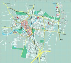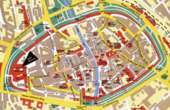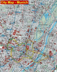
Munich City Map
City map of Munich, Germany
0 miles away
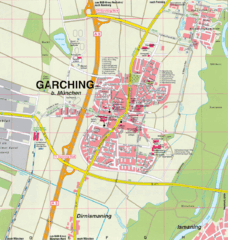
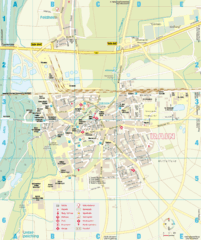
Garching bei München Map
Street map of Garching bei München
8 miles away
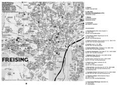
Freising City Map
20 miles away
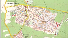
Geretsried Map
Street map of Geretsried
20 miles away
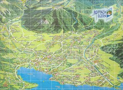
Rottach Egern Map
32 miles away
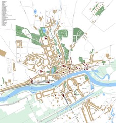
Landsberg Map
Street map of city of Landsberg
33 miles away
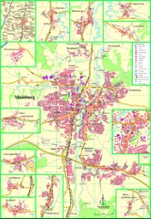
Mainburg Map
Street map of Mainburg city and surrounding region
36 miles away
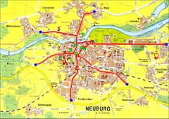
Neuburg an der Donau Map
Street map of Neuburg an der Donau
45 miles away
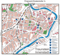
Traunstein Map
Street map of Traunstein
53 miles away
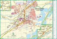
Höchstädt an der Donau Map
Street map of Höchstädt an der Donau
57 miles away
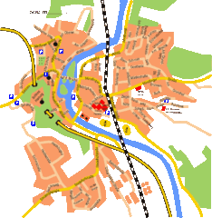
Harburg Map
Street map of Harburg town
60 miles away
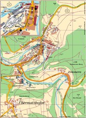
Pappenheim Map
Street map of Pappenheim
61 miles away
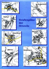
Treuchtlingen Districts Map
Street map of districts within the Treuchtlingen region
64 miles away
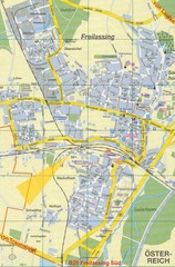
Freilassing Map
Street map of Freilassing
68 miles away
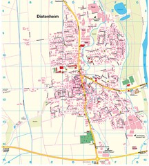
Dietenheim Map
Street map of Dietenheim
70 miles away
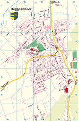
Regglisweiler Map
Map of town of Regglisweiler
70 miles away
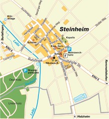
Ulm Steinheim Map
Street map of town of Ulm Steinheim
70 miles away
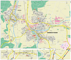
Herbrechtingen Map
Street map of city of Herbrechtingen
72 miles away
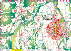
Oberstdorf City Map
City map of Oberstdorf, Germany and surrounding area. Shows buildings and ski lifts. In German.
79 miles away
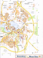
Bad Waldsee Map
Street map of Bad Waldsee
86 miles away
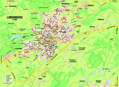
Lindenberg im Allgäu Map
Street map of Lindenberg
87 miles away
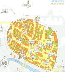
Herrieden Map
Street map of town center of Herrieden
90 miles away
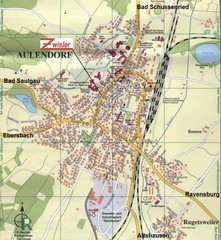
Aulendorf Map
Street map of city of Aulendorf
91 miles away
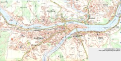
Passau Map
City map of Passau and surrounding area
92 miles away
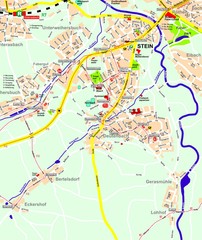
Stein Map
Street map of Stein and surrounding region
92 miles away
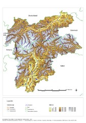
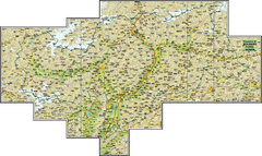
South Tyrol Elevation Map
Physical relief map of the South Tyrol region in present-day borders of Italy and Austria.
96 miles away
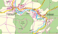
Indelhausen / Anhausen Map
Map of towns of Indelhausen & Anhausen
97 miles away

Crailsheim Map
Street map of Crailsheim region
97 miles away

Ehestetten Map
Street map of Ehestetten
100 miles away

