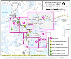
Seguin Township Map
Shows wards and parks in township of Seguin, Ontario.
0 miles away
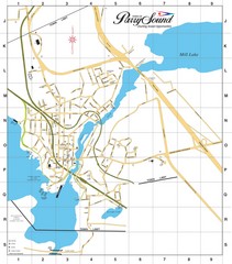
Parry Sound Town Map
12 miles away
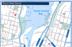
Owen Sound Map
Street map of Owen Sound
75 miles away
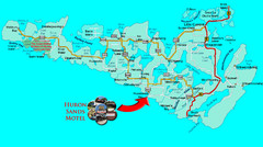
Manitoulin Island Map
The largest Island on a lake
113 miles away
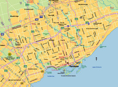
Toronto City Map
Street map of Toronto city
115 miles away
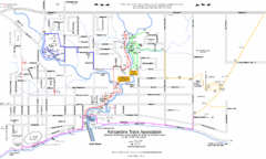
Kincardine Street & Trail Map
119 miles away
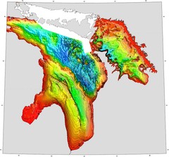
Lake Huron Depths Map
124 miles away
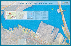
Port of Hamilton Map
Shows piers and tenants of Port of Hamilton, Ontario
140 miles away
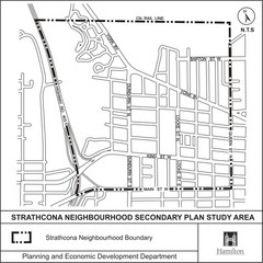
Strathcona Neighbourhood Map
141 miles away
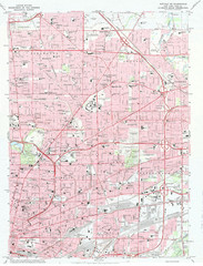
Northeast Buffalo Topo Map
1:24,000 topographic map of the northeast part of Buffalo, New York and surrounding suburbs...
169 miles away
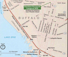
Buffalo, New York City Map
173 miles away
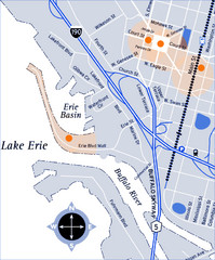
Downtown Buffalo Map
173 miles away
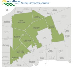
Middlesex County Map
Guide to Middlesex County and surrounds
180 miles away
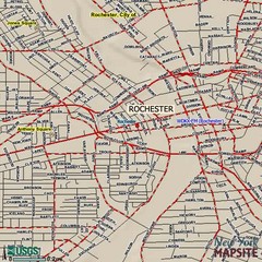
Rochester, New York City Map
183 miles away
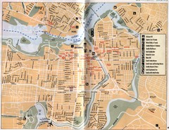
Ottawa Tourist Map
Tourist map of capital city of Ottawa, Canada. Shows tourist points of interest.
199 miles away
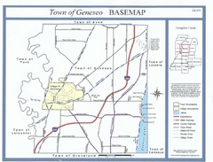
Geneseo Town Map
199 miles away
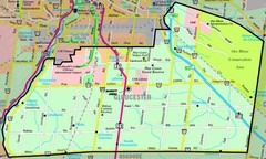
Gloucester Map
Street-map of Gloucester district
200 miles away
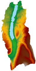
Digital Elevation Model (DEM) of Conesus Lake Map
Digital Elevation Model (DEM) of Conesus Lake Map created in ARC Gis
204 miles away
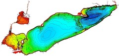
Lake Erie Depths Map
229 miles away
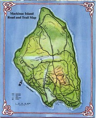
Mackinak Island Road and Trail Map
237 miles away
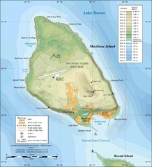
Mackinak Island topography Map
238 miles away
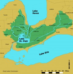
Lake St. Clair/St. Clair River watershed Map
Shows the Lake St. Clair/St. Clair River watershed.
241 miles away
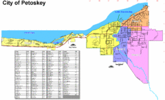
Petoskey Street Map
Street map of Petoskey, Michigan. Official city map.
252 miles away
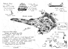
Peche Island Map
Hand-drawn map of Peche Island, Michigan
257 miles away

Olympic Scenic Byway Map
Overview map showing the length of the Olympic Scenic Byway, which runs from Lake Ontario (Sackett...
258 miles away
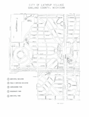
Lathrup Village Street Map
259 miles away
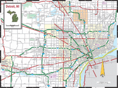
Detroit, Michigan City Map
262 miles away
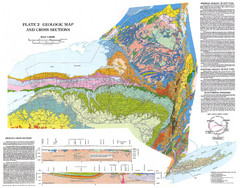
New York State Geologic Map
1:1,000,000 scale geological map of New York State
267 miles away
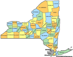
New York Counties Map
274 miles away
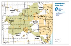
Huron River Watershed Map
Creek and watershed map of Huron River
275 miles away
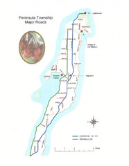
Peninsula Township Roads Map
Map of main roads in Peninsula Township
280 miles away
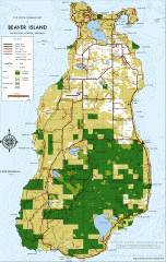
Beaver Island Michigan Map
Map of Beaver Island, Michigan. Created in 1977 by William Cashman and Edward Wojan. From...
281 miles away
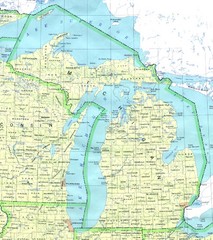
Lake Michigan Map
283 miles away
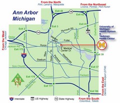
Ann Arbor, Michigan City Map
287 miles away
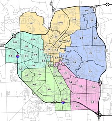
Ann Arbor City Map
City map of Ann Arbor, Michigan, with voting precincts.
287 miles away
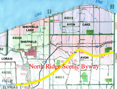
North Ridge Byway Map
The North Ridge Scenic Byway runs along Ohio State Route 254 in Lorain County, Ohio. Variously know...
289 miles away
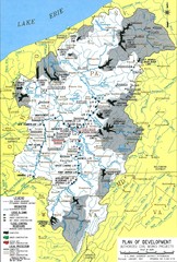
Pittsburgh District Development Map
Authorized Civil works projects for the Pittsburgh District marked as completed or in progress.
290 miles away
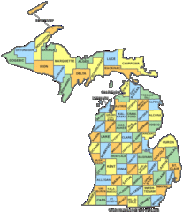
Michigan Counties Map
293 miles away

