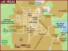
Las Vegas Area Map
0 miles away
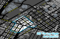
Las Vegas Arts District Map
3 miles away
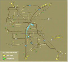
Golf Courses near Las Vegas, Nevada Map
Map of golf courses in and around Las Vegas, Nevada. Shows public and private courses, as well as...
4 miles away
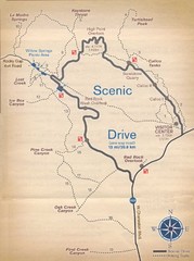
Red Rock Canyon Trail Map
Hiking trail map
17 miles away
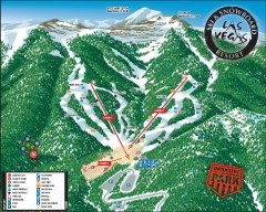
Las Vegas Ski & Snowboard Resort Ski Trail Map
Official ski trail map of Las Vegas Ski & Snowboard Resort (LVSSR) from the 2007-2008 season.
31 miles away
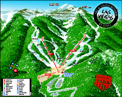
Las Vegas Ski & Snowboard Resort Ski Trail Map
Trail map from Las Vegas Ski & Snowboard Resort, which provides downhill skiing.
31 miles away
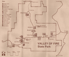
Valley of Fire State Park Map
Scanned from park brochure
44 miles away
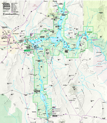
Lake Mead National Recreation Area Map
51 miles away
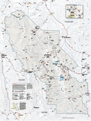
Death Valley National Park map
Official NPS map of Death Valley National Park. Shows all roads (paved and unpaved), 4 wheel drive...
92 miles away
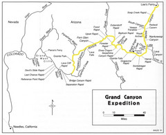
Grand Canyon River Expedition Map
Guide to the Colorado River, rapids and washes
95 miles away
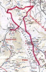
Death Valley Guide Map
96 miles away
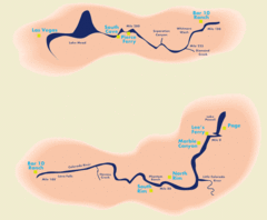
Grand Canyon River Rafting Map
Guide to the Colorado River, Grand Canyon river rafting
104 miles away
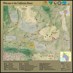
California Desert Recreation Map
Shows points of interest for recreational activities in the California desert
107 miles away
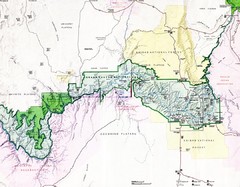
Grand Canyon Map
Guide to the Grand Canyon National Park
115 miles away
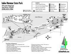
Lake Havasu State Park Map
Map of park with detail of trails and recreation zones
130 miles away
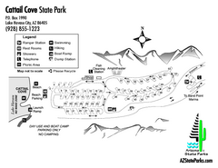
Cattail Cove State Park Map
Map of park with detail of trails and recreation zones
135 miles away
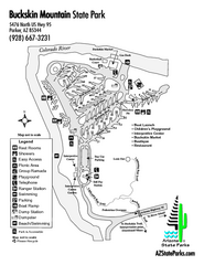
Buckskin Mountain State Park Map
Map of park with detail of trails and recreation zones
141 miles away

Zion Canyon Map
A detailed map of the Zion Canyon in Zion National Park
144 miles away
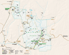
Zion National Park Official map
Official park map of Zion National Park. Shows trails, roads, and all park facilities.
146 miles away
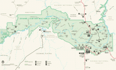
Grand Canyon National Park map
Official map of Grand Canyon National Park. Currently not available on the NPS website
153 miles away
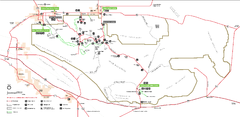
Joshua Tree National Park Official Park Map
Official NPS map of Joshua Tree National Park in California. Map shows all areas. The park is...
159 miles away
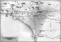
Southern California Sport Climbing Map
Guide to major sport climbing areas in Southern California
160 miles away
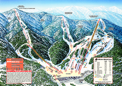
Bear Mountain Ski Trail Map
Official ski trail map of Bear Mountain ski area
162 miles away
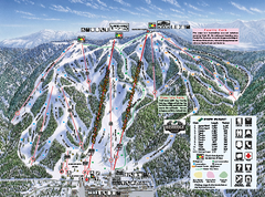
Snow Summit Ski Trail Map
Official ski trail map of Snow Summit ski area from the 2004-2005 season.
163 miles away
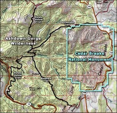
Topo Map of Ashdown Gorge Wilderness, including...
Cedar Breaks is similar to Bryce Canyon in many ways, but is more of an amphitheater than a canyon...
167 miles away
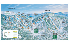
Brian Head Ski Trail Map
Official ski trail map of Brian Head ski area from the 2007-2008 season.
169 miles away
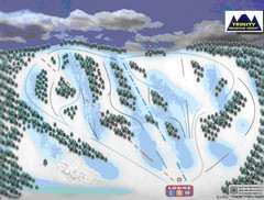
Trinity Mountain Resort Ski Trail Map
Trail map from Trinity Mountain Resort.
169 miles away
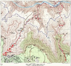
Grand Canyon Hiking Trail Map
Topo map of the Grand Canyon with a loop hike down the South Kaibab Trail and up Bright Angel Trail...
170 miles away
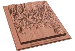
North Rim of the Grand Canyon carved by...
Grand Canyon carved by CarvedMaps.com. They specialize in hard wood carved maps of anywhere within...
170 miles away
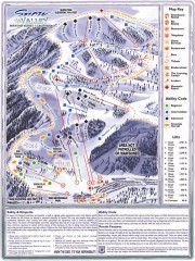
Snow Valley Ski Trail Map
Official ski trail map of Snow Valley ski area
171 miles away
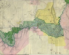
Grand Canyon National Park Map
Grand Canyon National Park including Kaibab National Forest and Coconino Plateau
172 miles away
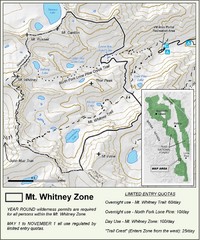
Mt. Whitney Zone Map
Zone map of Mt. Whitney area. Shows trail from Whitney Portal and Zone requiring Limited Use...
175 miles away
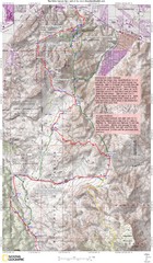
Palm Canyon Epic Trail Map
Upper Trailhead Map. Topo map marked with detail route and notes for ride.
177 miles away
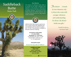
Saddleback Butte State Park Map
Map of park with detail of trails and recreation zones
179 miles away
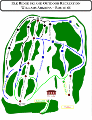
Elk Ridge Ski Trail Map
Trail map from Elk Ridge, which provides downhill skiing. It has 2 lifts servicing 7 runs; the...
179 miles away
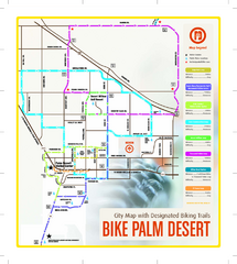
Palm Desert Biking Map
Biking route and trail map of Palm Desert, California
179 miles away
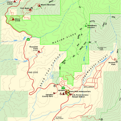
Mount San Jacinto State Park SW Map
Map of SW region of park with detail of trails and recreation zones
181 miles away
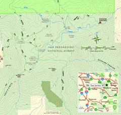
Mount San Jacinto State Park SE Map
Map of SE region of park with detail of trails and recreation zones
181 miles away
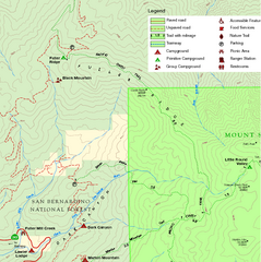
Mount San Jacinto State Park NW Map
Map of NW region of park with detail of trails and recreation zones
181 miles away
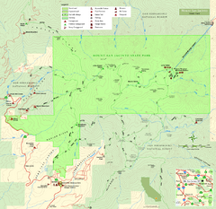
Mount San Jacinto State Park Map
Map of park with detail of trails and recreation zones
181 miles away

