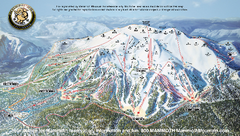
Mammoth Mountain Ski Trail map 2005
Official ski trail map of Mammoth Mountain ski area from the 2005-2006 season.
0 miles away
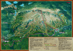
Mammoth Mountain Bike Park Map
Shows all trails at the Mammoth Mountain Bike Park.
less than 1 mile away
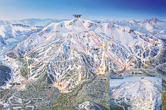
Mammoth Mountain Ski Trail Map
Trail map from Mammoth Mountain, which provides downhill, nordic, and terrain park skiing. It has...
less than 1 mile away
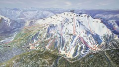
Mammoth Trail Map
Ski trail map
less than 1 mile away
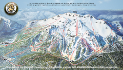
Mammoth Mountain Downhill Skiing Trails Map
Downhill skiing trails on Mammoth Mountain, near Mammoth Lakes, California. Shows trails and their...
2 miles away
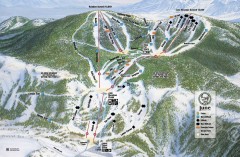
June Mountain Ski Trail Map
Official ski trail map of June Mountain ski area from the 2007-2008 season.
9 miles away
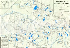
Fish Creek Area Anglers' Map
Hand-drawn fishing map of lakes, peaks, and trails in the Fish Creek Area of the John Muir...
10 miles away
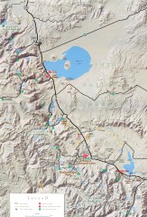
Eastern Sierra Trailhead Map - Lee Vining and...
Shows ranger stations and major trailheads in the eastern Sierra Nevada in the Mono Lake and...
12 miles away
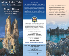
Mono Lake Tufa State Natural Reserve Map
Map of reserve with detail of trails and recreation zones
25 miles away
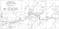
Yosemite Valley Park Map
Guide Map of the Yosemite National Forest
29 miles away

John Muir Trail Elevation Map
Profile, Elevation, Landmarks and Mileage for the John Muir Trail entertainment not accurate enough...
30 miles away
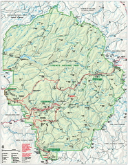
Yosemite National Park official map
Official park map showing trails, roads, campgrounds, ranger stations, parking, picnic areas, and...
31 miles away
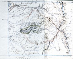
Proposed Yosemite National Park Map 1890
John Muir's map of proposed Yosemite National Park, California. Green is the original 1864...
32 miles away
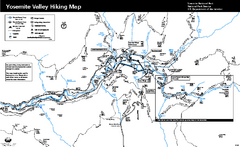
Yosemite Valley Trail Map
Trail map of hiking trails in Yosemite Valley, Yosemite National Park, California.
32 miles away
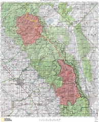
Sierra High Route Map
Guide to the Sierra High Route, one of the most challenging treks in the Sierras
32 miles away
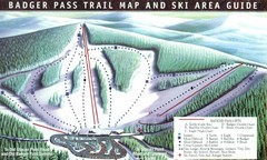
Badger Pass Ski Trail Map
Official ski trail map of Badger Pass ski area
35 miles away

Bodie State Park SE Map
Map of park with detail of trails and recreation zones
39 miles away

Bodie State Park SW Map
Map of park with detail of trails and recreation zones
39 miles away
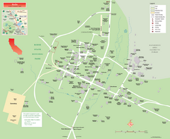
Bodie State Park Map
Map of park with detail of trails and recreation zones
40 miles away

Bodie State Park NW Map
Map of park with detail of trails and recreation zones
40 miles away

Bodie State Park NE Map
Map of park with detail of trails and recreation zones
41 miles away
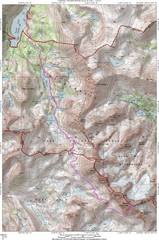
North Palisade South Lake Route Topo Map
Topo map of route from South Lake to North Palisade, 14,242 ft.
45 miles away
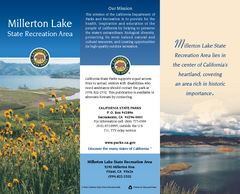
Millerton Lake State Recreation Area Map
Map of park with detail of trails and recreation zones
52 miles away
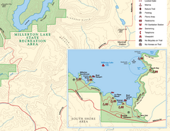
Millerton Lake State Recreation Area SE Map
Map of SE region of park with detail of trails and recreation zones
52 miles away
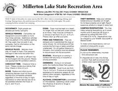
Millerton Lake State Recreation Area Campground...
Map of campground region of park with detail of trails and recreation zones
52 miles away

Millerton Lake State Recreation Area NE Map
Map of NE region of park with detail of trails and recreation zones
52 miles away
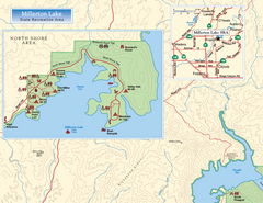
Millerton Lake State Recreation Area NW Map
Map of NW region of park with detail of trails and recreation zones
52 miles away
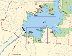
Millerton Lake State Recreation Area SW Map
Map of SW region of park with detail of trails and recreation zones
53 miles away

Millerton Lake State Recreation Area Park Map
Map of park with detail of trails and recreation zones
53 miles away
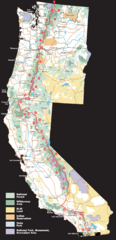
Pacific Crest Trail Route Overview Map
Western United States Map showing National Forests, State Parks, National Parks, Indian...
63 miles away
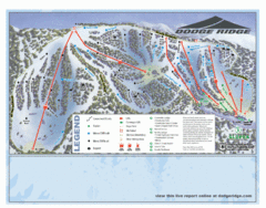
Dodge Ridge Ski Area Ski Trail Map
Trail map from Dodge Ridge Ski Area, which provides downhill, nordic, and terrain park skiing. It...
64 miles away
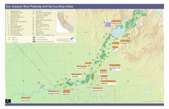
San Joaquin River Parkway Map
Map of the San Joaquin River Parkway. "The San Joaquin River Parkway is a mosaic of parks...
64 miles away
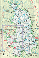
Sequoia National Park map and Kings Canyon...
Official park map of Sequoia National Park and Kings Canyon National Park.
69 miles away
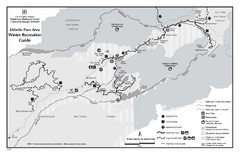
Ebbetts Pass Area Map
Guide to Winter Recreation at Ebbetts Pass
79 miles away
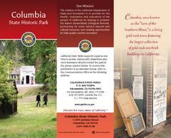
Columbia State Historic Park Map
Map of park with detail of trails and recreation zones
80 miles away
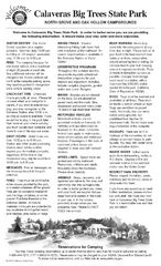
Calaveras Big Trees State Park Map
Map of park with detail of trails and recreation zones
81 miles away
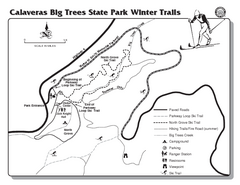
Calaveras Big Trees State Park Winter Map
Map of park with detail of winter ski trails and recreation zones
81 miles away
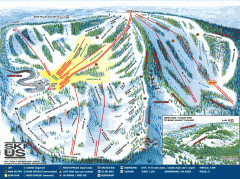
Bear Valley Ski Trail Map
Official ski trail map of Bear Valley ski area from the 2007-2008 season.
81 miles away
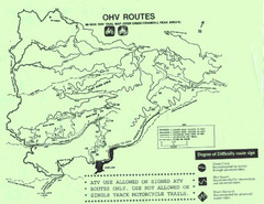
Mi-Wok OHV Trail Map
Trail Maps for Off Road Bikes in Stanislaus National Forest
83 miles away
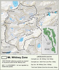
Mt. Whitney Zone Map
Zone map of Mt. Whitney area. Shows trail from Whitney Portal and Zone requiring Limited Use...
84 miles away

