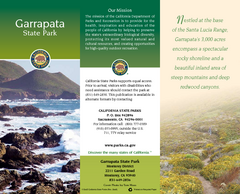
Garrapata State Park Map
Map of park with detail of trails and recreation zones
0 miles away
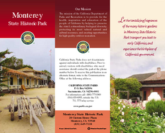
Monterey State Historic Park Map
Map of park with detail of trails and recreation zones
9 miles away
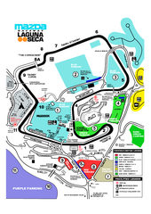
Laguna Seca Raceway Map
Overview map of the Laguna Seca Raceway. Shows track, parking, and facilities.
12 miles away
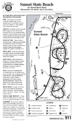
Sunset State Beach Campground Map
Map of park with detail of trails and recreation zones
29 miles away
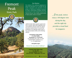
Fremont Peak State Park Map
Map of park with detail of trails and recreation zones
30 miles away
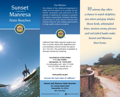
Sunset & Manresa State Beaches Map
Map of beaches and parks with detail of trails and recreation zones
30 miles away
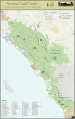
Ventana Wilderness Trails Map
Trail map of the Ventana Wilderness east of Big Sur. Also shows trails in the Silver Peak...
32 miles away
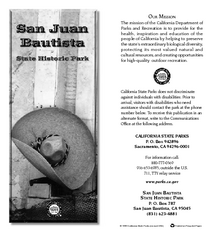
San Juan Bautista State Historic Park Map
Map of park with detail of trails and recreation zones
33 miles away
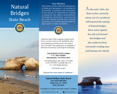
Natural Bridges State Beach Map
Map of beach and park with detail of trails and recreation zones
34 miles away
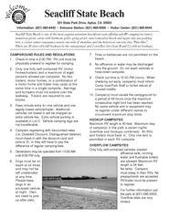
Seacliff State Beach Campground Map
Map of campground region of beach and park with detail of trails and recreation zones
35 miles away
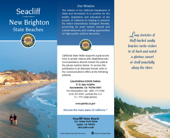
Seacliff & New Brighton State Beaches Map
Map of beaches and parks with detail of trails and recreation zones
35 miles away
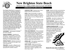
New Brighton State Beach Campground Map
Map of campground region of beach/park with detail of trails and recreation zones
35 miles away
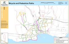
Santa Cruz, CA Bike Map
36 miles away
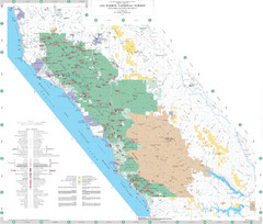
Los Padres National Forest Map - North
Overview map of the northern section of Los Padres National Forest in the Monterey Ranger District...
36 miles away
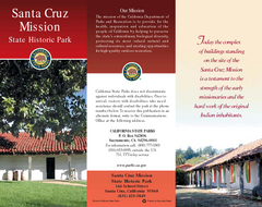
Santa Cruz Mission State Historic Park Map
Map of park and mission
36 miles away
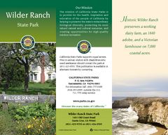
Wilder Ranch State Park Map
Map of park with detail of trails and recreation zones
37 miles away
Limeklin State Park Map
Map of park with detail of trails and recreation zones
39 miles away
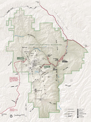
Pinnacles National Monument Map
41 miles away
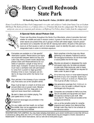
Henry Cowell Redwoods State Park Campground Map
Map of campground region of park with detail of trails and recreation zones
43 miles away
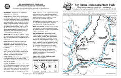
Big Basin Redwoods State Park Map
Map of park with detail of trails and recreation zones
52 miles away
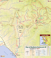
Big Basin Redwoods State Park Trail Map
Topographical trail map of Big Basin Redwoods State Park. Shows roads, trails, natural and other...
53 miles away
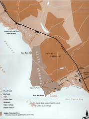
Ano Nuevo State Park Map
Map of park with detail of trails and recreation zones
53 miles away

Ano Nuevo State Park Map
Map of park with detail of trails and recreation zones
54 miles away
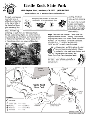
Castle Rock State Park Map
Map of park with detail of trails and recreation zones
54 miles away
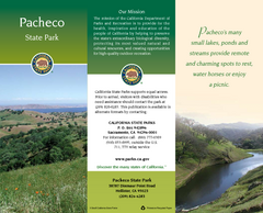
Pacheco State Park Map
Map of park with detail of trails and recreation zones
55 miles away
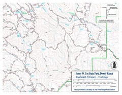
Henry W. Coe State Park, Dowdy Ranch Map
Henry W. Coe State Park Southeast Entrance Trail Map.
55 miles away
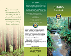
Butano State Park Map
Map of park with detail of trails and recreation zones
56 miles away
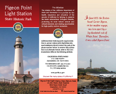
Pigeon Point Light Station State Historic Park Map
Map of park with detail of trails and recreation zones
56 miles away
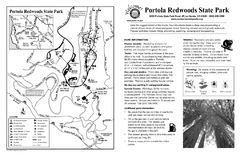
Portola Redwoods State Park Campground Map
Map of campground region of park with detail of trails and recreation zones
57 miles away
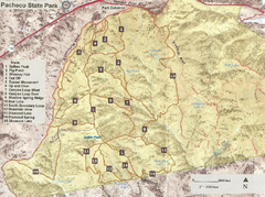
Pacheco State Park Trail Map
Map of park with details of different trails
57 miles away
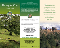
Henry W. Coe State Park Map
Map of park with detail of trails and recreation zones
57 miles away
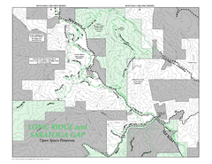
Long Ridge Open Space Preserve Map
58 miles away
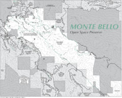
Monte Bello Open Space Preserve Map
Trail map of Monte Bello Open Space Preserve. Covers 3,142 acres and 15.5 miles of trails
60 miles away
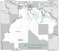
Skyline Ridge Open Space Preserve Map
Trail map of Skyline Ridge Open Space Preserve. Covers 2143 acres and 10.9 miles of trails
60 miles away
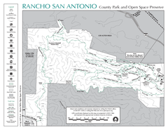
Rancho San Antonio Open Space Preserve Map
Park map of Rancho San Antonio Open Space Preserve near Los Altos, CA. Encompasses 3800 acres and...
61 miles away
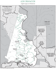
Los Trancos Open Space Preserve Map
Trail map of Los Trancos Open Space Preserve. Shows 274 acres, 5.2 miles of trails.
62 miles away
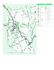
Joseph D. Grant County Park Map
Trail map of Joseph D Grant County Park in Santa Clara County, California
62 miles away
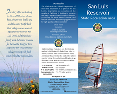
San Luis Reservoir State Recreation Area Map
Map of park and reservoir with detail of trails and recreation zones
62 miles away
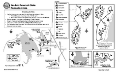
San Luis Reservoir State Recreation Area...
Map of campground region of park and reservoir with detail of trails and recreation zones
62 miles away
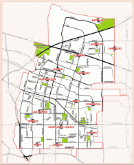
Sunnyvale map 94087 - City Parks
City parks map for Sunnyvale, California 94087. Go to the Sunnyvale Parks and Recreation site to...
63 miles away

