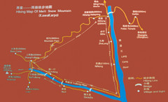
Meili Snow Mountain Hiking Map
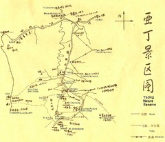
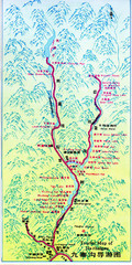
Hiking trail map of Meili Snow Mountain (Kawakarpo) near Lijiang, China. Kawagebo is one of the...
95 miles away
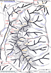
Minya Konka Trekking Map
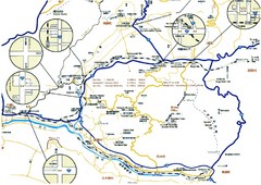
Trekking map of Minya Konka (Mt. Gongga / Gongga Shan). Minya Konka is located in eastern Tibet...
148 miles away
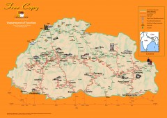
Bhutan Tourist map
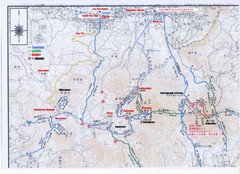
Bhutan tourism map from the Bhutan Department of Tourism. Shows roads, trekking routes, campsites...
608 miles away
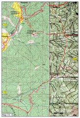
Dochula to Lungchuzekha Gonpa trail map 1
Dochula to Lungchuzekha Gonpa trail . Near Thmphu,Bhutan
645 miles away
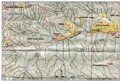
Dochula to Lungchuzekha Gonpa trail map 2
648 miles away
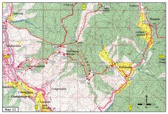
Trail from Yangchenphug HS to Thadranang and...
Yangchenphug high school to Thadranang, Oselpang near Hongtso
654 miles away
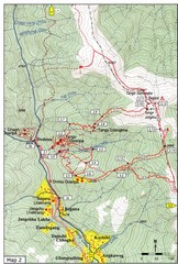
Trails near Tango Monastery, Thimphu Map
Trails around Tango Monastery, Thimphu, Bhutain
655 miles away
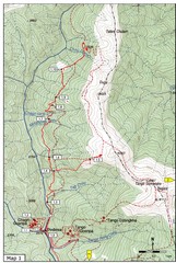
Trails near Cgagri monastery, Thimphu Map
trails near Chagri monastery Thimphu, Bhutan
656 miles away
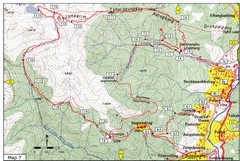
Dechenphu Valley, Thimphu Map
656 miles away

Thimphu trekking trails Map
Overview map of day hikes around Thimphu, Bhutan
656 miles away
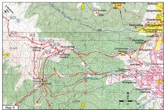
Dechenphodrang and Pajoding, Thimphu Map
Dechenphodrang to Pajoding, Tujedrag and Pumola monastaries
657 miles away
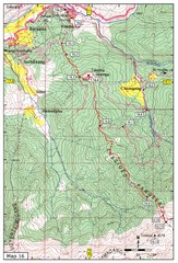
Simtokha-Talakha trail near Thimphu Map
Simtokha to Talakha trail
657 miles away
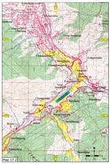
Khasadrapchu to Thimphu trail pt 2 Map
Khasadrapchu to Thimphu trail part 2. (Rama to Thimphu)
659 miles away
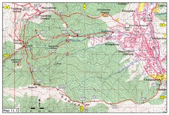
Trail fom Youth Center Thimphu to Pumola...
Way to Pumola monastery
660 miles away
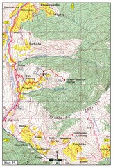
Trail from Sisina to Kunzangdechen monastery Map
Sisina to Kunzangdechen trail
662 miles away
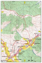
Khasadrapchu to Thimphu trail pt 1 Map
662 miles away
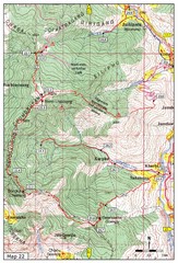
Trail to Bemri Lhakhang Map
Trail to Bemri Lhakhang south of Thimphu
663 miles away

Trail to Paga Monastery Map
Trail to Paga Monastery near Chudzomtsa
663 miles away
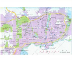
Shenzhen City Tourist Map
Tourist map of Shenzhen City, China. Shows points of interest.
949 miles away
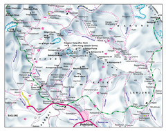
Gandaki Mountain Trail Map
Map of hiking trails for Gandaki Moutain range, Nepal.
991 miles away
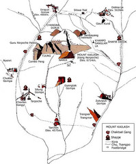
Mt. Kailash Hiking Map
Hiking on a sacred mountain.
1155 miles away
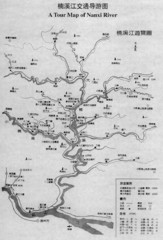
Nanxi River Tourist Map
Map of Nanxi River, Wenzhou, China.
1210 miles away
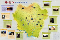
Nanxi River Detailed Tourist Map
Nanxi Jiang River, detailed descriptions.
1239 miles away
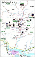
Nanxi River Area Tourist Map
Tourist map of Nanxi River, Zenhou.
1240 miles away
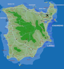
Koh Samui Island Map
Guide to Koh Samui hotels, beaches and temples
1311 miles away
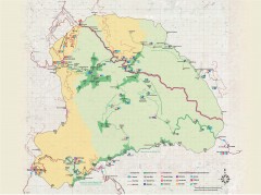
Yushan National Park Hiking Map
Trail map of Yushan National Park, Tawian. Home to highest mountain in Taiwan and East Asia...
1331 miles away
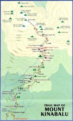
Mt Kinabalu Trail map
Trail map of route to summit of Mt. Kinabalu, the highest mountain in Malaysia at 4,101m. Please...
1876 miles away
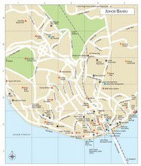
Johor Bahru Tourist Map
1880 miles away
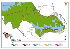
Singapore Island Nature Reserve Hiking Map
Nature reserve on Singapore island.
1887 miles away
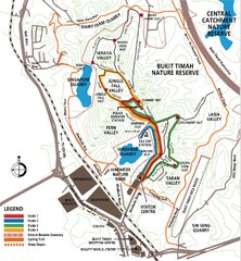
Bukit Timah Nature Reserve Map
Shows hiking and biking trails in Bukit Timah Nature Reserve in Singapore
1888 miles away
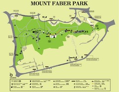
Mount Faber Park Map
Guide to Mount Faber Park in Singapore
1894 miles away
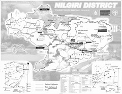
Nilgiri District Tourist Map
Tourist map of Nilgiri District, Tamilnadu, India. Shows trekking routes.
1932 miles away
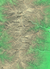
Kiso-Komagatake Hiking Map
Map of Chuo Alps.
2238 miles away
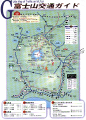
Mt. Fuji Road and Trail Map
Guide Map of Traffic on Mt. Fuji
2290 miles away

Shimoda Area Tourist Map
Places of interest, hiking.
2300 miles away

