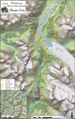
Whistlestop Proposed Hut System Map
Shows proposed huts along the Alaska Railroad’s Backcountry Whistlestop Project in Chugach...
0 miles away
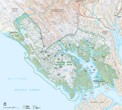
Glacier Bay National Park map
Detailed map of Glacier Bay National Park and Preservation in Alaska
439 miles away
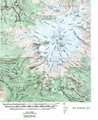
Mt. Baker Topo Map
Topo map of Mt. Baker, Washington, elevation 10,778ft.
1349 miles away
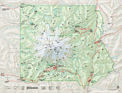
Mount Rainier National Park map
Official NPS map of Mt. Rainier National Park. Shows the entire park and surroundings
1453 miles away
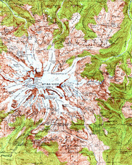
Mount Rainier Topographic Map
Guide to topography and glaciers of Mount Rainier
1455 miles away
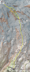
Mount Rainier Climbing Map
Guide to climbing Mount Rainier, Camp Muir Route
1458 miles away

Mt. Hood SkiBowl Ski Trail Map
Trail map from Mt. Hood SkiBowl.
1538 miles away
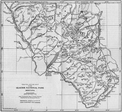
1915 Glacier National Park Map
Historical map of Glacier National Park in Montana.
1601 miles away
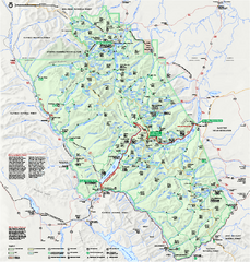
Glacier National Park official map
Glacier National Park official map.
1606 miles away
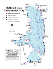
Bathymetric Map of Flathead Lake
Bathymetry refers to underwater depth
1636 miles away
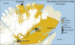
Quttinirpaaq National Park map
Official Parks Canada map of Quttinirpaaq National Park. From Parks Canada website: "Far to...
1978 miles away
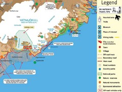
Vatnajökull National Park Map
Home of Iceland's highest mountain 2119m
3467 miles away
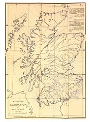
Scotland Glaciation Map
Guide to glacial movement that formed Scotland
4104 miles away
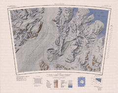
The Cloudmaker Topo Map
Topo map of region surrounding The Cloudmaker mountain and the Beardmore Glacier. 1:250,000 scale.
9394 miles away
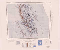
Vinson Massif Topo Map
Topo map of Vinson Massif, the highest mountain in Antarctica at 16067 ft / 4897 m. One of the...
9965 miles away

