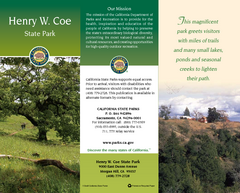
Henry W. Coe State Park Map
Map of park with detail of trails and recreation zones
160 miles away
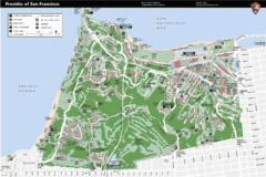
Presidio of San Francisco detail map
Detail map of the Presidio of San Francisco from NPS. Shows hiking/walking trails and POIs such as...
160 miles away
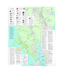
Marin Bicycle Map - Side B
Bike route map of Marin County, California. Shows primary and secondary road routes, paved and...
160 miles away
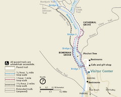
Muir Woods Trail Map
Shows paved loop walks and extended unpaved trails in Muir Woods National Monument, California
160 miles away
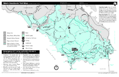
Marin Headlands Trail Map
Trail map of Marin Headlands in Marin County, California. Shows trails with distances by use type...
160 miles away
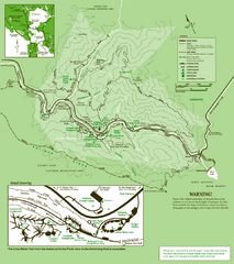
Samuel Taylor State Park Trail Map
Trail map of Samuel Taylor State Park near Lagunitas, CA.
161 miles away
Mount Tamalpais State Park Map
Map of park with detail of trails and recreation zones
161 miles away
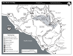
Muir Woods Trail Map
Black and white trail map of Muir Woods National Monument and surrounding Mount Tamalpais State...
161 miles away
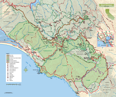
Mount Tamalpais State Park Map
Topographic trail map of Mt Tamalpais State Park in Marin County, California.
161 miles away
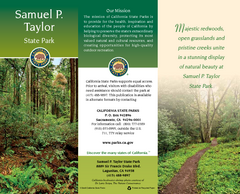
Samuel P. Taylor State Park Map
Map of park with detail of trails and recreation zones
162 miles away
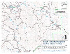
Henry W. Coe State Park, Dowdy Ranch Map
Henry W. Coe State Park Southeast Entrance Trail Map.
162 miles away
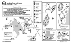
San Luis Reservoir State Recreation Area...
Map of campground region of park and reservoir with detail of trails and recreation zones
162 miles away
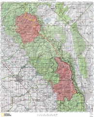
Sierra High Route Map
Guide to the Sierra High Route, one of the most challenging treks in the Sierras
162 miles away
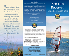
San Luis Reservoir State Recreation Area Map
Map of park and reservoir with detail of trails and recreation zones
162 miles away
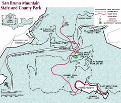
San Bruno Mountain Park Map
Park map of San Bruno Mountain State and County Park. Shows trails in northwest part of park.
164 miles away
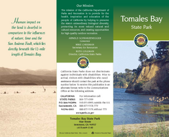
Tomales Bay State Park Map
Map of park with detail of trails and recreation zones
165 miles away
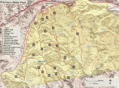
Pacheco State Park Trail Map
Map of park with details of different trails
165 miles away
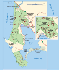
Bodega Bay Park Map
Park map of the Sonoma Coast State Beach park lands in Bodega Bay, California. Shows roads, trails...
166 miles away
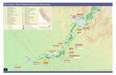
San Joaquin River Parkway Map
Map of the San Joaquin River Parkway. "The San Joaquin River Parkway is a mosaic of parks...
167 miles away
Pacheco State Park Map
Map of park with detail of trails and recreation zones
167 miles away
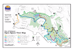
Water Dog Lake Park Trail Map
Trail map of Water Dog Lake Park. Open to mountain biking.
168 miles away
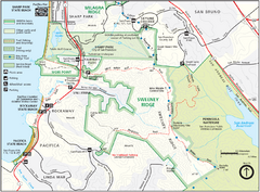
Sweeney Ridge Map
Trail map of Sweeney Ridge, part of the Golden Gate National Recreational Area.
169 miles away

San Mateo County Mid-County Trail Map
Trail map of mid-county trails in San Mateo County, California.
169 miles away
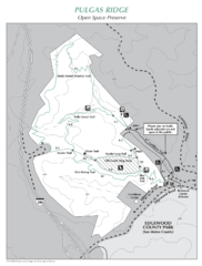
Pulgas Ridge Open Space Preserve Map
Trail map of Pulgas Ridge Open Space Preserve. 366 acres and 6 miles of trails
169 miles away
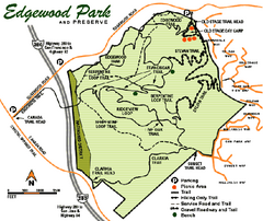
Edgewood County Park Trail Map
Trail map of Edgewood Park and Preserve in Redwood City, California.
169 miles away
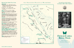
Fifield-Cahill Ridge Trail Map
Trail map and brochure of the Fifield-Cahill Ridge Trail in the San Francisco Peninsula Watershed.
170 miles away
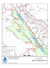
Fifield-Cahill Ridge Trail Map
Trail map of the Fifield-Cahill Ridge Trail in the San Francisco Peninsula Watershed.
170 miles away
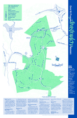
Arastradero Preserve Map
Trail map of Arastradero Preserve shows 10.25 miles of trails.
171 miles away
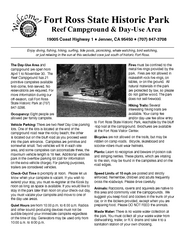
Fort Ross State Historic Park Campground Map
Map of park with detail of trails and recreation zones
171 miles away
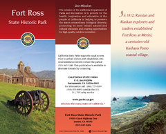
Fort Ross State Historic Park Map
Map of park with detail of trails and recreation zones
171 miles away
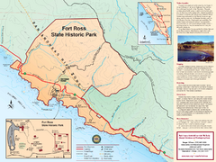
Fort Ross State Historic Park Map
Map of park with detail of trails and recreation zones
171 miles away
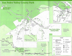
San Pedro Valley County Park Map
Trail map of San Pedro Valley County Park. 1,100 acre park with miles of trails and waterfall...
171 miles away

San Pedro Valley Park Map
Park map of San Pedro Valley County Park in San Mateo County, California.
171 miles away
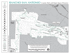
Rancho San Antonio Open Space Preserve Map
Park map of Rancho San Antonio Open Space Preserve near Los Altos, CA. Encompasses 3800 acres and...
171 miles away
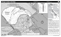
Phleger Estate Trail Map
Trail map of Phleger Estate, part of the Golden Gate National Recreation Area, in Woodside...
171 miles away
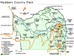
Huddart County Park Map
Trail map of Huddart County Park near Woodside, California.
172 miles away
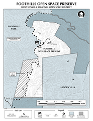
Foothills Regional Open Space Preserve Map
Preserve map of 212 acre Foothills Regional Open Space Preserve. A 0.4 mile trail leads from Page...
172 miles away
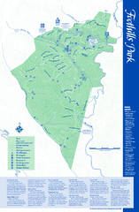
Palo Alto Foothills Park Map
Trail map of Palo Alto Foothills Park. 1400 acres and 15 miles of trails.
172 miles away
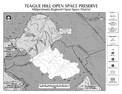
Teague Hill Open Space Preserve Map
Trail map of Teague Hill Open Space Preserve near Woodside, California. Only one trail enters a...
172 miles away
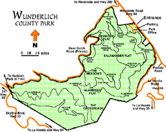
Wunderlich County Park Map
Trail map of Wunderlich County Park near Woodside, California. "The Alambique Trail offers a...
172 miles away

