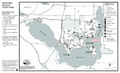
Myre-Big Island State Park Summer Map
Summer seasonal map of park with detail of trails and recreation zones
192 miles away
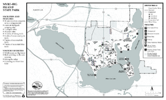
Myre-Big Island State Park Winter Map
Winter seasonal map of park with detail of trails and recreation zones
192 miles away
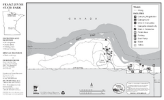
Franz Jevne State Park Map
Map of park with detail of trails and recreation zones
193 miles away
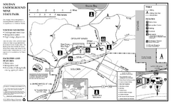
Soudan Underground Mine State Park Map
map of park with detail of trails and recreation zones
194 miles away
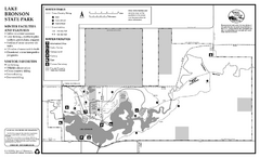
Lake Bronson State Park Winter Map
Winter seasonal map of park with detail of trails and recreation zones
198 miles away
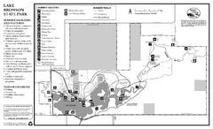
Lake Bronson State Park Summer Map
Summer seasonal map of park with detail of trails and recreation zones
198 miles away
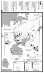
Bear Head Lake State Park Map
Map of park with detail of trails and recreation zones
198 miles away
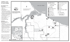
Zippel Bay State Park Winter Map
Winter seasonal map of park with detail of trails and recreation zones
200 miles away
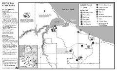
Zippel Bay State Park Summer Map
Summer seasonal map of park with detail of trails and recreation zones
200 miles away
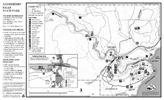
Gooseberry Falls State Park Map
Map of park with detail of trails and recreation zones
201 miles away
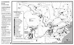
Gooseberry Falls State Park Winter Map
Winter season map of park with detail of trails and recreation zones
201 miles away
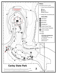
Carley State Park Map
Map of park with detail of trails and recreation zones
202 miles away
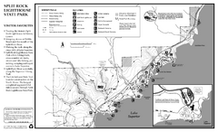
Split Rock Lighthouse State Park Winter Map
Winter seasonal map of park with detail of trails and recreation zones
204 miles away
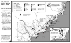
Split Rock Lighthouse State Park Summer Map
Summer seasonal map of park with detail of trails and recreation zones
204 miles away
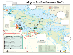
Voyageurs National Park Official Park Map
Official NPS map of Voyageurs National Park in Minnesota. Map shows all areas and hiking trails...
207 miles away
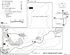
Pilot Knob State Park Map
Map of trails and park facilities in Pilot Knob State Park.
209 miles away
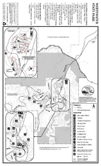
Whitewater State Park Map
map of park with detail of trails and recreation zones
209 miles away
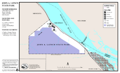
John A. Latsch State Park Map
Map of park with detail of trails and recreation zones
213 miles away
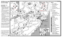
Tettegouche State Park Map
map of park with detail of trails and recreation zones
216 miles away
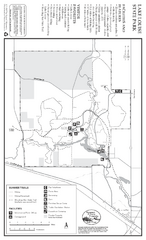
Lake Louise State Park Map
Map of park with detail of trails and recreation zones
219 miles away
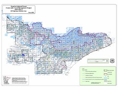
Superior National Park Map
Park Map in Minnesota. Does not include road or highway names
219 miles away
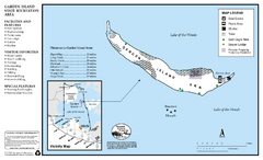
Garden Island State Recreation Area Map
Map of park with detail of trails and recreation zones
221 miles away
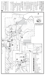
Forestville/Mystery Cave State Park Map
Map of park with detail of trails and recreation zones
224 miles away
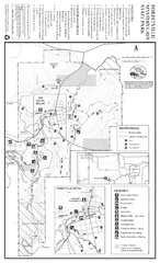
Forestville/Mystery Cave State Park Winter Map
Winter map of park with detail of trails and recreation zones
224 miles away
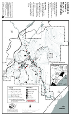
George Crosby Manitou State Park Map
Map of park with detail of trails and recreation zones
226 miles away
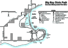
Big Bay State Park Map
Detailed map of nice hikes and stops around Big Bay State Park near Lake Superior.
229 miles away
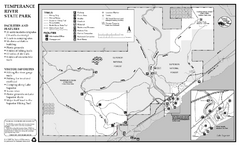
Temperance River State Park Map
map of park with detail of trails and recreation zones
238 miles away
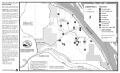
Great River Bluffs State Park Summer Map
Summer season map of park with detail of trails and recreation zones
240 miles away
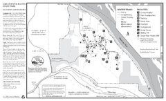
Great River Bluffs State Park Winter Map
Winter season map of park with detail of trails and recreation zones
240 miles away
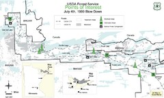
Quetico Provincial Park Map
BWCAW Visitors Map. Shows parameters of BWCAW areas, camp grounds, roads and information kiosks.
244 miles away
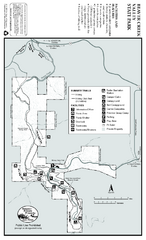
Beaver Creek Valley State Park Map
Map of park with detail of trails and recreation zones
246 miles away
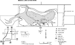
Beeds Lake State Park Map
Map showing lake depths, trails and facilities of Beeds Lake State Park.
246 miles away
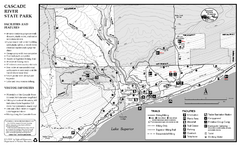
Cascade River State Park Map
Map of park with detail of trails and recreation zones
257 miles away
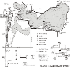
Black Hawk State Park Map
Map of trails, lake depths and facilities for Black Hawk State Park.
257 miles away
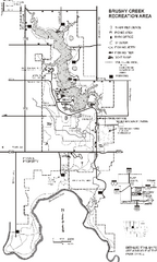
Brushy Creek State Park Map
Map of hiking, biking and equestrian trails, lake depths and park facilities in Brushy Creek State...
258 miles away
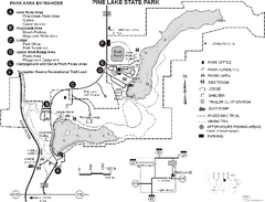
Pine Lake State Park Map
Map of trails and park facilities in Pine Lake State Park.
275 miles away
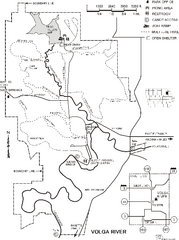
Volga River State Recreation Area Map
Map of trails and park facilities in Volga River State Recreation Area.
279 miles away
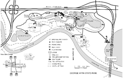
George Wyth State Park Map
Map of trails, lakes, fishing and park facilities in George Wyth State Park
280 miles away
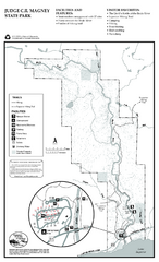
Judge C.R. Magney State Park Map
Map of park with detail of trails and recreation zones
280 miles away
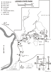
Ledges State Park Map
Map of trails and park facilities for Ledges State Park.
287 miles away

