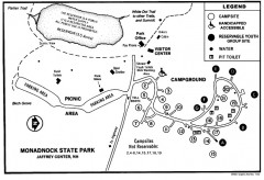
Monadnock State Park map
Campground map of Monadnock State Park in New Hampshire
97 miles away
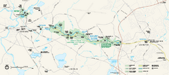
Minute Man National Historical Park Official Map
Official NPS map of Minute Man National Historical Park in Massachusetts. Map shows all areas. The...
106 miles away
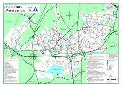
Blue Hills State Park Map
Clearly marked state park map of this beautiful state park.
111 miles away
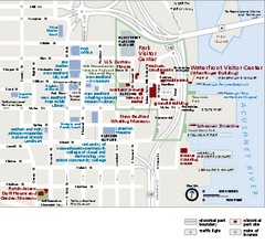
New Bedford Whaling National Historical Park...
Official NPS map of New Bedford Whaling National Historical Park in Massachusetts. Map shows all...
111 miles away
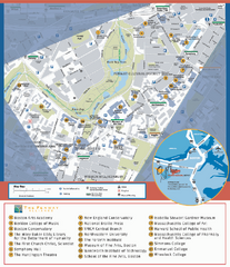
Fenway Cultural District Map
Map of the Fenway Cultural District. Shows schools, museums, libraries, and other cultural points...
114 miles away
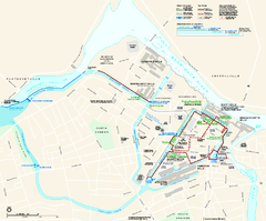
Lowell National Historical Park Official Map
Official NPS map of Lowell National Historical Park in Lowell, Massachusetts. Map shows all of...
115 miles away
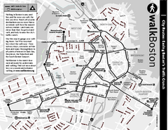
Walking Map of Boston, Massachusetts
Tourist map of Boston, Massachusetts, showing walking routes and times, as well as museums, squares...
116 miles away
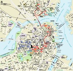
Boston National Historical Park Official Park Map
Official NPS map of Boston National Historical Park in Boston, Massachusetts. From park brochure...
117 miles away
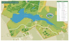
Mercer County Park Map
125 miles away
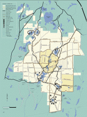
Myles Standish State Forest summer trail map
Map of all the trails and roads in Myles Standish State Park, MA. 15 miles of bicycle trails, 35...
126 miles away
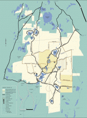
Myles Standish State Forest winter trail map
Winter activity map of all the trails and roads in Myles Standish State Park, MA. Cross country...
126 miles away
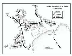
Bear Brook State Park Campground map
Campground map of Bear Brook State Park in New Hampshire
134 miles away
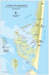
Island Beach State Park Canoe and Kayak map
Canoe and kayak guide to the Sedge islands in Island Beach State Park near Barnegat Bay, NJ. The...
136 miles away
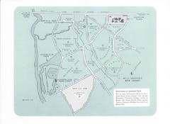
Willingboro Map
146 miles away
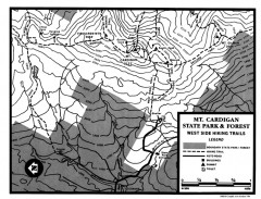
Cardigan State Park map
Topographical map of West Side hiking trails in Cardigan State Park in New Hampshire.
151 miles away
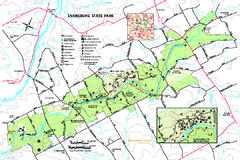
Evansburg State Park map
Detailed map of Evansburg State Park in Pennsylvania
157 miles away
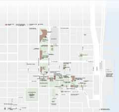
Independence National Historical Park Official Map
Official NPS map of Independence National Historical Park in Pennsylvania. Map shows all areas...
161 miles away
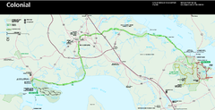
Colonial National Historical Park Official Map
Official NPS map of Colonial National Historical Park in Virginia. The Historic Jamestowne...
162 miles away
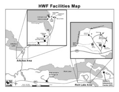
Adirondack Map
Map of Adirondack Park Reserve. Shows Rich Lake Area, Arbutus Area, and the location of the...
172 miles away
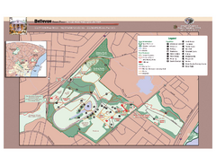
Bellevue State Park Map
Beautiful park with easy to read details.
181 miles away
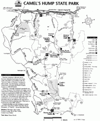
Camel's Hump State Park map
Map of Camel's Hump State Park, Vermont. Shows all hiking, snowmobile, and X-C ski trails...
187 miles away
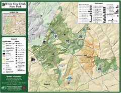
White Clay Creek State Park Map
Clear map and legend of this beautiful state park.
193 miles away
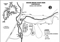
Moose Brook State Park map
Campground map of Moose Brook State Park in New Hampshire.
213 miles away
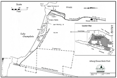
Alburg Dunes State Park map
Map of Alburg Dunes State Park in Vermont.
223 miles away
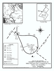
Milan Hill State Park Campground map
Campground map for Milan Hill State Park in New Hampshire.
223 miles away
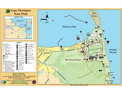
Cape Henlopen State Park Map
Beautiful park with delightful recreational activities.
225 miles away
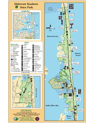
Deleware Seashore State Park Map
Park with perfect views and hiking routes.
233 miles away
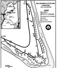
Mollidgewock State Park map
Campground map of Mollidgewock State Park in New Hampshire.
235 miles away
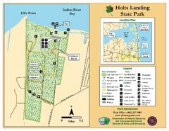
Hots Landing State Park Map
Clear map and legend.
237 miles away
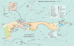
Pine Grove Furnace State Park map
Detailed recreation map for Pine Grove Furnace State Park in Pennsylvania
246 miles away
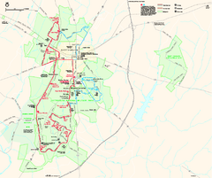
Gettysburg National Military Park Official Map
Official NPS map of Gettysburg National Military Park in Virginia. The park is open daily from 6...
252 miles away
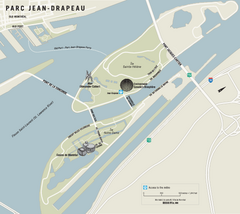
Parc Jean Drapeau Map
Park map of Parc Jean Drapeau in the St. Lawrence River, Montreal
268 miles away
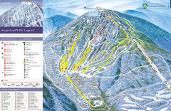
Sugarloaf Ski Trail Map
Trail map from Sugarloaf, which provides downhill, nordic, and terrain park skiing. It has 15 lifts...
273 miles away
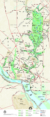
Rock Creek Park map
Map of Rock Creek Park and its immediate surroundings in Washington, DC
278 miles away
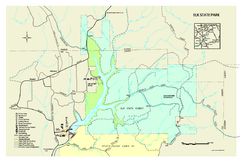
Elk State Park map
Detailed map of Elk State Park in Pennsylvania.
282 miles away
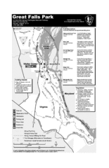
Great Falls Park Map
286 miles away
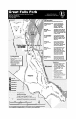
Great Falls Park Map
286 miles away
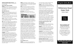
Wilderness Road State Park Map
Clearly marked state park map and legend.
287 miles away
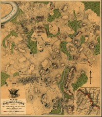
Antietam Battlefield Map
Map of the battlefield of Antietam/Sharpsburg. Shows Union and "Rebel" forces on...
287 miles away
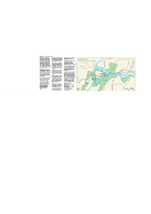
Harpers Ferry National Historical Park Official...
Official NPS map of Harpers Ferry National Historical Park in West Virginia-Maryland. Map shows all...
293 miles away

