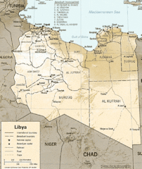
Lybia Map
Clear map and legend of this African Nation.
2513 miles away
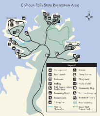
Calhoun Falls State Park Map
Clear map and detailed legend help make this map easy to read and follow.
2516 miles away
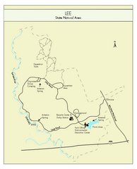
Lee State Park Map
Simple map of this state park.
2517 miles away
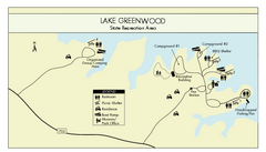
Lake Greenwood State Park Map
Clearly marked state park map on a beautiful waterfront.
2520 miles away
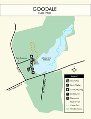
Goodale State Park Map
Easy to read state park map.
2524 miles away
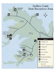
Sadlers Creek State Park Map
This simple map gives you an easy to follow layout of this amazing state park.
2540 miles away
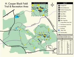
H. Cooper Black Field Map
Detailed map and legend of this state park.
2543 miles away
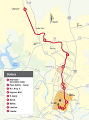
Austin MetroRail Map
CapMetro MetroRail map in Austin Texas, completed by 3/30/09.
2545 miles away
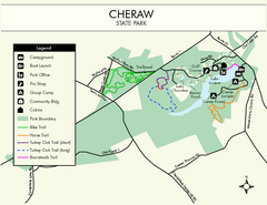
Cheraw State Park Map
Clear and descriptive state park map.
2547 miles away
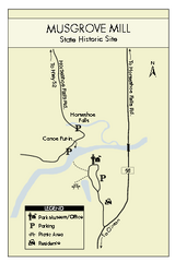
Musgrove Mill State Park Map
Clearly marked state park map.
2547 miles away
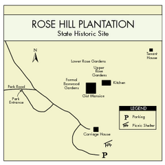
Rose Hill Plantation Map
Clear and simple state park map.
2548 miles away
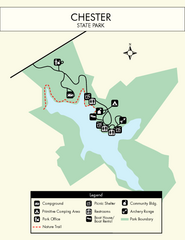
Chester State Park Map
Simple and clear state park map.
2552 miles away
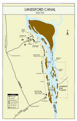
Landsford Canal State Park Map
Clear map with detailed legend marking this beautiful state park.
2558 miles away
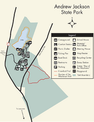
Andrew Jackson State Park Map
Clear and legible park map and legend.
2562 miles away
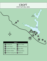
Croft State Park Map
Simple state park map.
2568 miles away
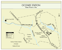
Oconee Station Map
Clear and simple map of Oconee State Park's station.
2570 miles away
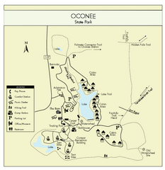
Oconee State Park Map
Beautiful state park clearly mapped with legend.
2572 miles away
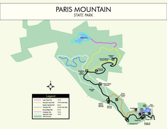
Paris Mountain State Park Map
Clearly labeled map of this beautiful state park.
2572 miles away
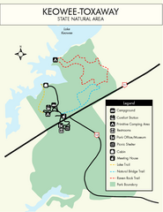
Keowee Toxaway State Park Map
Clear and detailed map of this wonderful state park.
2575 miles away
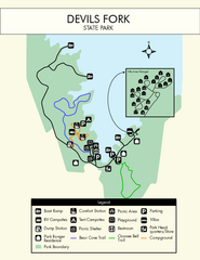
Devils Fork State Park Map
Clearly marked state park map.
2577 miles away
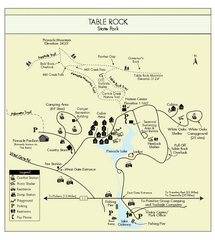
Table Rock State Park MAP
Clear and simple state park map and legend.
2581 miles away
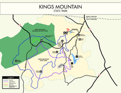
Kings Mountain State Park Map
Clearly marked state park map.
2583 miles away
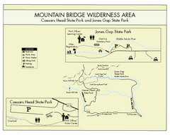
Mountain Bridge Wilderness Area Map
Map and legend marking bathrooms, picnic sites, trails and more.
2586 miles away
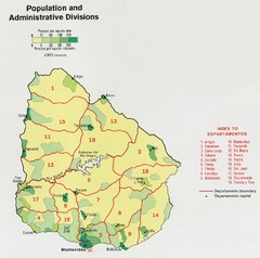
Uruguay Population Map
Uruguay's population by square mile is clearly marked on this map.
2618 miles away
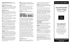
Occoneechee State Park Map
This map clearly marks rest stops, trails, campgrounds and more.
2686 miles away
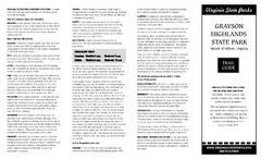
Grayson Highlands State Park Map
Clear and descriptive map of this beautiful state park.
2687 miles away
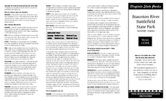
Staunton River Battlefield State Park Map
Clearly labeled state park map.
2691 miles away
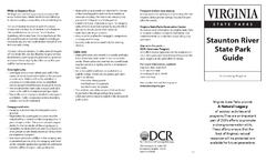
Staunton River State Park Map
Clear map marking trails, rest stops, facilities and more.
2691 miles away
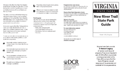
New River Trail State Park Map
Clear and detailed state park map.
2693 miles away
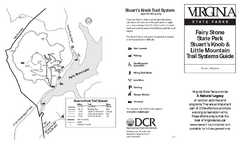
Fairy Stone State Park Map
Clearly marked state park map with trail system.
2696 miles away
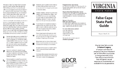
False Cape State Park Map
Clear state park map
2697 miles away
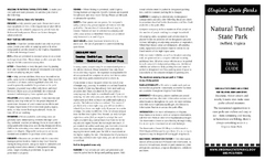
Natural Tunnel State Park Map
Detailed and informative state park map and legend.
2700 miles away
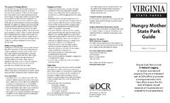
Hungry Mother State Park Map
Detailed map of this small state park.
2704 miles away
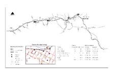
High Bridge Trail Map
Take a hike down this amazing Virginia trail.
2706 miles away
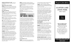
Claytor Lake State Park Map
Map of this beautiful state park.
2715 miles away
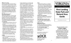
First Landing State Park Map
Clearly marked state park map with facilities and trails easily found.
2716 miles away
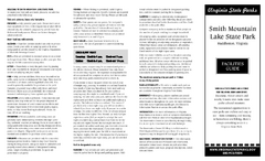
Smith Mountain Lake State Park Map
Hiking, horse back, fishing and more are all available at this amazing state park.
2717 miles away
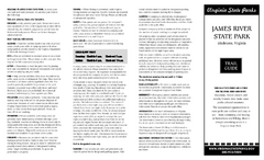
James River State Park Map
Detailed park map.
2724 miles away
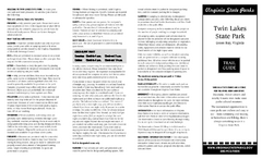
Twin Lakes State Park Map
Beautiful lakes and trails in the natural state park.
2724 miles away

