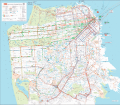
San Francisco Public Transportation map
Transit Muni system map shows all bus, subway metro, cable car, and streetcar routes.
6440 miles away
Near San Francisco
3384 × 2940•1.7 MB•GIF
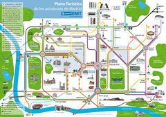
Madrid Bus Tourist Map
Tourist map of bus transit
6710 miles away
Near Madrid, Spain
1600 × 1128•515 KB•JPG
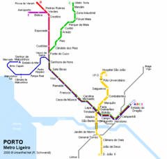
Porto Metro Ligeiro Map
Transit map of city's light rail system
6861 miles away
Near Porto, Portugal
623 × 592•14 KB•GIF
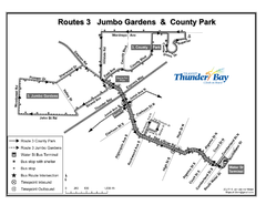
Thunder Bay Transit Map
I made this map after desperately trying to find out how to arrive at my daughters violin class...
7020 miles away
Near Thunder Bay
1650 × 1275•362 KB•PNG
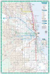
Chicago Transit Map
7455 miles away
Near Chicago, IL
1821 × 2700•1.1 MB•JPG
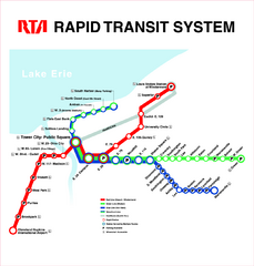
Cleveland Rapid Transit Map
7607 miles away
Near Cleveland, Ohio, USA
825 KB•PDF
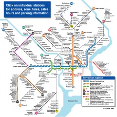
Philadelphia Rail System map
Official SEPTA map of the Philadelphia Rail System. Includes station addresses and fares, sales...
7822 miles away
Near Philadelphia, PA
864 × 864•547 KB•JPG
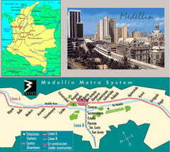
Medellin Metro Transit Map
Transportation map of metro throughout city of Medellin
9994 miles away
Near Medellin, Colombia
676 × 602•205 KB•JPG
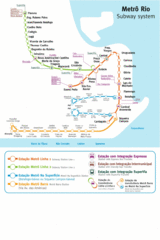
Metro Rio Map
Map of metro subway throughout Rio De Janeiro
11473 miles away
Near Rio De Janeiro, Brazil
1050 × 1571•211 KB•GIF
page 2 of 2

