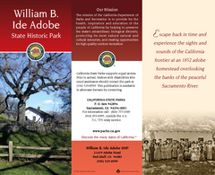
William B. Ide Adobe State Historic Park Map
Map of park with detail of trails and recreation zones
271 miles away
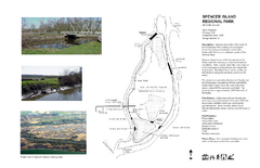
Spencer Island Park map
275 miles away
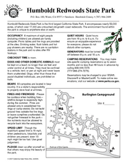
Humboldt Redwoods State Park Campground Map
Map of campground region park with detail of trails and recreation zones
293 miles away
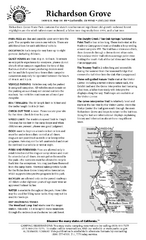
Richardson Grove State Park Campground Map
Map of campground region of park with detail of trails and recreation zones
293 miles away
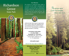
Richardson Grove State Park Map
Map of park with detail of trails and recreation zones
293 miles away
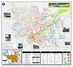
Chico Bike Map
Bicycle route map of Chico, California
299 miles away
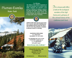
Plumas-Eureka State Park Map
Map of park with detail of trails and recreation zones
299 miles away
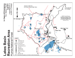
Lakes Basin Recreation Area Trail Map
Trail map of Lakes Basin Recreation Area in Plumas National Forest near Graeagle, California...
303 miles away
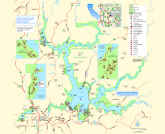
Lake Oroville State Recreation Area Map
Map of recreation area with detail of trails and recreation zones
306 miles away
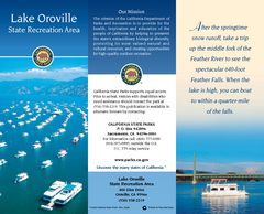
Lake Oroville State Recreation Area Map
Map of recreation area with detail of trails and recreation zones
306 miles away
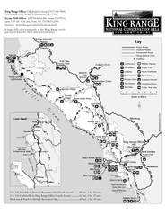
King Range National Conservation Area Trail Map
Trail map of the King Range National Conservation Area, home of the Lost Coast, California. Shows...
307 miles away
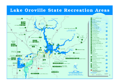
Lake Oroville State Recreation Area Map
Recreation overview map of Lake Oroville State Recreation Area near Oroville, California. Show all...
309 miles away
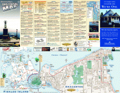
Fidalgo Island tourist map
Tourist map of Fidalgo Island in Anacortes, Washington. Shows recreation and points of interest.
310 miles away
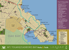
Mt. Tolmie & Cadboro Bay Map
Section of larger map, showing Seaside Touring Route and other regional and local cycling routes...
319 miles away
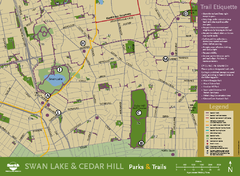
Swan Lake & Cedar Hill Area Map
Swan Lake & Cedar Hill Parks & Trails
320 miles away
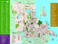
Full Map of Saanich Parks & Trails 2012
Full Map of Saanich Parks & Trails 2012
322 miles away
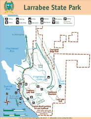
Larrabee State Park Map
Park map of Larrabee State Park, Washington.
323 miles away
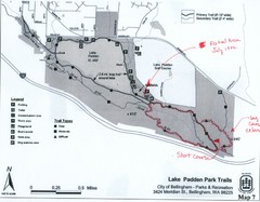
Lake Padden Park Trails Map
Course Elevation Map noted in handwriting on map. Festival location noted as well.
326 miles away
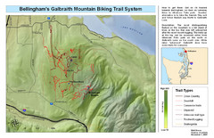
Bellingham Galbraith Mountain Biking Trail Map
Mountain biking trail map of Whatcom Falls Park near Bellingham, WA
327 miles away
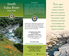
South Yuba River State Park Map
Map of park with detail of trails and recreation zones
330 miles away
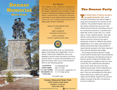
Donner Memorial State Park Map
Map of park with detail of trails and recreation zones
332 miles away
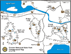
Donner Memorial State Park Campground Map
Map of park with detail of trails and recreation zones
332 miles away
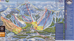
Sugar Bowl Ski Trail Map
Ski trail map of Sugar Bowl ski area from the 2008-09 season. Scanned.
333 miles away
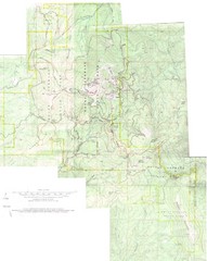
Mount Spokane Trail Map
Contour map of Mount Spokane
335 miles away
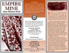
Empire Mine State Historic Park Map
Map of park with detail of trails and recreation zones
336 miles away
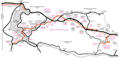
Trail of the Coeur d'Alenes Map
Shows the Trail of the Coeur d'Alenes, a 72 mile bike path that follows the Union Pacific...
337 miles away
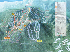
Northstar-at-Tahoe Ski Trail Map
Official trail map of Northstar-at-Tahoe ski area from the 2009-2010 season
338 miles away
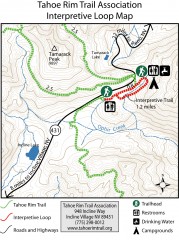
Tahoe Rim Trail: Interpretive Loop, Lake Tahoe...
Trail map of the Tahoe Rim Trail's Interpretive Loop Trail. Shows both trails, camping...
338 miles away
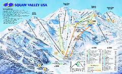
Squaw Valley USA Trail Map
Trail map of Squaw Valley ski area in Lake Tahoe, California
341 miles away
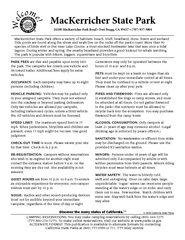
MacKerricher State Park Campground Map
Map of campground region of park with detail of trails and recreation zones
341 miles away
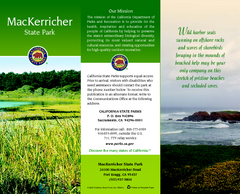
MacKerricher State Park Map
Map of park with detail of trails and recreation zones
341 miles away
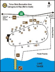
Tahoe State Recreation Area Campground Map
Map of park with detail of trails and recreation zones
343 miles away
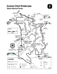
Granite Chief Wilderness Map
Trail map of Granite Chief Wilderness in Lake Tahoe region. Shows trails (inlcuding Pacific Crest...
343 miles away
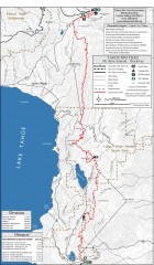
Tahoe Rim Trail: Tahoe Meadows to Spooner Summit...
Topographic hiking map of the Tahoe Meadows-Spooner Summit leg of the Tahoe Rim Trail. Shows bike...
345 miles away
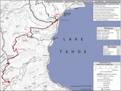
Tahoe Rim Trail: Barker Pass to Tahoe City Map
Topographic hiking map of the Barker Pass-Tahoe City leg of the Tahoe Rim Trail. Shows trailheads...
345 miles away
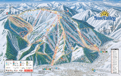
Sun Valley Ski Trail Map 2008
Ski trail map of Sun Valley ski area
346 miles away

