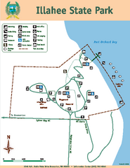
Illahee State Park Map
Map of park with detail of trails and recreation zones
157 miles away

Centennial Trail Map
157 miles away
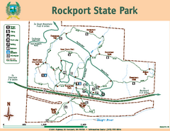
Rockport State Park Map
Map of park with detail of trails and recreation zones
157 miles away
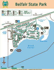
Belfair State Park Map
Map of park, with detail of trails and recreation zones
158 miles away
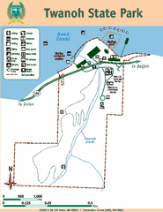
Twanoh State Park Map
Map of park with detail of trails and recreation zones
159 miles away
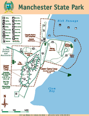
Manchester State Park Map
Map of park with detail of trails and recreation zones
159 miles away
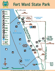
Fort Ward State Park Map
Map of park with detail of trails and recreation zones
160 miles away
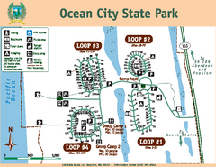
Ocean City State Park Map
Map of park with detail of trails and recreation zones
160 miles away
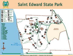
Saint Edward State Park Map
Map of park with detail of trails and recreation zones
161 miles away
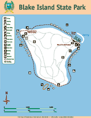
Blake Island State Park Map
Map of park with detail of trails and recreation zones
163 miles away
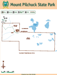
Mount Pilchuck State Park Map
Map of park with detail of trails and recreation zones
164 miles away
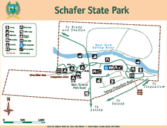
Schafer State Park Map
Map of park with detail of trails and recreation zones
165 miles away
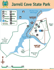
Jarrell Cove State Park Map
Map of park with detail of trails and recreation zones
166 miles away
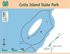
Cutts Island Stay Park Map
Map of park with detail of trails and recreation zones
169 miles away
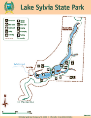
Lake Sylvia State Park Map
Map of island with detail of trails and recreation zones
169 miles away
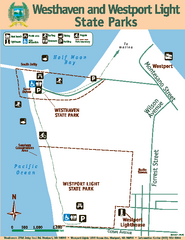
Westhaven/Westport Light State Parks Map
Map of park with detail of trails and recreation zones
170 miles away
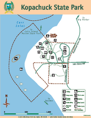
Kopachuck State Park Map
Map of island with detail of trails and recreation zones
170 miles away
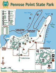
Penrose Point State Park Map
Map of park with detail of trails and recreation zones
171 miles away
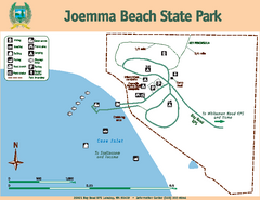
Joemma Beach State Park Map
Map of park with detail of trails and recreation zones
172 miles away
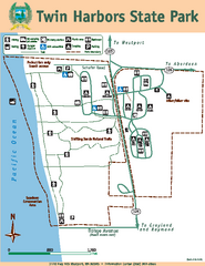
Twin Harbors State Park Map
Map of park with detail of trails and recreation zones
173 miles away
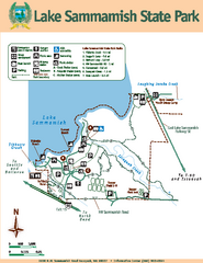
Lake Sammamish State Park Map
Map of island with detail of trails and recreation zones
176 miles away
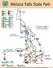
Wallace Falls State Park Map
Map of park with detail of trails and recreation zones
177 miles away
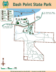
Dash Point State Park Map
Map of park with detail of trails and recreation zones
177 miles away
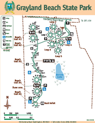
Grayland Beach State Park Map
Map of park with detail of trails and recreation zones
177 miles away
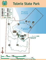
Tolmie State Park Map
Map of park with detail of trails and recreation zones
179 miles away
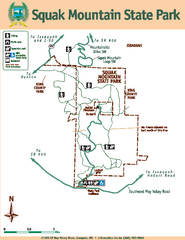
Squak Mountain State Park Map
Map of park with detail of trails and recreation zones
179 miles away
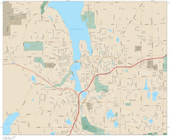
Olympia, Washington City Map
180 miles away
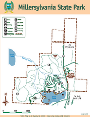
Millersylvania State Park Map
Map of park with detail of trails and recreation zones
188 miles away
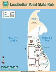
Leadbetter Point State Park Map
Map of park with detail of recreation zones and trails
190 miles away
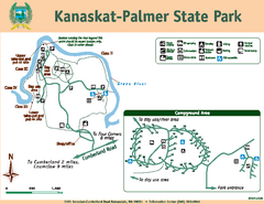
Kanaskat-Palmer State Park Map
Map of park with detail of trails and recreation zones
193 miles away
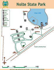
Nolte State Park Map
Map of park with detail of trails and recreation zones
194 miles away
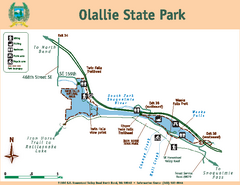
Olallie State Park Map
Map of park with detail of trails and recreation zones
195 miles away
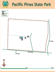
Pacific Pines State Park Map
Map of park with detail of trails and recreation zones
197 miles away
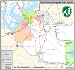
Pierce County Regional Trail Map
County-wide system of trails
199 miles away
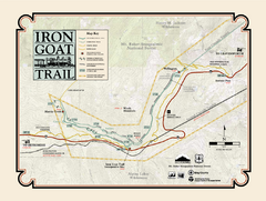
Iron Goat Trail Map
200 miles away
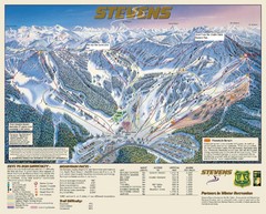
Stevens Pass Trail Map
203 miles away
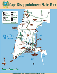
Cape Dissapointment State Park Map
Map of park with detail of trails and recreation zones
212 miles away
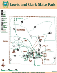
Lewis and Clark State Park Map
Map of park with detail of recreation zones and trails
214 miles away
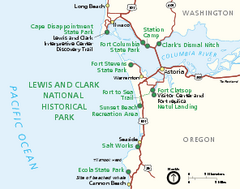
Lewis & Clark National Historic Trail...
Official NPS map of Lewis & Clark National Historic Trail in Oregon-Washington. Shows all areas...
214 miles away
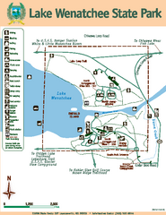
Lake Wenatchee State Park Map
Map of island with detail of trails and recreation zones
215 miles away

