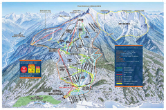
Revelstoke Ski Trail Map - Front side
Ski trail map of front side of Revelstoke ski area in Revelstoke, Canada from the 2008-2009 season.
464 miles away
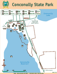
Conconully State Park Map
Map of park with detail of trails and recreation zones
469 miles away
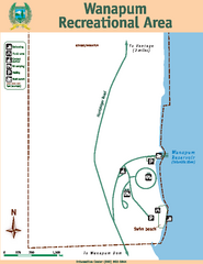
Wanapum Recreational Area Map
Map of park with detail of trails and recreation zones
474 miles away
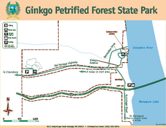
Ginkgo Petrified Forest State Park Map
Map of park with detail of trails and recreation zones
475 miles away
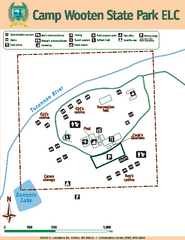
Camp Wooten State Park Map
Map of park with detail of trails and recreation zones
479 miles away
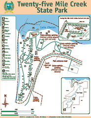
Twenty-Five Mile Creek State Park Map
Map of park with detail of trails and recreation zones
480 miles away
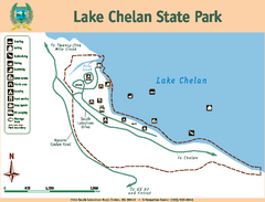
Lake Chelan State Park Map
Map of island with detail of trails and recreation zones
484 miles away
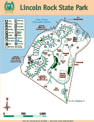
Lincoln Rock State Park Map
Map of park with detail of trails and recreation zones
487 miles away
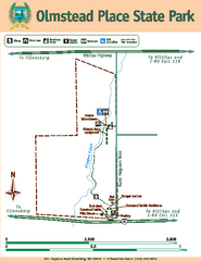
Olmstead Place State Park Map
Map of park with detail of trails and recreation zones
497 miles away
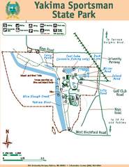
Yakima Sportsman State Park Map
Map of park with detail of trails and recreation zones
498 miles away
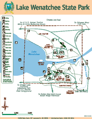
Lake Wenatchee State Park Map
Map of island with detail of trails and recreation zones
508 miles away
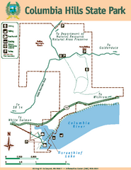
Columbia Hills State Park Map
Map of park with detail of trails and recreation zones
513 miles away
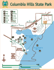
Columbia Hills State Park Map
Map of park with detail of trails and recreation zones
513 miles away
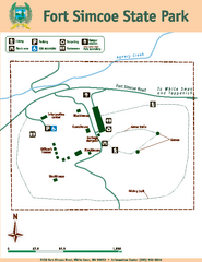
Fort Simcoe State Park Map
Map of park with detail of trails and recreation zones
519 miles away
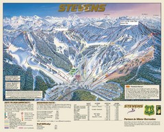
Stevens Pass Trail Map
525 miles away
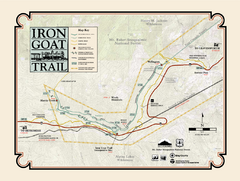
Iron Goat Trail Map
529 miles away
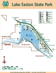
Lake Easton State Park Map
Map of island with detail of trails and recreation zones
530 miles away
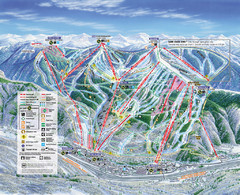
Vail Map
Map of Vail with ski locations and lifts included
536 miles away
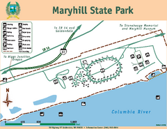
Maryhill State Park Map
Map of park with detail of trails and recreation zones
539 miles away
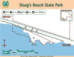
Dougs Beach State Park Map
Map of park with detail of trails and recreation zones
541 miles away
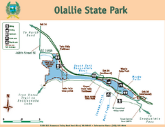
Olallie State Park Map
Map of park with detail of trails and recreation zones
551 miles away
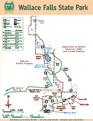
Wallace Falls State Park Map
Map of park with detail of trails and recreation zones
551 miles away
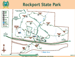
Rockport State Park Map
Map of park with detail of trails and recreation zones
553 miles away
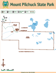
Mount Pilchuck State Park Map
Map of park with detail of trails and recreation zones
559 miles away
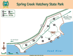
Spring Creek Hatchery State Park map
Map of park with detail of trails and recreation zones
561 miles away
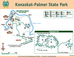
Kanaskat-Palmer State Park Map
Map of park with detail of trails and recreation zones
563 miles away
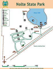
Nolte State Park Map
Map of park with detail of trails and recreation zones
565 miles away
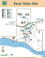
Rasar State Park Map
Map of park with detail of trails and recreation zones
566 miles away

Centennial Trail Map
569 miles away
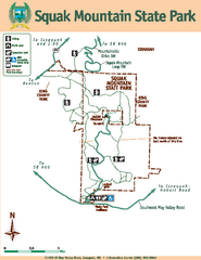
Squak Mountain State Park Map
Map of park with detail of trails and recreation zones
569 miles away
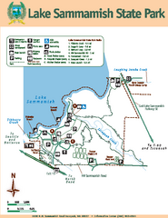
Lake Sammamish State Park Map
Map of island with detail of trails and recreation zones
570 miles away

Centennial Trail Map
Centennial Trail has 23 miles completed (Snohomish to Bryant) with more in progress.
570 miles away
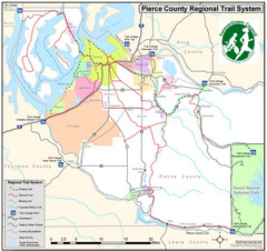
Pierce County Regional Trail Map
County-wide system of trails
574 miles away
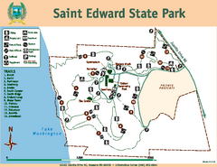
Saint Edward State Park Map
Map of park with detail of trails and recreation zones
579 miles away
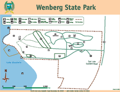
Wenberg State Park Map
Map of park with detail of trails and recreation zones
581 miles away
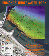
Edmonds Underwater Park Map
Map of underwater park for divers
585 miles away
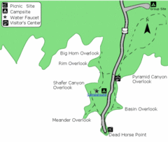
Dead Horse Point State Park Map
Stroll along the Rim Walk, towering 2,000 feet directly above the Colorado River. The mesa that is...
585 miles away
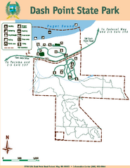
Dash Point State Park Map
Map of park with detail of trails and recreation zones
587 miles away
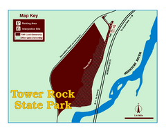
Tower Rock State Park Map
Tower Rock State Park is one of Montana's newest state parks. The 400-foot high igneous rock...
587 miles away
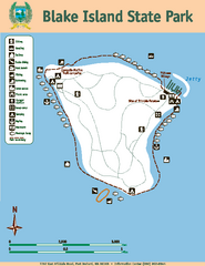
Blake Island State Park Map
Map of park with detail of trails and recreation zones
590 miles away

