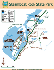
Steamboat Rock State Park Map
Map of park with detail of trails and recreation zones
504 miles away
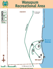
Wanapum Recreational Area Map
Map of park with detail of trails and recreation zones
508 miles away
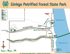
Ginkgo Petrified Forest State Park Map
Map of park with detail of trails and recreation zones
510 miles away

City of Trail BC Map
Map of city of Trail, BC on the Columbia River
510 miles away
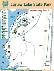
Curlew Lake State Park Map
Map of park with detail of trails and recreation zones
517 miles away
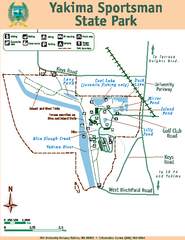
Yakima Sportsman State Park Map
Map of park with detail of trails and recreation zones
520 miles away
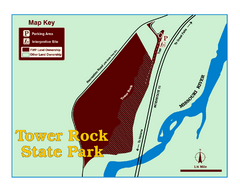
Tower Rock State Park Map
Tower Rock State Park is one of Montana's newest state parks. The 400-foot high igneous rock...
529 miles away
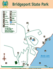
Bridgeport State Park Map
Map of park with detail of trails and recreation zones
529 miles away
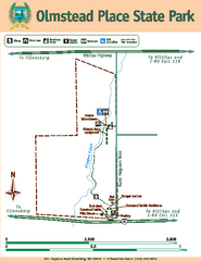
Olmstead Place State Park Map
Map of park with detail of trails and recreation zones
530 miles away
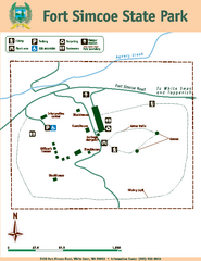
Fort Simcoe State Park Map
Map of park with detail of trails and recreation zones
531 miles away
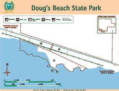
Dougs Beach State Park Map
Map of park with detail of trails and recreation zones
532 miles away
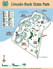
Lincoln Rock State Park Map
Map of park with detail of trails and recreation zones
537 miles away
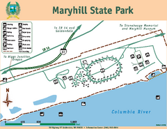
Maryhill State Park Map
Map of park with detail of trails and recreation zones
541 miles away
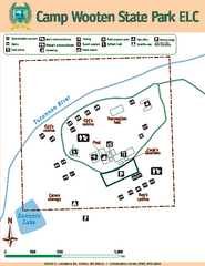
Camp Wooten State Park Map
Map of park with detail of trails and recreation zones
542 miles away
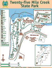
Twenty-Five Mile Creek State Park Map
Map of park with detail of trails and recreation zones
542 miles away
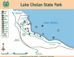
Lake Chelan State Park Map
Map of island with detail of trails and recreation zones
547 miles away
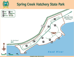
Spring Creek Hatchery State Park map
Map of park with detail of trails and recreation zones
553 miles away
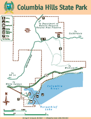
Columbia Hills State Park Map
Map of park with detail of trails and recreation zones
554 miles away
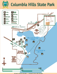
Columbia Hills State Park Map
Map of park with detail of trails and recreation zones
555 miles away
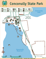
Conconully State Park Map
Map of park with detail of trails and recreation zones
555 miles away
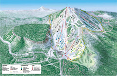
Hoodoo Mountain Ski Trail Map
Ski trail map of Hoodoo Mountain ski area.
557 miles away

Bodie State Park NE Map
Map of park with detail of trails and recreation zones
564 miles away

Bodie State Park NW Map
Map of park with detail of trails and recreation zones
565 miles away
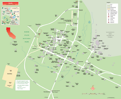
Bodie State Park Map
Map of park with detail of trails and recreation zones
565 miles away

Bodie State Park SE Map
Map of park with detail of trails and recreation zones
565 miles away
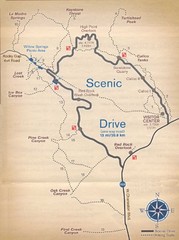
Red Rock Canyon Trail Map
Hiking trail map
565 miles away

Bodie State Park SW Map
Map of park with detail of trails and recreation zones
565 miles away
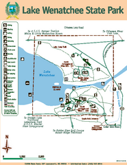
Lake Wenatchee State Park Map
Map of island with detail of trails and recreation zones
566 miles away
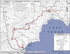
Tahoe Rim Trail: Tahoe City to Brockway Summit Map
Topographic hiking map of the Tahoe City-Brockway Summit leg of the Tahoe Rim Trail. Shows trail...
567 miles away
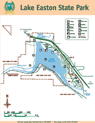
Lake Easton State Park Map
Map of island with detail of trails and recreation zones
569 miles away
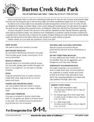
Burton Creek State Park Map
Map of park with detail of trails and recreation zones
571 miles away
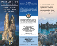
Mono Lake Tufa State Natural Reserve Map
Map of reserve with detail of trails and recreation zones
575 miles away

D.L. Bliss State Park Map
Map of park with detail of trails and recreation zones
576 miles away
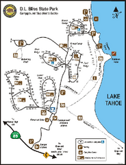
D.L. Bliss State Park Campground Map
Map of park with detail of trails and recreation zones
576 miles away
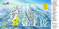
Norquay Map
Ski trail map
578 miles away
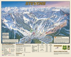
Stevens Pass Trail Map
579 miles away
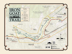
Iron Goat Trail Map
582 miles away
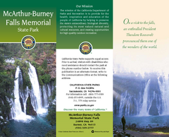
McArthur-Burney Falls Memorial State Park Map
Map of park with detail of trails and recreation zones
583 miles away
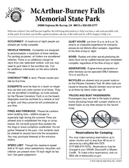
McArthur-Burney Falls Memorial State Park...
Map of park with detail of trails and recreation zones
583 miles away
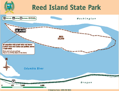
Reed Island State Park Map
Map of park with detail of trails and recreation zones
587 miles away

