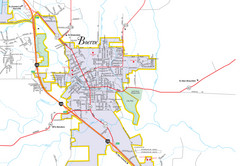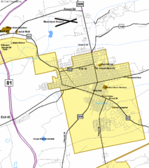
Hazelton Street Map
Clear and descriptive road map.
1057 miles away
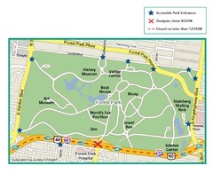
Forest Park, St. Louis Map
1058 miles away
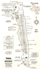
South Padre Island Map
Tourist map of South Padre Island
1067 miles away
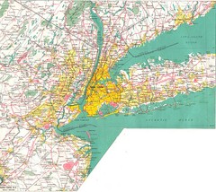
New York City Map
1075 miles away
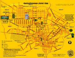
Quetzaltenango City Map
Large and detailed map.
1075 miles away
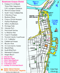
Downtown Corpus Christi Map
Tourist map of downtown Corpus Christi, with detail of local attractions
1080 miles away
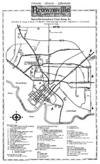
Brownsville Tourist Map
Tourist map of Brownsville with detail of local attractions
1089 miles away
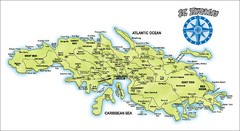
St. Thomas Island Map
Overview road map of island of St. Thomas in the U.S. Virgin Islands. Shows major roads, districts...
1099 miles away
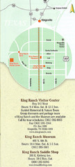
Kingsville Map
Map of Kingsville, with detail of main city-sites
1108 miles away
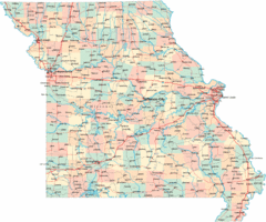
Missouri Map
Map of Missouri, including main roads and towns
1111 miles away
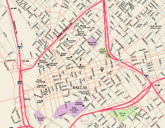
Downtown Dallas Map
Street map of downtown Dallas
1114 miles away
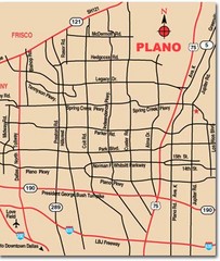
Plano City Map
Map of main roads and highways in Plano
1119 miles away
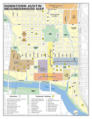
Downtown Austin District Map
Street map of downtown Austin with detail of districts
1121 miles away
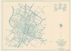
Austin Area Highway Map 1940
General Highway Map. Detail of Cities and Towns in Travis County, Texas [Austin] / 1940
1122 miles away
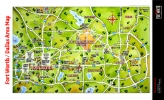
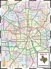
Dallas Fort Worth Area Map
Tourist map of Dallas/Fort Worth area
1129 miles away
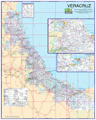
Veracruz Road Map
Detailed road map of the state of Veracruz. Inset of Veracruz city surroundings. In Spanish.
1134 miles away
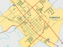
Floresville City Map
Street map of Floresville
1134 miles away
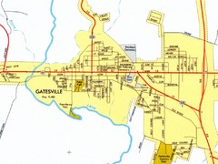
Gatesville City Map
Street map of Gatesville
1138 miles away
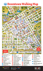
Downtown Fort Worth Map
Tourist map of downtown Fort Worth
1142 miles away
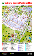
Fort Worth Cultural District Map
Tourist map of cultural district of Fort Worth
1144 miles away
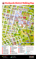
Fort Worth Stockyards District Map
Tourist map of Stockyards district
1144 miles away
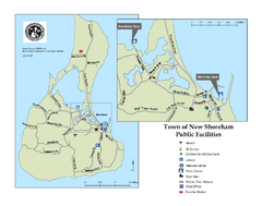
Block Island Road Map
Shows roads and major facilities on Block Island, RI (New Shoreham)
1153 miles away
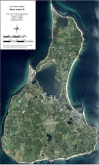
Block Island Aerial Map
Aerial map of Block Island, RI (New Shoreham, RI). True color orthophotography from August 2006.
1153 miles away

Downtown San Antonio Map
Tourist street map of downtown San Antonio
1156 miles away
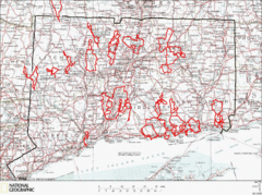
Connecticut Road Cycling Routes Map
A map of road cycling routes throughout Connecticut. Follow the link below for detailed route maps...
1159 miles away
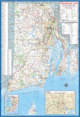
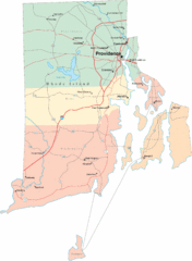
Rhode Island Road Map
Official Rhode Island state highway map. Insets show Newport and Providence.
1185 miles away
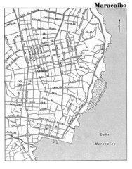
Maracaibo Street Map
1196 miles away
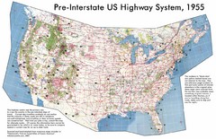
Pre-Interstate US Highway System Map
United States route and highway system pre-interstates, 1955
1199 miles away
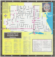
Cleveland Street Map
1204 miles away
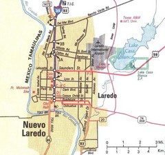
Downtown Laredo Map
Map of main roads in downtown Laredo
1208 miles away
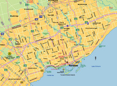
Toronto City Map
Street map of Toronto city
1220 miles away
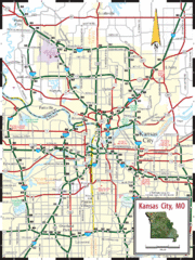
Kansas City Map
Map of main roads/highways in Kansas City area
1241 miles away

