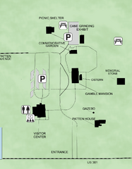
Gamble Plantation Historic State Park Map
Map of park with detail of recreation zones
153 miles away
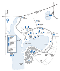
Seminole State Park Map
Map of park with detail of trails and recreation zones
163 miles away
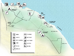
Three Rivers State Park Map
Map of park with detail of recreation zones
163 miles away
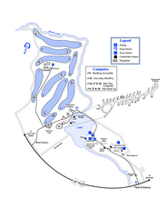
Gordonia-Alatamaha State Park Map
Map of park with detail of trails and recreation zones
164 miles away
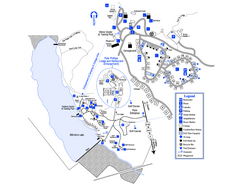
Little Ocmulgee State Park Map
Map of park with detail of trails and recreation zones
165 miles away

Fort McAllister Historic Park Map
Map of park with detail of trails and recreation zones
166 miles away
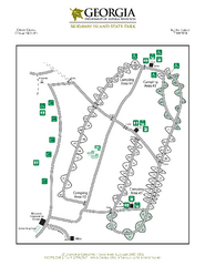
Skidaway Island State Park Map
Map of park with detail of trails and recreation zones
175 miles away
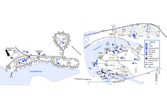
Georgia Veterans State Park Map
Map of park with detail of trails and recreation zones
176 miles away
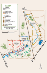
Oscar Scherer State Park Trail Map
Map of park with detail of hiking trails throughout
177 miles away
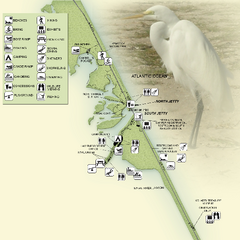
Sebastian Inlet State Park Map
Map of park with detail of trails and recreation zones
178 miles away
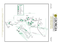
Kolomoki Mounds State Park Map
Map of park with detail of trails and recreation zones
190 miles away
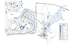
George L. Smith State Park Map
Map of park with detail of trails and recreation zones
196 miles away
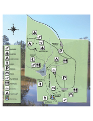
Falling Waters State Recreation Area Map
Map of park with detail of trails and recreation zones
196 miles away
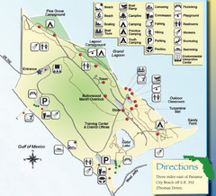
St. Andrews State Park Map
Overview map of St. Andrews State Park, #2 beach in America by TripAdvisor.com, 2008
199 miles away
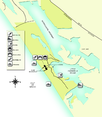
Don Pedro Island State Park Map
Map of park with detail of trails and recreation zones
200 miles away
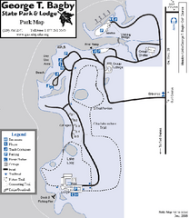
George T. Bagby State Park Map
Map of park with detail of trails and recreation zones
206 miles away
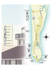
Gasparilla Island State Park Map
Map of park with detail of trails and recreation zones
208 miles away
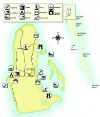
Cayo Costa State Park Map
Map of park with detail of trails and recreation zones
212 miles away
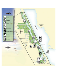
Savannas Preserve State Park Map
Map of park with detail of trails and recreation zones
212 miles away
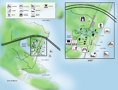
Camp Helen State Park Map
Map of park with detail of various recreation zones
215 miles away
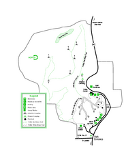
Providence Canyon State Park Map
Map of park with detail of trails and recreation zones
218 miles away
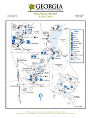
Magnolia Springs State Park Map
Map of park with detail of trails and recreation zones
220 miles away
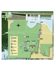
Eden Gardens State Park Map
Map of park with detail of gardens
224 miles away
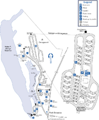
Florence Marina State Park Map
Map of park with detail of trails and recreation zones
224 miles away
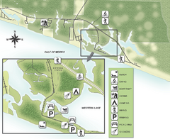
Grayton Beach State Park Map
Map of park with detail of trails and recreation zones
226 miles away
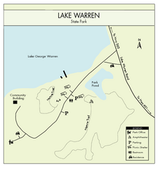
Lake Warren State Park Map
Clearly marked state park map.
227 miles away
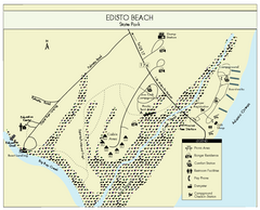
Edisto Beach State Park Map
Clearly labeled map of this beautiful state park.
230 miles away
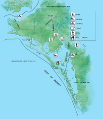
Estero Bay Preserve State Park Map
Map of park with detail of trails and recreation zones
231 miles away
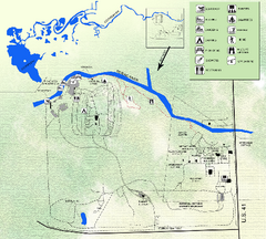
Koreshan State Historic Site Map
Map of park with detail of trails and recreation zones
232 miles away
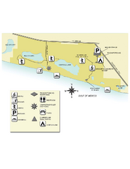
Topsail Hill Preserve State Park Map
Map of park with detail of recreation zones
235 miles away
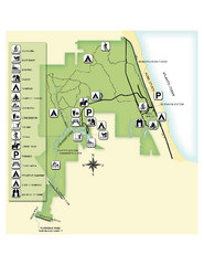
Jonathan Dickinson State Park Map
Map of park with detail of trails and recreation zones
235 miles away
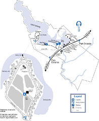
Hamburg State Park Map
Map of park with detail of trails and recreation zones
241 miles away
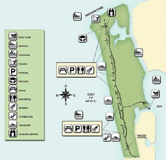
Delnor-Wiggings Pass State Park Map
Map of park with detail of trails and recreation zones
242 miles away
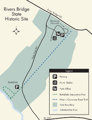
Rivers Bridge State Park Map
Nice and clear map of this history state park.
243 miles away
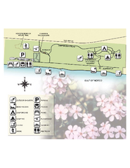
Henderson State Park Map
Map of park with detail of trails and recreation zones
243 miles away
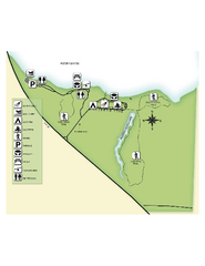
Fred Gannon Rocky Bayou State Park Map
Map of park with detail of trails and recreation zones
244 miles away
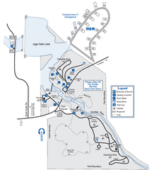
High Falls State Park Map
Map of park with detail of trails and recreation zones
255 miles away
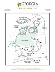
F.D. Roosevelt State Park Map
Map of park with detail of trails and recreation zones
255 miles away
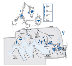
Indian Springs State Park Map
Map of park with detail of trails and recreation zones
258 miles away
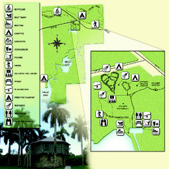
Collier-Seminole State Park Map
Map of park with detail of trails and recreation zones
265 miles away

