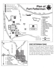
Fort Fetterman State Historic Site Map
Fort Fetterman, located approximately 11 miles northwest of Douglas. The fort was established as a...
484 miles away
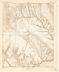
Topo Map of Escalante Quadrant, UT circa 1886
One of four USGS maps detailing the area around Capitol Reef National Park and Glen Canyon circa...
494 miles away
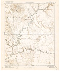
Henry Mtns Topo Map, circa 1892
One of a set of four maps circa 1890s by USGS depicting the area around the Henry Mtns and Capitol...
497 miles away
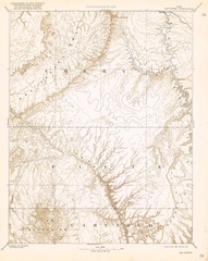
Topo Map of San Rafael Quadrant circa 1885
This is one of four USGS maps from the 1880's and 90's depicting the area around the...
497 miles away
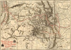
Denver and Rio Grande and Rio Grande Western...
Shows the Denver & Rio Grande and Rio Grande Western railroad system map circa 1904
500 miles away
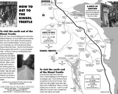
Kinsol Trestle Map
Map of the Kinsol Trestle
508 miles away
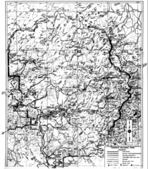
1931 Yosemite National Park Map
Yosemite National Park Map with trails and elevations
513 miles away
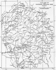
1914 Yosemite National Park Map
514 miles away
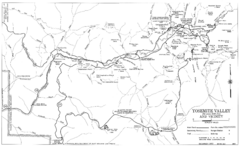
Yosemite Valley Automobile Guide Map 1963
Yosemite Valley and Vicinity with Elevations
517 miles away
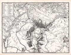
Yosemite National Park Map
Map of Yosemite National Park, 1948
520 miles away
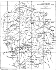
Yosemite Park Map (before development)
Map of Yosemite Park before valley development, showing only Portal Road
520 miles away
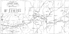
Yosemite Valley Map
Map of the valley and key elevations
523 miles away
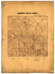
Murphy Peak Area Survey Map
Topographic geology map of Murphy Peak area, California. L.S.J.U. Geological Survey, 1911...
523 miles away
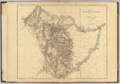
Black Hills Map
550 miles away
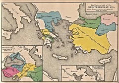
Historical Map of Mediterranean Sea B.C. 1884
"The Eastern half of the Mediterranean Sea during the two centuries preceeding the birth of...
566 miles away
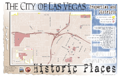
Las Vegas Historical Landmarks Map
571 miles away
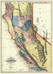
1851 California Regional Map
Great quality map of Californian regions in 1851.
580 miles away
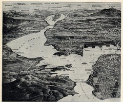
1936 San Francisco Bay Area Map Part 1
Guide to the San Francisco Bay Area in 1936, hand drawing over photograph
585 miles away
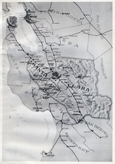
1895 San Francisco Bay Area Map
Guide to the San Francisco Bay Area in 1895
594 miles away
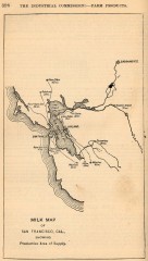
Antique map of San Francisco from 1901
"Milk Map of San Franciso, Cal., Showing Productive Area of Supply." From Report of the...
599 miles away
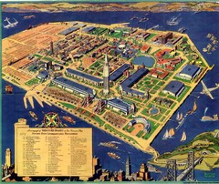
Golden Gate International Expo Cartograph 1939 Map
Bird's eye view of the Golden Gate International Expo in 1939 at Treasure Island in the San...
599 miles away

Farwell’s Map of Chinatown in San Francisco...
This map of vice in San Francisco's Chinatown in 1885. A fascinating historical document, as...
602 miles away
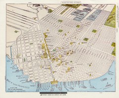
1896 San Francisco Perspective Map
Guide to historic San Francisco, in hand drawn perspective
602 miles away
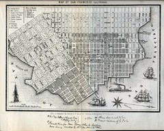
1852 San Francisco Map
Guide to San Francisco, prior to 1852
602 miles away
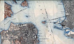
San Francisco Map 1915
602 miles away
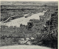
1936 San Francisco Bay Area Map Part 2
Guide to the San Francisco Bay Area, hand drawn over photograph
603 miles away
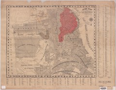
1907 San Francisco Earthquake Map
Map of areas destroyed by fire after 1906 earthquake
604 miles away
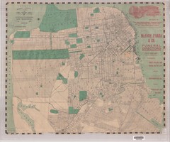
1905 San Francisco Street Map
Pre earthquake map of San Francisco, with several types of street cars and turnaround locations
604 miles away
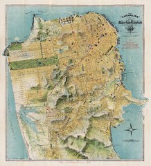
Chevalier map of San Francisco (1912)
Breathtaking map of San Francisco in 1912 by August Chevalier from the BIG Map Blog by way of DRMC.
606 miles away
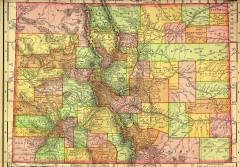
Colorado State map 1895
Map of the state of Colorado, 1895. Shows counties and major topography.
612 miles away
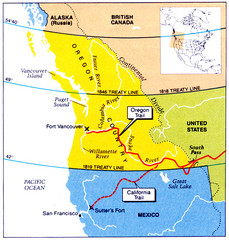
Oregon Treaty Historical map
633 miles away
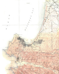
Monterey Map
652 miles away
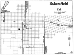
Bakersfield California, 1917 Map
663 miles away
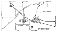
Bakersfield, 1934 Map
Official California State Division of Highways Map
663 miles away
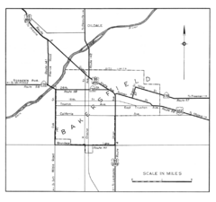
Bakersfield, 1944 Map
Official California State Division of Highways Map
663 miles away
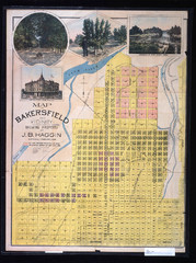
Bakersfield California 1889 Map
Map of Bakersfield, CA, showing the first subdivision of lands belonging to J. B. Haggin, 1889
663 miles away
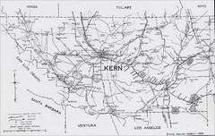
Kern County, 1916 Map
Kern County, 1916 Map, from California Mineral Production for 1919 (with County Maps), Bulletin No...
663 miles away
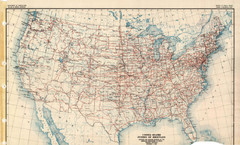
Highway Plan 1926 Map
667 miles away
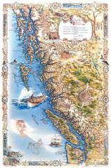
Pacific Northwest Inside Passage Map
Amazing Pacific Northwest Inside Passage Legendary map.
704 miles away
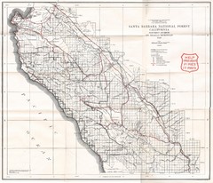
Santa Barbara National Forest 1924 Map
Los Padres National Forest Map. Prior to 1936 it was known as the Santa Barbara National Forest.
712 miles away

