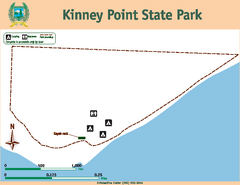
Kinney Point State Park Map
Map of island with detail of trails and recreation zones
106 miles away
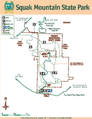
Squak Mountain State Park Map
Map of park with detail of trails and recreation zones
107 miles away
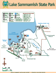
Lake Sammamish State Park Map
Map of island with detail of trails and recreation zones
108 miles away
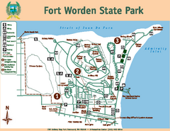
Fort Worden State Park Map
Map of park with detail of trails and recreation zones
109 miles away
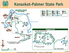
Kanaskat-Palmer State Park Map
Map of park with detail of trails and recreation zones
109 miles away
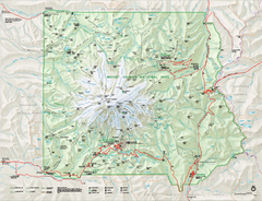
Mount Rainier National Park map
Official NPS map of Mt. Rainier National Park. Shows the entire park and surroundings
113 miles away
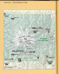
Mount Rainier National Park Map
Guide to the Mount Rainier National Park
113 miles away
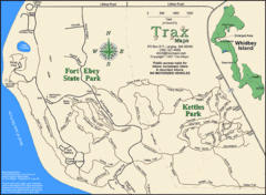
Ft Ebey/Kettle Park Trail Map
Trail map of Fort Ebey Park and Kettle Park, Washington
114 miles away
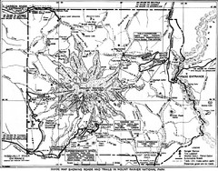
1928 Mount Rainier National Park Map
Guide to Mount Rainier National Park in 1938
114 miles away
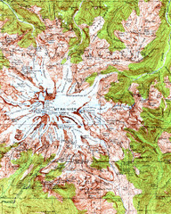
Mount Rainier Topographic Map
Guide to topography and glaciers of Mount Rainier
115 miles away
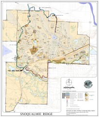
Snoqualmie Trail Map
Shows both soft surface and paved trails for biking, running/hiking/wailking, and horseback riding
117 miles away
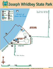
Joseph Whidbey State Park Map
Map of park with detail of trails and recreation zones
120 miles away
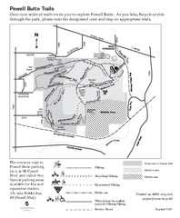
Powell Butte Nature Park Trail Map
Trail map of Powell Butte Nature Park. Shows over 9 miles of trails
122 miles away
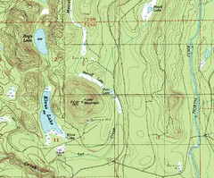
Fuller Mountain Topo Map
Fuller Mountain map with lakes, mountains and elevations identified.
122 miles away
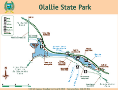
Olallie State Park Map
Map of park with detail of trails and recreation zones
122 miles away
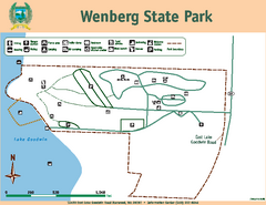
Wenberg State Park Map
Map of park with detail of trails and recreation zones
123 miles away
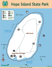
Hope Island State Park Map
Map of park with detail of trails and recreation zones
129 miles away
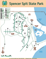
Spencer Spit State Park Map
Map of park with detail of trails and recreation zones
130 miles away
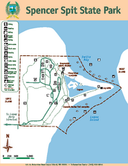
Spencer Spit State Park Map
Map of park with detail of trails and recreation zones
130 miles away
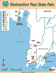
Obstruction Pass State Park Map
Map of park with detail of trails and recreation zones
135 miles away
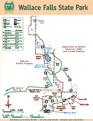
Wallace Falls State Park Map
Map of park with detail of trails and recreation zones
135 miles away
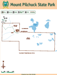
Mount Pilchuck State Park Map
Map of park with detail of trails and recreation zones
136 miles away
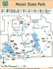
Moran State Park Map
Map of park with detail of trails and recreation zones
139 miles away
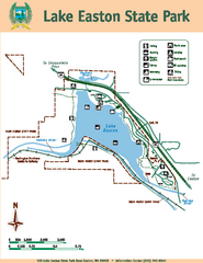
Lake Easton State Park Map
Map of island with detail of trails and recreation zones
140 miles away
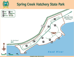
Spring Creek Hatchery State Park map
Map of park with detail of trails and recreation zones
145 miles away
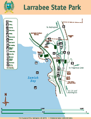
Larrabee State Park Map
Map of island with detail of trails and recreation zones
146 miles away
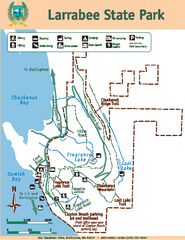
Larrabee State Park Map
Map of island with detail of trails and recreation zones
146 miles away
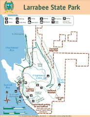
Larrabee State Park Map
Park map of Larrabee State Park, Washington.
146 miles away
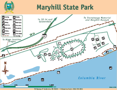
Maryhill State Park Map
Map of park with detail of trails and recreation zones
151 miles away
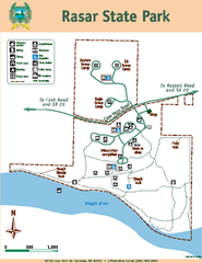
Rasar State Park Map
Map of park with detail of trails and recreation zones
154 miles away
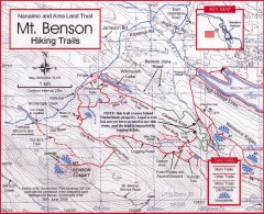
Mt. Benson Hiking Trail Map
Show hiking trails in the Nanaimo and Area Land Trust containing Mt. Benson. Also shows roads and...
159 miles away
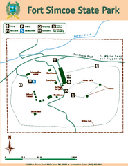
Fort Simcoe State Park Map
Map of park with detail of trails and recreation zones
160 miles away
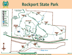
Rockport State Park Map
Map of park with detail of trails and recreation zones
162 miles away
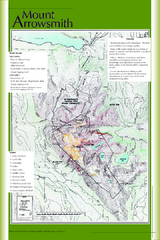
Mount Arrowsmith Climbing Route Map
Climbing routes on Mount Arrowsmith, Vancouver Island
166 miles away
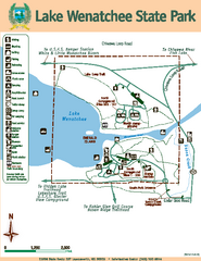
Lake Wenatchee State Park Map
Map of island with detail of trails and recreation zones
172 miles away
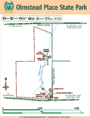
Olmstead Place State Park Map
Map of park with detail of trails and recreation zones
172 miles away
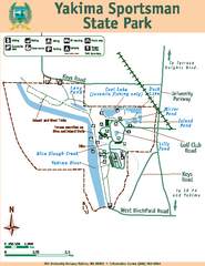
Yakima Sportsman State Park Map
Map of park with detail of trails and recreation zones
174 miles away
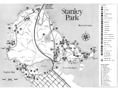
Stanley Park Trail Map
Trail map of Stanley Park near downtown Vancouver, BC. Shows monuments.
175 miles away
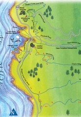
Cape Perpetua Map
178 miles away

