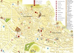
Matera Tourist Map
Tourist map of Matera, Italy. Shows points of interest.
543 miles away
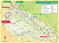
Transcarpathia Hiking Trail Map
Map of the Transcarpathia Hiking Trail (THT) in Ukraine. Trail runs through the territory of...
635 miles away
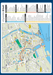
Hull City Centre Map
Tourist map of city of Hull. Shows points of interest including shopping, attractions, places...
656 miles away
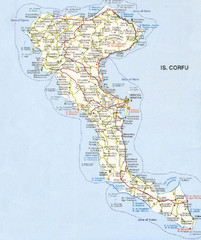
Corfu Guide Map
710 miles away
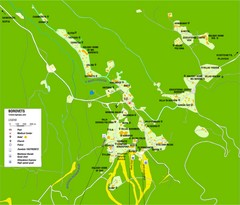
Borovets Map
Map of Borovets ski resort in Bulgaria.
719 miles away
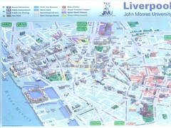
John Moores University Map
Campus map of John Moores University, Liverpool, UK
727 miles away
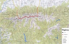
Bagaras Mountains Hiking Trail Map
Bagaras Mountain walking trails, Romania.
727 miles away
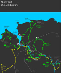
Cardigan Walks Map
Trail map of 6 circular walks in the Cardigan area ranging between four and a half and six and a...
746 miles away
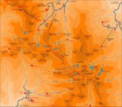
Pirin Mountains Chalet Map
Map of Pirin Mountains in Pirin National Park, near Bansko, Bulgaria. Shows peaks and mountain...
759 miles away
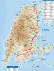
Lefkada Tourist Map
Tourist map of Ionian island of Lefkada, Greece. Shows points of interest. Also shows island of...
783 miles away
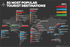
50 Most Popular Tourist Destinations Map
Shows the 50 most popular tourist destinations in the world. Each destination shows number of...
827 miles away
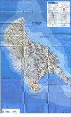
Zakynthos Island Map
Detailed map of Zakynthos Island. Scanned
837 miles away

Scotland Rail Map
Guide to rail and ferries in Scotland
905 miles away
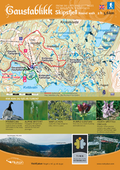
Skipsfjellet Hiking Map
Hiking trail map of Skipsfjell, Norway near Rjukan, Norway. Shows moderate 2 hour loop hike and...
906 miles away
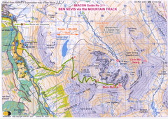
Ben Nevis Trail map
Map of the mountain track to the summit of Ben Nevis, the highest mountain in Scotland and the...
934 miles away
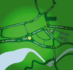
Clifden Overview Map
Simple street map of center of Clifden, Ireland
989 miles away
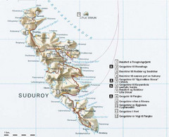
Suðuroy Tourist Map
Tourist map of Suduroy, Faroe Islands.
1214 miles away
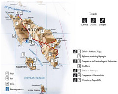
Sandoy Island Tourist Map
Tourist map of Sandoy, Faroe Islands. Shows ferry and bus stops and 7 hikes rated by difficulty
1227 miles away
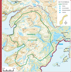
Anderdalen National Park Map
Topo map of Anderdalen National Park on Berg Senja, Norway
1572 miles away
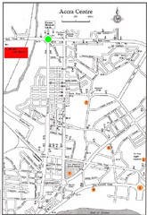
Accra Ghana Map
City center map of Accra, Ghana with tourist attractions identified on the map with street level...
2909 miles away
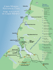
Gros Morne National Park Map
Shows campgrounds and trails in Gros Morne National Park, Newfoundland, Canada. In French and...
3016 miles away
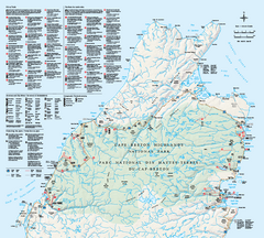
Cape Breton Highlands National Park Map
Official Parks Canada map of Cape Breton Highlands National Park, Nova Scotia. Shows hiking trails...
3209 miles away
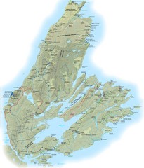
Cape Breton Island Trail Map
Trail map of Cape Breton Island
3235 miles away
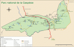
Gaspesie National Park Map - Summer
Official SEPAQ map of Gaspesie National Park in the Gaspe Peninsula, Quebec. Show trails, huts...
3379 miles away
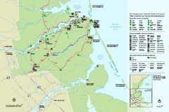
Kouchibouguac National Park Map
Official park map of Kouchibouguac National Park, New Brunswick. Shows hiking trails, services...
3398 miles away
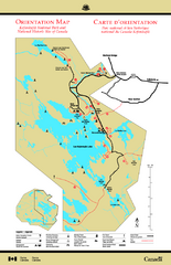
Kejimkujik National Park Map
Official Parks Canada map of Kejimkujik National Park, Nova Scotia. Shows lakes, trails, campsites...
3493 miles away
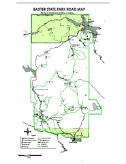
Baxter State Park overview map
Overview map of Baxter State Park. There are 46 mountain peaks and ridges, 18 of which exceed an...
3588 miles away
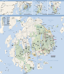
Acadia National Park Map
Official map of Acadia National Park, Maine. "Except for one mainland section, Acadia...
3624 miles away
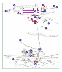
Thuya Garden Map
1. Parking 2. Asticou Terraces Landing 3. Joseph H. Curtis Memorial 4. Stone Lookout 5. Second...
3625 miles away
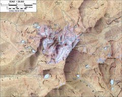
Mt. Kenya Topo Map
Topographical map of Mt. Kenya, the second highest mountain in Africa at 17058 ft
3649 miles away
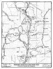
Franconia Notch Hiking Map
Map of hiking trails around Fanconia Notch State Park New Hampshire.
3772 miles away

Phillips Exeter Academy Campus Map
Phillips Exeter Academy Campus Map
3786 miles away
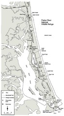
Parker River Map
Map of Parker River National Wildlife Refuge for birdlife
3788 miles away
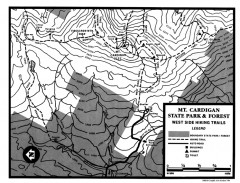
Cardigan State Park map
Topographical map of West Side hiking trails in Cardigan State Park in New Hampshire.
3801 miles away
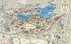
St. Paul's School Campus Map
Campus map of St. Paul's School
3804 miles away
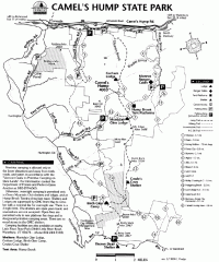
Camel's Hump State Park map
Map of Camel's Hump State Park, Vermont. Shows all hiking, snowmobile, and X-C ski trails...
3812 miles away
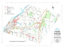
Hanover Trail Map
Recreation trails in Hanover
3814 miles away
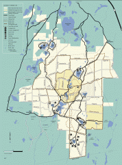
Myles Standish State Forest summer trail map
Map of all the trails and roads in Myles Standish State Park, MA. 15 miles of bicycle trails, 35...
3819 miles away

