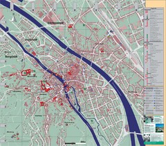
Bamberg City Map
City map of Bamberg, Germany
209 miles away
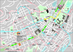
Stuttgart Street Map
Street map of Stuttgart, Germany. Show major buildings and public transport routes.
212 miles away
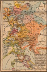
Germany Italy 1803 Map
Germany and Italy in 1803 after the Principle Decree of the Imperial Deputation
223 miles away
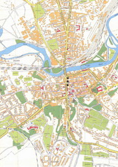
Weissenfels City Map
City map of Weissenfels, Germany
225 miles away
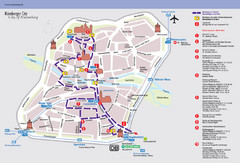
Nuremberg Tourist Map
Tourist map of old city Nuremberg, Germany. Shows tourist points of interest and a tourist walking...
234 miles away
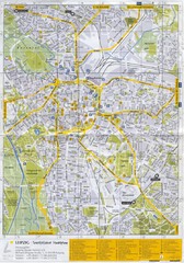
Leipzig Tourist Map
Tourist map of Leipzig, Germany. Shows points of interest. Scanned.
241 miles away
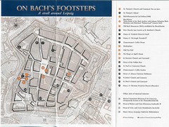
Leipzig Bach Tourist Map
Tourist map of points of interest in central Leipzig, Germany related to composer Johann Sebastian...
242 miles away
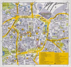
Leipzig Inner City Tourist Map
Tourist map of inner city Leipzig, Germany. Shows major buildings and points of interest.
242 miles away
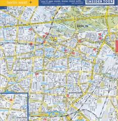
Berlin Street Map - West
Street map of western Berlin, Germany.
289 miles away
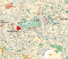
Berlin Tourist Map
292 miles away
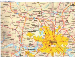
Berlin Tourist Map
292 miles away
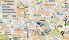
Berlin Tourist Map
292 miles away
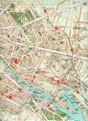
Berlin Tourist Map
292 miles away
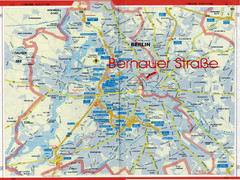
Berlin Tourist Map
292 miles away
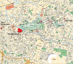
Berlin Tourist Map
Landmarks, neighborhoods and areas of Berlin
292 miles away
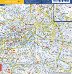
Berlin Street map - East
Street map of eastern Berlin, Germany.
292 miles away
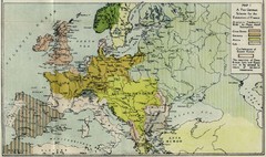
Extinction of France Map 1918
Shows pan-German scheme for the Extinction of France, 1918. As given in "Frankreich's...
293 miles away
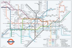
Untergrund Map
Comedic London Underground Tube map showing what it would look like if England had lost the war.
297 miles away
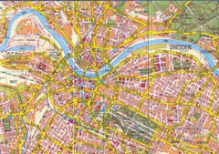
Drezden Map
302 miles away
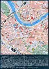
Dresden Tourist Map
Tourist map of center of Dresden, Germany. Shows major tourist attractions.
302 miles away
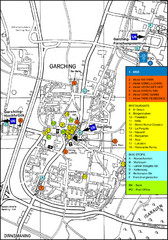
Garching Tourist Map
Tourist map of Garching bei Munchen, Germany. Shows hotels, restaurants and the most important bus...
309 miles away
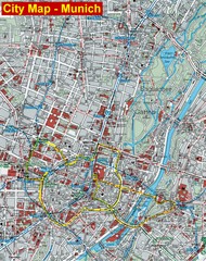
Munich City Map
City map of Munich, Germany
313 miles away
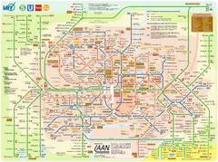
Munich Public Transportation Map
313 miles away
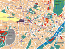
Munich Tourist Map
Tourist map of central Munich (München), Germany.
313 miles away
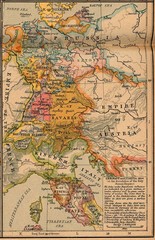
Germany Italy 1806 Map
Germany and Italy in 1806 at the dissolution of the Roman Empire
337 miles away
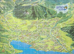
Rottach Egern Map
342 miles away
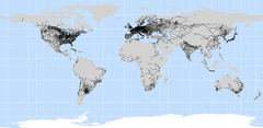
World Railways Map
Railways and transportation around the world
1207 miles away

