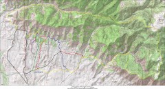
Fruita 18 Road Trail Map
Mountain biking trail map of the 18 Road area in Fruita, CO including Chutes & Ladders, Zipity...
1460 miles away
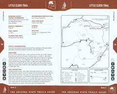
Little Elden Trail Map
Guide to Little Elden Trail near Flagstaff, AZ
1643 miles away
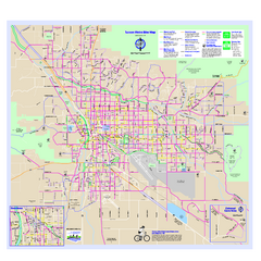
Tucson Metro Bike Map
Bike route map of the city of Tucson, Arizona.
1657 miles away
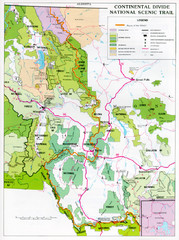
Continental Divide Scenic Trail Map
Guide to the Montana portion of the Continental Divide trail
1727 miles away
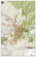
Missoula Bike Trails Map
Road and Mt. Bike trails with a bit of topology near Missoua
1793 miles away
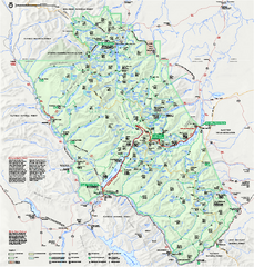
Glacier National Park official map
Glacier National Park official map.
1821 miles away
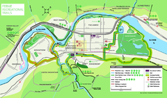
Fernie Town Trails Map
Trail map of recreational trails in and around town of Fernie, BC
1889 miles away
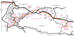
Trail of the Coeur d'Alenes Map
Shows the Trail of the Coeur d'Alenes, a 72 mile bike path that follows the Union Pacific...
1910 miles away
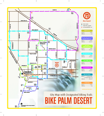
Palm Desert Biking Map
Biking route and trail map of Palm Desert, California
1933 miles away
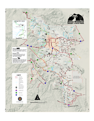
Anza-Borrego Desert State Park Map
Map of park with detail of trails and recreation zones
1939 miles away
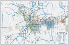
Spokane, Washington Bike Map
1962 miles away
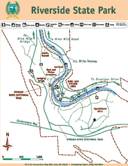
Riverside State Park Map
Map of park with detail of trails and recreation zones
1969 miles away
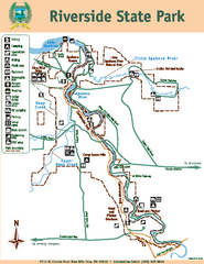
Riverside State Park Map
Map of park with detail of trails and recreation zones
1970 miles away
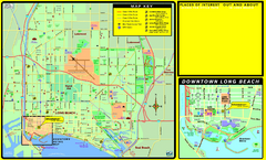
Bike Routes, Long Beach, California Map
Bicycle path map of Long Beach, California. Shows bike paths, bike centers, and public...
2030 miles away
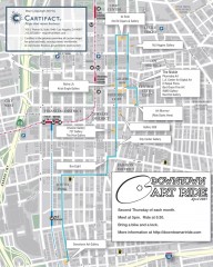
Artride Bicycle Map of Museums and Galleries
Map of a bicycle tour of the galleries and Museums in Downtown Los Angeles.
2031 miles away
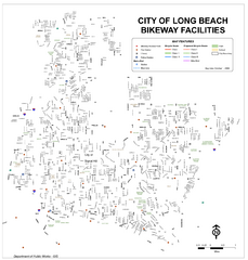
Long Beach Bike Routes Map
2032 miles away
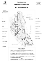
Mt. Macpherson Mountain Bike Trail Map
Mountain bike trail maps of Mt. Macpherson area and Mt. Mackenzie area right out of the town of...
2051 miles away
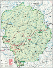
Yosemite National Park official map
Official park map showing trails, roads, campgrounds, ranger stations, parking, picnic areas, and...
2052 miles away
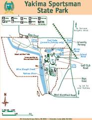
Yakima Sportsman State Park Map
Map of park with detail of trails and recreation zones
2092 miles away

Rockville Hills Regional Park Map
Trail Map, Two small lakes, picnic areas
2130 miles away
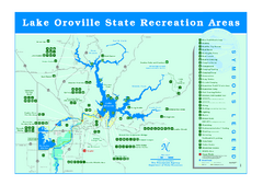
Lake Oroville State Recreation Area Map
Recreation overview map of Lake Oroville State Recreation Area near Oroville, California. Show all...
2143 miles away
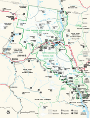
North Cascades National Park map
Official NPS map of North Cascades National Park, Washington. Shows the entire park and...
2143 miles away
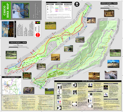
Upper and Lower Bidwell Park Bike Map
Bike map of Upper Bidwell Park and Lower Bidwell Park in Chico, California
2154 miles away
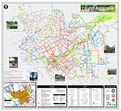
Chico Bike Map
Bicycle route map of Chico, California
2158 miles away
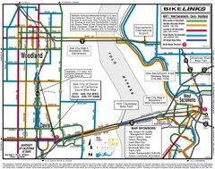
Davis, California BIke Map
2163 miles away
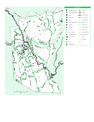
Joseph D. Grant County Park Map
Trail map of Joseph D Grant County Park in Santa Clara County, California
2174 miles away
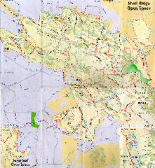
Shell Ridge Open Space Trail Map
Trail map of Shell Ridge Open Space, Walnut Creek's largest open space unit, with trails for...
2185 miles away
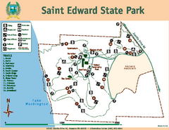
Saint Edward State Park Map
Map of park with detail of trails and recreation zones
2185 miles away
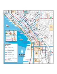
Downtown Seattle Bikeways Map
Map of bike paths, bike lanes, public transportation and points of interest in Seattle, Washington.
2188 miles away
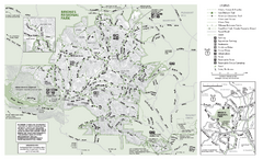
Briones Regional Park Trail Map
Trail map of Briones Regional Park in East Bay.
2191 miles away
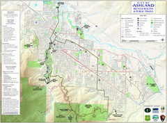
Ashland Trails Map
Trail map of Ashland, Oregon. Shows bicycle routes and public parks and trails.
2192 miles away
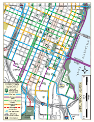
South Downtown Portland Bike Map
Biking map of southern downtown Portland, Oregon. Shows bike paths, bike parking, and bike shops.
2192 miles away
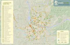
Bi-State Regional Trail System Plan Map
Shows plan for developing 37 Bi-State Regional Trails
2192 miles away
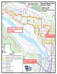
Portland, Oregon Bike Map
2192 miles away
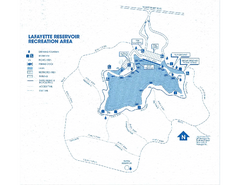
Lafayette Reservoir Recreation Area Map
2192 miles away
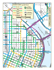
North Downtown Portland Bike Parking Map
Biking map of northern downtown Portland, Oregon. Shows bike paths, parking, and stores.
2192 miles away
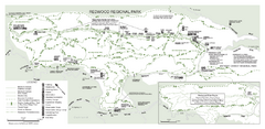
Redwood Regional Park Map
Trail map of Redwood Regional Park in Oakland, California. Shows hiking, horse, and bike trails.
2194 miles away
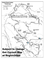
Grizzly Peak Century North Loop Route Map
Road bike route map of the north loop in the Grizzly Peak Century Ride. From site: "The...
2195 miles away
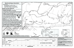
Forest Park Mountain Biking Map
Forest Park now includes over 5,100 wooded acres making it the largest, forested natural area...
2196 miles away
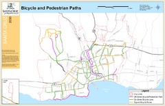
Santa Cruz, CA Bike Map
2196 miles away

