
 Edit this map

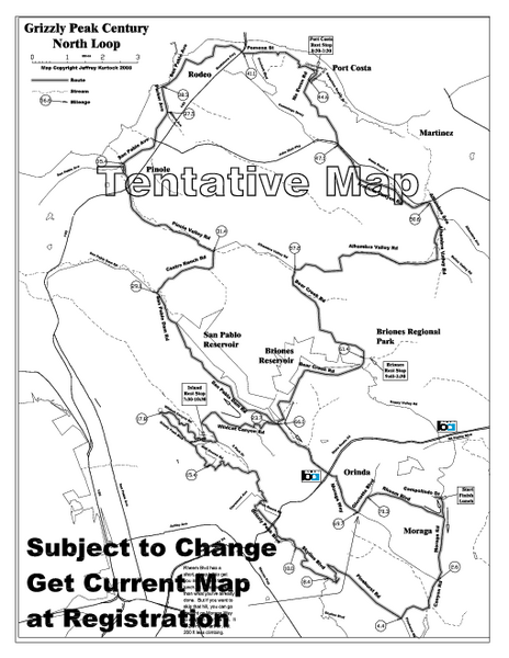
Grizzly Peak Century North Loop Route Map
near Orinda Village, California
View Location
Road bike route map of the north loop in the Grizzly Peak Century Ride. From site: "The first (or north) loop (74 miles) climbs the east side of the Oakland-Berkeley hills via Pinehurst Road, then follows the crest North into Tilden Park. It then drops down alongside San Pablo Reservoir heading North to the edge of the Bay and the Carquinez Strait. From there it climbs McEwen Road for a run down into Franklin Canyon and Alhambra Valley, then over Pig Farm Hill and through the hills around Briones Regional Park and Reservoir. Finally, one more climb on Rheem Blvd. takes you back to the start for lunch "

 See more

Nearby Maps
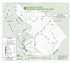
Kennedy Grove Recreation Area Trail Map
222-acre park
2 miles away
Near Kennedy Grove Recreation Area
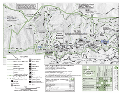
Tilden Regional Park Map - North
3 miles away
Near Tilden Regional Park
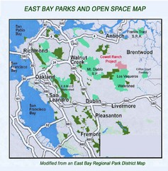
Eastbay Parks and Open Spaces Map
3 miles away
Near Richmond California
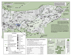
Tilden Regional Park Map - South
3 miles away
Near Tilden Regional Park
Wildcat Canyon Regional Park Map
4 miles away
Near Wildcat Canyon Regional Park
Briones Regional Park Trail Map
Trail map of Briones Regional Park in East Bay.
4 miles away
Near Briones Regional Park

 See more


 Explore Maps
 Map Directory
 click for
 Fullsize


1 Comments
a nice shorter ride is to cut out the top loop by taking a right on Alhambra Valley Rd.