Washington maps
Top Contributors..
-
13
FadedMemory
-
12

Brigid
-
5

nava
-
4

megpecaut
Claim the World, Map by Map
Claim a country by adding the most maps.Celebrate your territory with a Leader’s Boast.
Become World Leader by claiming the most!
Washington Cities by Name..
- 1Sedro-Woolley map
- 1Sequim map
- 1Shaw Island map
- 1Shoreline map
- 1Silvana map
- 1Silver Creek map
- 3Snohomish maps
- 2Snoqualmie maps
- 2Snoqualmie Pass maps
- 1Southworth map
- 2Spokane maps
- 2Suquamish maps
- 1Tacoma map
- 1Tenino map
- 1Underwood map
- 2Vantage maps
- 1Vashon map
- 1Verlot map
- 1Walla Walla map
- 2Washtucna maps
- 2Westport maps
- 1White Swan map
- 1Wilson Creek map
- 1Winslow map
- 2Woodinville maps
- 2Yakima maps
Related Info
Washington Keywords
Washington Maps
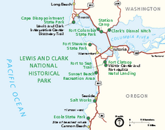
Lewis & Clark National Historic Trail...
Official NPS map of Lewis & Clark National Historic Trail in Oregon-Washington. Shows all...
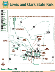
Lewis and Clark State Park Map
Map of park with detail of recreation zones and trails
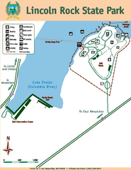
Lincoln Rock State Park Map
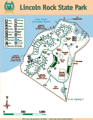
Lincoln Rock State Park Map
Map of park with detail of trails and recreation zones
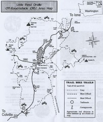
Little Pend Oreille Off Road Vehicle (ORV) Area...
Map of the Off Road Vehicle Area in Little Pend Oreille, Washington. Includes all bike trails...
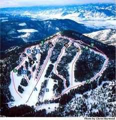
Loup Loup Ski Bowl Ski Trail Map
Trail map from Loup Loup Ski Bowl, which provides downhill, night, and nordic skiing. It has 2...
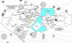
Lynden City Park Map
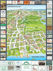
Madison Park tourist map
Tourist map of Madison Park, Washington. Shows all businesses.
Magnolia tourist map
Tourist map of Magnolia, Washington. Shows all businesses.
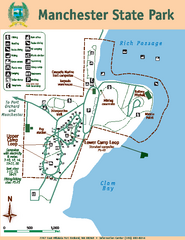
Manchester State Park Map
Map of park with detail of trails and recreation zones
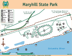
Maryhill State Park Map
Map of park with detail of trails and recreation zones
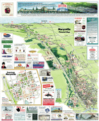
Marysville tourist map
Tourist map of Marysville, Washington. Shows all businesses.
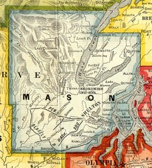
Mason County Washington, 1909 Map
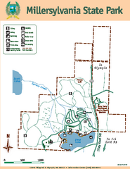
Millersylvania State Park Map
Map of park with detail of trails and recreation zones
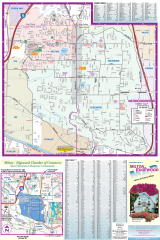
Milton and Edgewood tourist map
Tourist map of Milton and Edgewood, Washington. Shows all businesses.
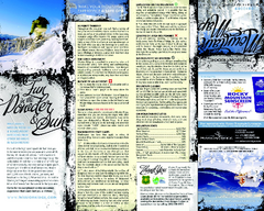
Mission Ridge Ski Area Ski Trail Map
Trail map from Mission Ridge Ski Area, which provides downhill, night, and terrain park skiing...
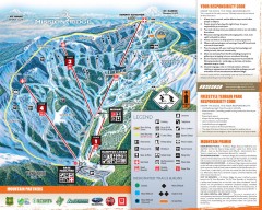
Mission Ridge Ski Trail Map
Official ski trail map of Mission Ridge ski area from the 2007-2008 season.
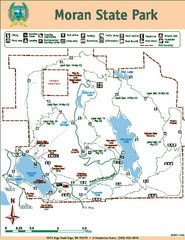
Moran State Park Map
Map of park with detail of trails and recreation zones
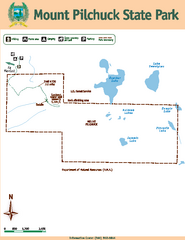
Mount Pilchuck State Park Map
Map of park with detail of trails and recreation zones


 Maps contributed
 Big Map
  Gallery