Washington maps
Top Contributors..
-
13
FadedMemory
-
12

Brigid
-
5

nava
-
4

megpecaut
Claim the World, Map by Map
Claim a country by adding the most maps.Celebrate your territory with a Leader’s Boast.
Become World Leader by claiming the most!
Washington Cities by Name..
- 1Greenbank map
- 1Hamilton map
- 2Hunts Point maps
- 2Ilwaco maps
- 6Issaquah maps
- 2Kennewick maps
- 3Kirkland maps
- 2La Conner maps
- 1Lake Goodwin map
- 1Lake Roesiger map
- 1Lake Stevens map
- 2Lakebay maps
- 1Langley map
- 1Lyle map
- 1Machias map
- 1Manchester map
- 1Marysville map
- 1Mercer Island map
- 1Milton map
- 1Montesano map
- 1Mukilteo map
- 1Napavine map
- 1Neah Bay map
- 1Newcastle map
- 2Nine Mile Falls maps
- 3Nordland maps
- 2Oak Harbor maps
- 1Ocean Park map
- 1Ocean Shores map
- 2Olga maps
- 2Olympia maps
- 3Orcas maps
- 1Orting map
- 1Pacific Beach map
- 1Pasco map
- 2Port Angeles maps
- 1Port Orchard map
- 3Port Townsend maps
- 2Poulsbo maps
- 3Pullman maps
- 1Puyallup map
- 1Ravensdale map
- 6Redmond maps
- 2Renton maps
- 1Richland map
- 1Ridgefield map
- 1Riverbend map
- 1Rockport map
- 1Seabeck map
- 30Seattle maps
Related Info
Washington Keywords
Washington Maps
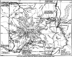
1928 Mount Rainier National Park Map
Guide to Mount Rainier National Park in 1938
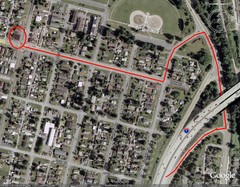
19th and Walnut in Everett, WA Map
3-D Panoramic Map of the Puget Sound
A 3D panoramic map of a view from a private residence over Puget Sound toward the Olympic...
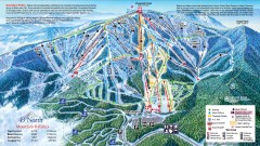
49 Degrees North Ski Trail Map
Official ski trail map of ski area from the 2007-2008 season.
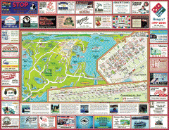
Anacortes tourist map
Tourist map of Anacortes, Washington. Shows recreation and points of interest.
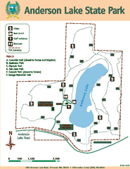
Anderson Lake State Park Map
Map of park and trails

Arlington and Smokey Point tourist map
Tourist map of Arlington and Smokey Point, Washington. Shows all businesses.

Arlington tourist map
Tourist map of Arlington, Washington. Shows all businesses.
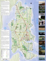
Bainbridge Island Hiking and Biking Map
Shows trails and bike routes on Bainbridge Island, Washington in the Puget Sound. Also shows...
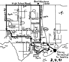
Bainbridge Walking Map
From Seattle Ferry Terminal, take the Bainbridge Ferry to Winslow. The walk is 4 miles with...
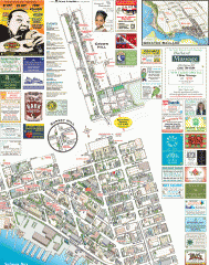
Ballard tourist map
Tourist map of Ballard, Washington. Shows all businesses.
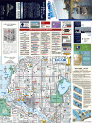
Ballard tourist map
Tourist map of Ballard, Washington and Green Lake Park. Shows all businesses.

Ballard, Seattle walking map
Start/finish at the Crittendon Locks in Ballard, Seattle. The total map is 6.4 miles, but has...
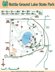
Battle Ground Lake State Park Map
Map of park with detail of trails and recreation zones
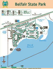
Belfair State Park Map
Map of park, with detail of trails and recreation zones
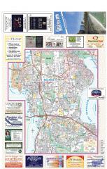
Bellevue tourist map
Tourist map of Bellevue, Washington. Shows all businesses.
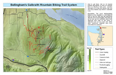
Bellingham Galbraith Mountain Biking Trail Map
Mountain biking trail map of Whatcom Falls Park near Bellingham, WA
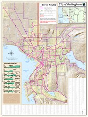
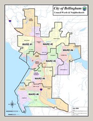
Bellingham, Washington City Map
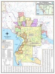


 Maps contributed
 Big Map
  Gallery