
 Edit this map

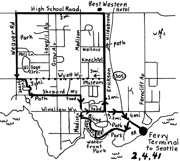
Bainbridge Walking Map
near bainbridge Island, city of Winslow, Washington
View Location
From Seattle Ferry Terminal, take the Bainbridge Ferry to Winslow. The walk is 4 miles with shortcuts of 3 miles and 1 mile. See the boats in the bay, wend through a charming town with great places to eat, have coffee and great views. Directions are available in the book "Seattle Townscape Walks" by Tyler Burgess. Available at www.walk-with-me.com or many Seattle bookstores.
See an error? Report it.
Keywords
recreation, bainbridge, winslow, seattle walks, washington, urban walks, seattle townscape walks, bainbridge island walk, seattle, walking, map
 See more

Nearby Maps
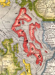
Island County Washington, 1909 Map
less than 1 mile away
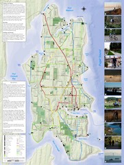
Bainbridge Island Hiking and Biking Map
Shows trails and bike routes on Bainbridge Island, Washington in the Puget Sound. Also shows...
1 mile away
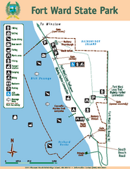
Fort Ward State Park Map
Map of park with detail of trails and recreation zones
3 miles away
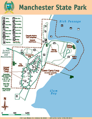
Manchester State Park Map
Map of park with detail of trails and recreation zones
4 miles away

3-D Panoramic Map of the Puget Sound
A 3D panoramic map of a view from a private residence over Puget Sound toward the Olympic mountains.
4 miles away
Illahee State Park Map
Map of park with detail of trails and recreation zones
4 miles away

 See more


 Explore Maps
 Map Directory
 click for
 Fullsize

0 Comments
New comments have been temporarily disabled.