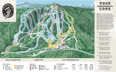
Montana maps
Top Contributors..
Claim the World, Map by Map
Claim a country by adding the most maps.Celebrate your territory with a Leader’s Boast.
Become World Leader by claiming the most!
Montana Cities by Map Count..
- 7Big Sky maps
- 4Missoula maps
- 4Whitefish maps
- 3Billings maps
- 2Big Arm maps
- 2Canyon Creek maps
- 2Crow Agency maps
- 2Red Lodge maps
- 1Anaconda map
- 1Belt map
- 1Cardwell map
- 1Choteau map
- 1Dagmar map
- 1Dillon map
- 1Evaro map
- 1Finley Point map
- 1Frenchtown map
- 1Glendive map
- 1Great Falls map
- 1Greycliff map
- 1Helena map
- 1Hobson map
- 1Miles City map
- 1Moccasin map
- 1Mullan map
- 1Polaris map
- 1Polson map
- 1Proctor map
- 1Pryor map
- 1Rollins map
- 1Stevensville map
- 1Thompson Falls map
- 1Three Forks map
- 1Wye map
Related Info
Montana Keywords
Montana Maps
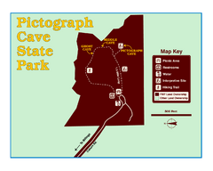
Pictograph Cave State Park Map
The 2,730-square-foot building, on the northwestern side of the existing parking lot, is...
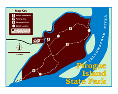
Pirogue Island State Park Map
Visitors find this isolated and undeveloped cottonwood-covered Yellowstone River island an...
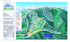
Red Lodge Mountain Ski Trail Map
Official ski trail map of Red Lodge Mountain ski area from the 2007-2008 season.
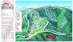
Red Lodge Mountain Ski Trail Map
Trail map from Red Lodge Mountain.
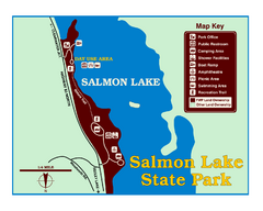
Salmon Lake State Park Map
Immediately adjacent to Montana 83, this park is an access point to one of the beautiful lakes...
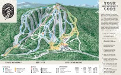
Showdown Ski Trail Map
Official ski trail map of Showdown ski area
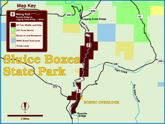
Sluice Boxes State Park Map
Remains of mines, a railroad, and historic cabins line Belt Creek as it winds through a...
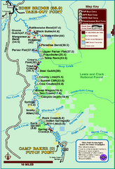
Smith River State Park Map
The Smith River is a unique 59-mile river corridor. Permits are required to float the stretch...
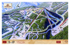
Spanish Peaks Resort Ski Trail Map
Trail map from Spanish Peaks Resort. It has 2 lifts servicing 12 runs; the longest run is 2574...
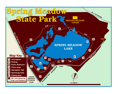
Spring Meadow Lake State Park Map
This urban, day-use-only park minutes from Helena fed by natural springs, is a popular spot for...
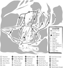
Teton Pass Ski Area Ski Trail Map
Trail map from Teton Pass Ski Area.
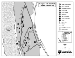
Thompson Falls State Park Map
This shaded, quiet campground is located on the Clark Fork River near the town of Thompson...
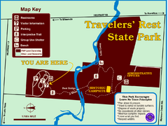
Travelers' Rest State Park Map
The Lewis and Clark expedition camped here twice during their historic journey to locate the...
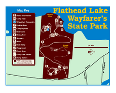
Wayfarers State Park Map
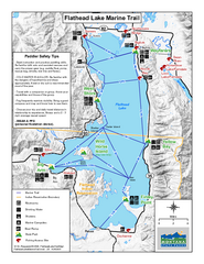
West Shore State Park Map
Glacially carved rock outcrops rise from Flathead Lake to overlooks with spectacular views of...
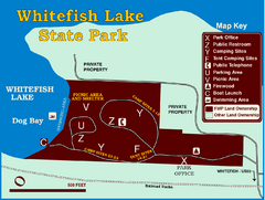
Whitefish Lake State Park Map
Although it’s right on the outskirts of Whitefish, this small park provides a mature...
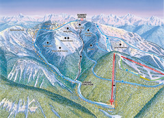
Whitefish Mountain Resort Hellroaring Ski Trail...
Trail map from Whitefish Mountain Resort.
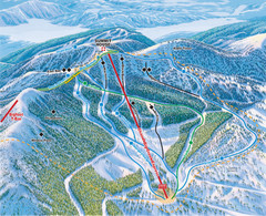
Whitefish Mountain Resort Northside Ski Trail...
Trail map from Whitefish Mountain Resort.
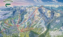
Whitefish Mountain Ski Trail Map - Front Side
Official ski trail map of Whitefish Mountain ski area from the 2007-2008 season. (formerly...


 Maps contributed
 Big Map
  Gallery