Montana maps
Top Contributors..
Claim the World, Map by Map
Claim a country by adding the most maps.Celebrate your territory with a Leader’s Boast.
Become World Leader by claiming the most!
Montana Cities by Map Count..
- 7Big Sky maps
- 4Missoula maps
- 4Whitefish maps
- 3Billings maps
- 2Big Arm maps
- 2Canyon Creek maps
- 2Crow Agency maps
- 2Red Lodge maps
- 1Anaconda map
- 1Belt map
- 1Cardwell map
- 1Choteau map
- 1Dagmar map
- 1Dillon map
- 1Evaro map
- 1Finley Point map
- 1Frenchtown map
- 1Glendive map
- 1Great Falls map
- 1Greycliff map
- 1Helena map
- 1Hobson map
- 1Miles City map
- 1Moccasin map
- 1Mullan map
- 1Polaris map
- 1Polson map
- 1Proctor map
- 1Pryor map
- 1Rollins map
- 1Stevensville map
- 1Thompson Falls map
- 1Three Forks map
- 1Wye map
Related Info
Montana Keywords
Montana Maps
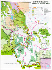
Continental Divide Scenic Trail Map
Guide to the Montana portion of the Continental Divide trail
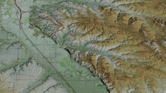
Custer Battlefield Oblique Map
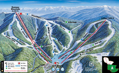
Discovery Basin Ski Area A Ski Trail Map
Trail map from Discovery Basin Ski Area.
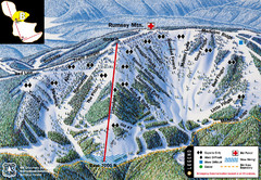
Discovery Basin Ski Area B Ski Trail Map
Trail map from Discovery Basin Ski Area.
Emigrant Montana towards Baldy and Emigrant...
Emigrant, MT towards Baldy and Emigrant Peak
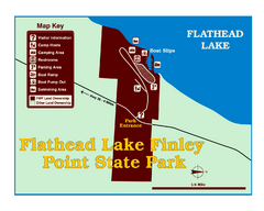
Finley Point State Park Map
This park is located in a secluded, mature pine forest near the south end of Flathead Lake...
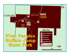
First People's Buffalo Jump State Park Map
A visitor center and interpretive trails tell the story of this prehistoric bison kill site...
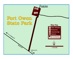
Fort Owen State Park Map
Fort Owen’s adobe and log remains preserves the site of the first permanent white...
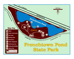
Frenchtown Pond State Park Map
Plan to bring everyone in the family to this day-use-only park for a whole afternoon of...
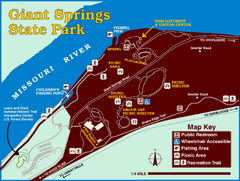
Giant Springs State Park Map
Set aside a whole afternoon to experience this scenic and historic freshwater springs site...
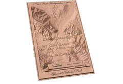
Glacier National Park by carvedmaps.com Map
Wooden carved map of Glacier National Park by carvedmaps.com Anywhere in the United States...
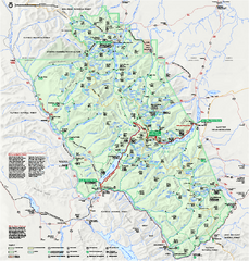
Glacier National Park official map
Glacier National Park official map.
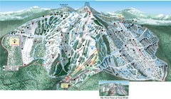
Great Divide Ski Area Ski Trail Map
Trail map from Great Divide Ski Area.
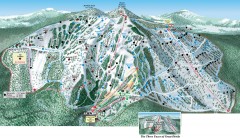
Great Divide Ski Trail Map
Official ski trail map of Great Divide ski area from the 2007-2008 season.
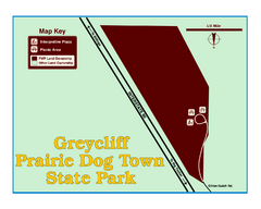
Greycliff Prairie Dog Town State Park Map
Grab your camera and hop off Interstate 90 at Greycliff to delight in the playful, curious...
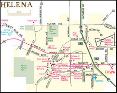
Helena, Montana City Map
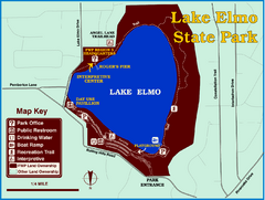
Lake Elmo State Park Map
This urban day-use park attracts visitors to swim, sailboard, and fish. A display in the Fish...


 Maps contributed
 Big Map
  Gallery
