Colorado maps


 Maps contributed
Top Contributors..
-
17

Brigid
-
7

gbutler80
-
6

nava
-
5
CarvedMaps.com
Claim the World, Map by Map
Claim a country by adding the most maps.Celebrate your territory with a Leader’s Boast.
Become World Leader by claiming the most!
Colorado Cities by Name..
- 6Aspen maps
- 4Avon maps
- 1Battlement Mesa map
- 1Bellvue map
- 3Boulder maps
- 3Breckenridge maps
- 1Briggsdale map
- 1Brighton map
- 2Buena Vista maps
- 1Carriage Club map
- 1Cascade map
- 1Cascade-Chipita Park map
- 2Castle Pines maps
- 3Castle Rock maps
- 1Cimarron Hills map
- 1Coal Creek map
- 1Colorado Springs map
- 1Columbine map
- 1Craig map
- 6Crested Butte maps
- 1Del Norte map
- 1Delta map
- 10Denver maps
- 1Dillon map
- 1Divide map
- 2Durango maps
- 1Eagle map
- 1Eldorado Springs map
- 2Fort Carson maps
- 2Fort Collins maps
- 1Foxfield map
- 1Franktown map
- 1Frisco map
- 1Fruita map
- 1Gateway map
- 1Granby map
- 5Grand Junction maps
- 1Gunnison map
- 2Idaho Springs maps
- 2Keystone maps
- 1La Junta map
- 1Lafayette map
- 2Larkspur maps
- 1Leadville map
- 2Littleton maps
- 1Loghill Village map
- 1Loma map
- 1Longmont map
- 1Loveland map
- 1Lyons map
Related Info
 Big Map
  Gallery
 Colorado Keywords
Colorado Maps

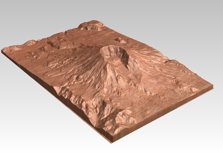
Glenwood Springs, CO carved by CarvedMaps.com...
Glenwood Springs, Colorado carved by CarvedMaps.com Virtually anywhere within the US can be...

Golden Gate Canyon State Park Map
Map of park with detail of trails

Great Sand Dunes National Park and Preserve map
Official NPS map of Great Sand Dunes National Park and Preserve. Park includes the tallest...

Gunnison Proposed Trails Map
Shows proposed trails from Gunnison, Colorado to Crested Butte, Colorado

Gunnison RTA Bus Route Map


Historic Downtown Durango map
Walking map of historic downtown Durango, Colorado. Sponsored by the Durango Business...


Howelsen Hill Ski Trail Map
Official map of Howelsen Hill ski area in Steamboat, CO. Map shows both downhill and nordic...

Independence Pass Area, Colorado Map
Basic map of the Independence Pass area near Aspen, Colorado. Independence Pass is the highest...
Island Acres State Park Map
Map of island acres section of the James M Robb Colorado River State Park

Jackson Lake State Park Map
Map of park with detail of recreation areas


John Martin State Park Map
Map of park with detail of recreation zones

Kendall Mountain Ski Trail Map
Trail map from Kendall Mountain, which provides downhill and nordic skiing. It has 1 lift...

Keystone Resort Ski Trail Map
Trail map from Keystone Resort, which provides downhill, night, and terrain park skiing. It has...

Keystone Ski Area Map
Ski trails, lifts and mountain elevations for Keystone and Bear Mountain, Colorado.

Keystone Ski Trail map 2006-07
Official ski trail map of Keystone ski area from the 2006-2007 season.
