California maps
Top Contributors..
-
65
FadedMemory
-
50

Mapophile
-
44

Brigid
-
29

nava
Claim the World, Map by Map
Claim a country by adding the most maps.Celebrate your territory with a Leader’s Boast.
Become World Leader by claiming the most!
California Cities by Map Count..
- 66San Francisco maps
- 37Bakersfield maps
- 27San Diego maps
- 23Los Angeles maps
- 10San Jose maps
- 9Santa Monica maps
- 8Long Beach maps
- 8Mammoth Lakes maps
- 8Mill Valley maps
- 8Sacramento maps
- 7Lake Isabella maps
- 7Mendocino maps
- 7Oakland maps
- 7Redwood City maps
- 6Monterey maps
- 6Oxnard maps
- 6Riverside maps
- 6Santa Clara maps
- 6Santa Cruz maps
- 6Truckee maps
- 5Berkeley maps
- 5Fort Ross maps
- 5Philo maps
- 5Santa Barbara maps
- 5South Lake Tahoe maps
- 5Tahoma maps
- 4Anaheim maps
- 4Chico maps
- 4Chino Hills maps
- 4Coronado maps
- 4Fresno maps
- 4Fullerton maps
- 4Los Altos maps
- 4Rio Vista maps
- 4San Luis Obispo maps
- 4Tiburon maps
- 4West Hollywood maps
- 4Westwood maps
- 4Wrightwood maps
- 3Cambria maps
- 3Carnelian Bay maps
- 3Culver City maps
- 3El Cerrito maps
- 3Eureka maps
- 3Fairfax maps
- 3Friant maps
- 3Glen Ellen maps
- 3Half Moon Bay maps
- 3Isleton maps
- 3La Jolla maps
Related Info
California Keywords
California Maps
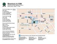
ESRI Campus Map
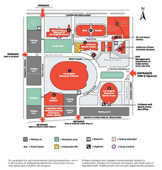
Exposotion Park Map
Farwell’s Map of Chinatown in San...
This map of vice in San Francisco's Chinatown in 1885. A fascinating historical document...
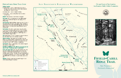
Fifield-Cahill Ridge Trail Map
Trail map and brochure of the Fifield-Cahill Ridge Trail in the San Francisco Peninsula...
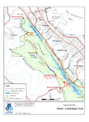
Fifield-Cahill Ridge Trail Map
Trail map of the Fifield-Cahill Ridge Trail in the San Francisco Peninsula Watershed.
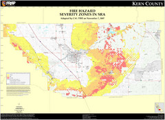
Fire Hazard Severity Zones, Kern County...
Fire Hazard Severity Zones, Kern County California: State Responsibility Area
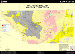
Fire Hazard Severity Zones, Kern County...
Fire Hazard Severity Zones, Kern County California: Local Responsibility Area
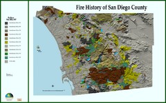
Fire History of San Diego County Map
Fire History of San Diego County from 1900 to 1997 marked in color by years burned.
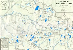
Fish Creek Area Anglers' Map
Hand-drawn fishing map of lakes, peaks, and trails in the Fish Creek Area of the John Muir...
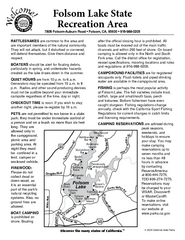
Folsom Lake State Recreation Area Campground Map
Map of park with detail of trails and recreation zones
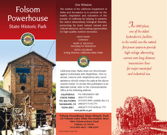
Folsom Powerhouse State Historic Park Map
Map of park with detail of trails and recreation zones
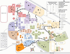
Foothill College Campus Map
Campus map of Foothill College in Los Altos Hills, CA for 2008-2009.
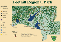
Foothill Regional Park Map
Park map of Foothill Regional Park in Sonoma County, California. Shows trails and 3 lakes.
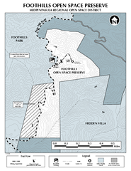
Foothills Regional Open Space Preserve Map
Preserve map of 212 acre Foothills Regional Open Space Preserve. A 0.4 mile trail leads from...
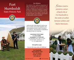
Fort Humboldt State Historic Park Map
Map of park with detail of trails and recreation zones
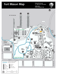
Fort Mason Map
Overview map of Fort Mason, San Francisco, California. Shows trails and points of interest.
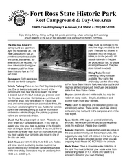
Fort Ross State Historic Park Campground Map
Map of park with detail of trails and recreation zones
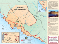
Fort Ross State Historic Park Map
Map of park with detail of trails and recreation zones
Fort Ross State Historic Park Map
Map of park with detail of trails and recreation zones
Fort Tejon State Historic Park Map
Map of park with detail of trails and recreation zones


 Maps contributed
 Big Map
  Gallery