Edit this map

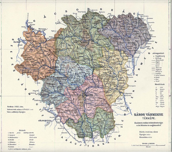
1910 Hungarian Map

near Slovakia

View LocationView Map

49.1385965370388 21.258544921875 8 satellite
Nearest Map »  Fullsize
2156 × 19081.1 MBJPG

Guide to historic Hungary, current Slovakia

Created 1910 by Saros
From groups.yahoo.com

johns added
Jan 25, 2009

Rating
no ratings

See an error? Report it.

Keywords

history, mountain, river, region, village, nizna, nizna, benzula

1 Comments

ok, but for who is this map usefull?

mike, Dec 11, 2009
New comments have been temporarily disabled.
See more

Nearby Maps

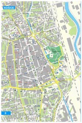
Kosice Tourist Map

Kosice Tourist Map

Tourist map of Kosice, Slovakia. Shows points of interest.

29 miles away

Near Kosice, Slovakia
Keywords: tourism, city, slovakia
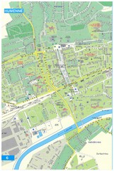
Humenne Tourist Map

Humenne Tourist Map

Tourist map of Humenne, Slovakia. Shows all points of interest.

33 miles away

Near Humenne, Slovakia
Keywords: tourism, city, slovakia
Poprad Tourist Map

Poprad Tourist Map

Tourist map of Poprad, Slovakia. Shows points of interest.

44 miles away

Near Poprad, Slovakia
Keywords: tourism, city, slovakia
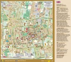
Tarnow Tourist Map

Tarnow Tourist Map

Tourist map of the center of Tarnow, Poland

62 miles away

Near Tarnow, Poland
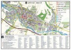
Liptovsky Mikulas Tourist Map

Liptovsky Mikulas Tourist Map

Tourist map of Liptovsky Mikulas, Slovakia

74 miles away

Near Liptovsky Mikulas, Slovakia
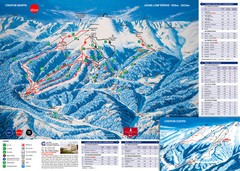
Jasná Ski Trail Map

Jasná Ski Trail Map

Trail map from Jasná.

77 miles away

Near Demänovská Dolina, Slovakia
See more