
 Edit this map

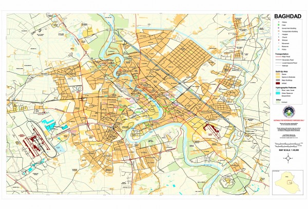
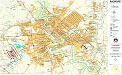
Baghdad Iraq Downtown map
near Baghdad, Iraq
View Location
Map of downtown Baghdad, Iraq. Shows key POI buildings, transportation, hydrographic features, and the degree the area is built up (dense, sparse, major buildings, airfield).

 See more

Nearby Maps
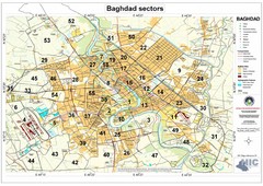
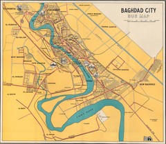
Built Up Areas and Sectors in Baghdad Map
Sectors in Baghdad, Iraq due to the Iraq War
0 miles away
Near Baghdad
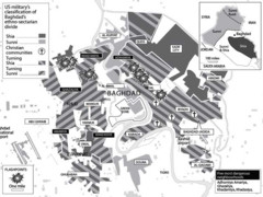
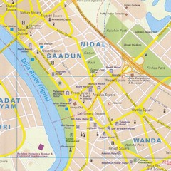
Baghdad Sectarian Divisions Map
Map of city with detail of religious sects divisions
0 miles away
Near Baghdad, Iraq
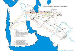
Iraq Map
37 miles away
Near Baghdad, Iraq

 See more


 Explore Maps
 Map Directory
 click for
 Fullsize


0 Comments
New comments have been temporarily disabled.