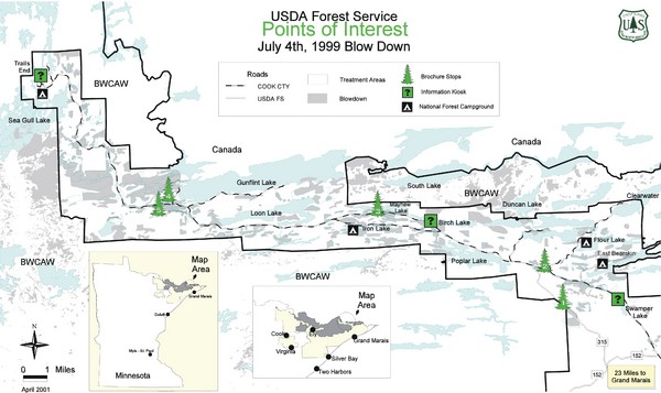
Quetico Provincial Park Map
near Grand Marias, Minnesota, USA
See more
 See more
Nearby Maps

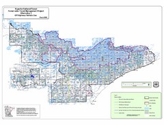
Superior National Park Map
Park Map in Minnesota. Does not include road or highway names
43 miles away
Near Isabella, Minnesota

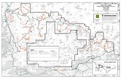
Superior National Forest Map
Echo Trail in Superior National Forest
46 miles away
Near Superior National Forest

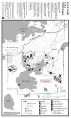
Bear Head Lake State Park Map
Map of park with detail of trails and recreation zones
46 miles away
Near 9301 Bear Head Lake State Park Rd, Ely, MN

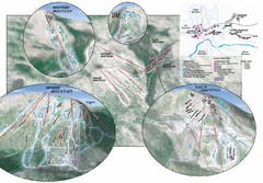
Lutsen Mountains Ski Trail Map
Trail map from Lutsen Mountains, which provides downhill and terrain park skiing. It has 10 lifts...
49 miles away
Near Minnesota, United States

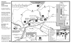
Soudan Underground Mine State Park Map
map of park with detail of trails and recreation zones
51 miles away
Near Soudan Underground Mine State Park, MN

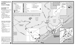
Temperance River State Park Map
map of park with detail of trails and recreation zones
52 miles away
Near 7620 West Highway 61, Schroeder, MN

 click for
 Fullsize


0 Comments
New comments have been temporarily disabled.