
 Edit this map

Coupeville tourist map
near coupeville, washington

 See more

Nearby Maps
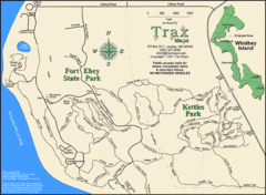
Ft Ebey/Kettle Park Trail Map
Trail map of Fort Ebey Park and Kettle Park, Washington
3 miles away
Near 98110
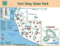
Fort Ebey State Park Map
Map of park with detail of trails and recreation zones
4 miles away
Near 400 Hill Valley Drive, Coupeville, WA 98239

Oak Harbor tourist map
Tourist map of Oak Harbor, Washington. Shows all businesses.
5 miles away
Near oak harbor, washington
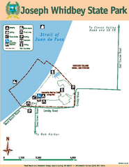
Joseph Whidbey State Park Map
Map of park with detail of trails and recreation zones
6 miles away
Near West Beach & Swantown Roads, Island County...
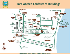
Fort Worden Conference Buildings Map
Map of conference buildings in Fort Worden State Park
7 miles away
Near 200 Battery Way, Port Townsend, WA 98368
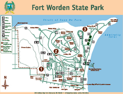
Fort Worden State Park Map
Map of park with detail of trails and recreation zones
7 miles away
Near 200 Battery Way, Port Townsend, WA 98368

 See more


 Explore Maps
 Map Directory
 click for
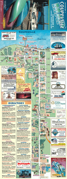
 Fullsize


0 Comments
New comments have been temporarily disabled.