Edit this map

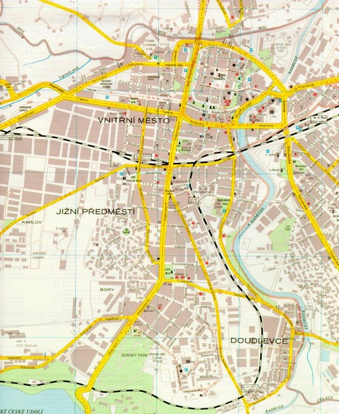
Plzen City Map

near Plzen, Czech Republic

View LocationView Map

49.747485 13.377604 12 satellite
Nearest Map »  Fullsize
1275 × 1554589 KBJPG

City map of Plzen, Czech Republic. Scanned.

From herakles.zcu.cz

mapluvr added
Jul 9, 2008

Rating
rated 2.5 by 2 people

See an error? Report it.

Keywords

reference, city, street, piky, namesti piky, prazdroje

0 Comments

New comments have been temporarily disabled.
See more

Nearby Maps

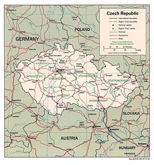
Czech Republic Map

Czech Republic Map

39 miles away

Near Czech Republic
Keywords: reference
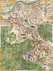
Karlovy Vary Czech Republic Tourist Map

Karlovy Vary Czech Republic Tourist Map

Tourist map of Karlovy Vary, Czech Republic. Shows businesses, buildings of historical interest and...

40 miles away

rated 4 by 1 person
Near Karlovy Vary, Czech Republic
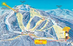
Arber Ski Trail Map

Arber Ski Trail Map

Trail map from Arber.

45 miles away

Near Bayerisch Eisenstein, Bavaria, Germany
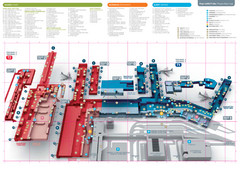
Praugue Airport Map

Praugue Airport Map

46 miles away

rated 4 by 1 person
Near Prague
Keywords: transportation
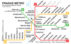
Prague Metro 2008 Map

Prague Metro 2008 Map

51 miles away

rated 3 by 1 person
Near prague
Prague Old Town Map

Prague Old Town Map

Tourist map of Old Town Prague, Czech Republic

52 miles away

Near Prague, Czech Republic
See more