
 Edit this map

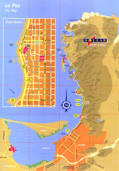
La Paz Mexico Map
near La Paz, Baja California Sur

 See more

Nearby Maps
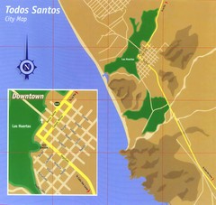
Todos Santos Tourist Map
Minimalist tourist map shows streets of Todos Santos, Mexico and a gas station, banks, and church.
51 miles away
Near Todos Santos, Mexico
Hurricane Tracking Chart, East Pacific Map
A potentially useful and fun map.
82 miles away
Near Pozo de Cota, Mexico
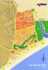
San Jose Del Cabo Map
Street map of San Jose del Cabo, Mexico
87 miles away
Near San Jose del Cabo, Mexico
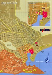
Cabo San Lucas Map
Street map of central Cabo San Lucas, Mexico
92 miles away
Near Cabo San Lucas, Mexico
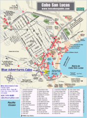
Cabo San Lucas Tourist Map
92 miles away
Near Cabo San Lucas
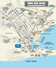
Cabo San Lucas Restaurant Map
92 miles away
Near Cabo San Lucas

 See more


 Explore Maps
 Map Directory
 click for
 Fullsize


0 Comments
New comments have been temporarily disabled.