
 Edit this map

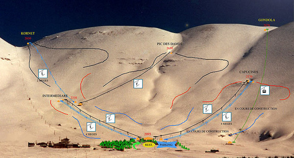
The Cedars Ski Trail Map
near Bcharre, Lebanon

 See more

Nearby Maps

Faraya Mzaar Kfardebian Ski Trail Map
Trail map from Faraya Mzaar Kfardebian.
20 miles away
Near Aayoun Al Simane, Kesrouane, Lebanon
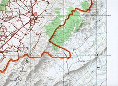
Baalbeck, Leabanon Map
Map showing details of the Baalbeck Distortion 2008
20 miles away
Near baalbeck, Lebanon
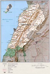
Lebanon Country Map
29 miles away
Near Lebanon

 See more


 Explore Maps
 Map Directory
 click for
 Fullsize

0 Comments
New comments have been temporarily disabled.