Edit this map

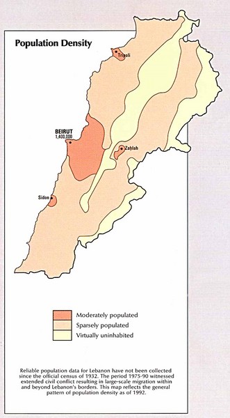
Lebanon Population Density Map

near Lebanon

View LocationView Map

33.854721 35.862285 8 satellite
Nearest Map »  Fullsize
793 × 1438120 KBJPG

Map of Lebanon's population density

Created 1993 by CIA Atlas of the Middle East
From www.lib.utexas.edu

Megan added
Nov 30, 2009

Rating
no ratings

See an error? Report it.

Keywords

statistics, coutry, population

0 Comments

New comments have been temporarily disabled.
See more

Nearby Maps

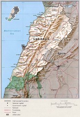
Lebanon Country Map

Lebanon Country Map

0 miles away

Near Lebanon
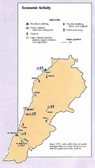
Lebanon Economic Activity Map

Lebanon Economic Activity Map

Map of Lebanon's economic activity

0 miles away

Near Lebanon
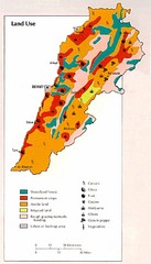
Lebanon Land Use Map

Lebanon Land Use Map

Map of Lebanon's land use

4 miles away

Near Lebanon
Faraya Mzaar Kfardebian Ski Trail Map

Faraya Mzaar Kfardebian Ski Trail Map

Trail map from Faraya Mzaar Kfardebian.

10 miles away

Near Aayoun Al Simane, Kesrouane, Lebanon
Beirut Relgions Divides Map

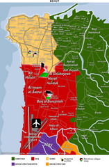
Beirut Relgions Divides Map

Map of Beirut with detail of various religious divisions based on districts

19 miles away

Near Beirut, Lebanon
Beirut Map

Beirut Map

Map of Beirut, Lebanon. In French.

20 miles away

rated 3 by 1 person
Near Beirut, Lebanon
See more