
 Edit this map

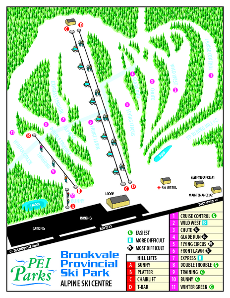
Brookvale Provincial Park Ski Trail Map
near Prince Edward Island, Canada
View Location
Trail map from Brookvale Provincial Park, which provides downhill and nordic skiing. This ski area has its own website.

 See more

Nearby Maps
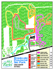
Brookvale Provincial Park Nordic Ski Trail Map
Trail map from Brookvale Provincial Park, which provides downhill and nordic skiing. This ski area...
0 miles away
Near Prince Edward Island, Canada
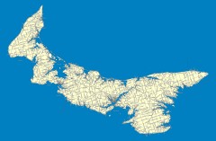
Prince Edward Island Road map
Road map of Prince Edward Island
14 miles away
Near Prince Edward Island, Canada
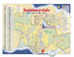
Summerside Tourist Map
Tourist map of Summerside, Prince Edward Island. Shows street index, mural tour, attractions, and...
20 miles away
Near Summerside, Prince Edward Island
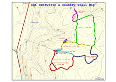
Ski Wentworth Nordic Ski Trail Map
Trail map from Ski Wentworth, which provides downhill and nordic skiing. This ski area has its own...
47 miles away
Near Nova Scotia, Canada
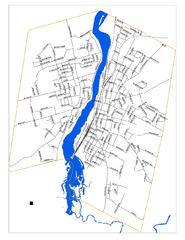
New Glasglow Street Map
Street map of town of New Glasglow, Nova Scotia
60 miles away
Near New Glasglow, Nova Scotia
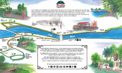
New Glasglow Town Trail Map
Walking trail map of trails in New Glasglow, Nova Scotia. Shows 3 trails: Samson Trail, Pioneer...
60 miles away
Near New Glasglow, Nova Scotia

 See more


 Explore Maps
 Map Directory
 click for
 Fullsize

0 Comments
New comments have been temporarily disabled.