Edit this map

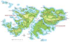
Falkland Islands Map

near Falkland Islands

View LocationView Map

-51.7746382578698 -59.447021484375 7 satellite
Nearest Map »  Fullsize
1331 × 917911 KBJPG

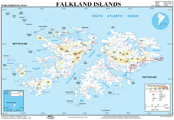
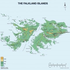
Overview elevation map of the Falkland Islands

Created 2007
From operations.mod.uk

nicky added
Aug 4, 2009

Rating
no ratings

See an error? Report it.

Keywords

reference, islands, elevation

0 Comments

New comments have been temporarily disabled.
See more

Nearby Maps

Falkland Islands Map

Falkland Islands Map

2 miles away

Keywords: reference
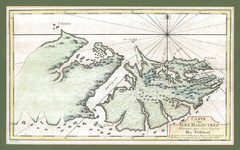
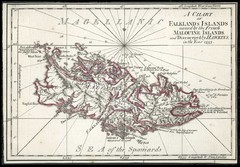
Falkland Islands 1760 Map

Falkland Islands 1760 Map

3 miles away
Keywords: history
Falkland Islands 1593 Map

Falkland Islands 1593 Map

3 miles away
Keywords: history
Falkland Islands Elevation Map

Falkland Islands Elevation Map

Color-coded elevation map of the Falkland Islands

4 miles away

Near Falkland Islands
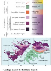
Falkland Islands Geology Map

Falkland Islands Geology Map

Geology map of the Falkland Islands

4 miles away

Near Falkland Islands
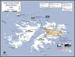
The Falklands War: 1982 Map

The Falklands War: 1982 Map

The Falklands War: 1982 British campaigns.

4 miles away

Near falkland islands
Keywords: history
See more