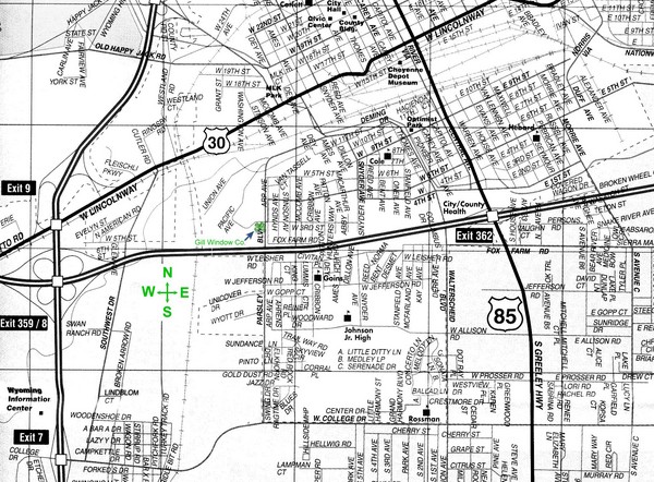
Cheyenne, Wyoming City Map
near Cheyenne, Wyoming
See more
 See more
Nearby Maps

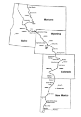
Continental Divide Trail Graphic Map
Guide to the Continental Divide Trail, with major cities and stopping points
16 miles away
Near US

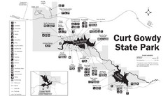
Curt Gowdy State Park Map
Curt Gowdy is a recreation area with three reservoirs. It's great for fishing, camping, water...
22 miles away
Near Curt Gowdy State Park, Wyoming

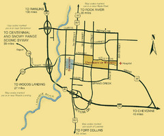
Laramie City Map
City map of Laramie, Wyoming with University of Wyoming highlighted.
42 miles away
Near Laramie, Wyoming

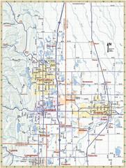
Fort Collins, Colorado City Map
42 miles away
Near Fort Collins, Colorado, US

Colorado State University Map
Campus Map of Colorado State University. All area's shown.
42 miles away
Near Fort Collins, CO

Lory State Park Trail Map
Map of park with detail of hiking trails
44 miles away
Near 708 Lodgepole Dr., Bellvue, CO

 click for
 Fullsize

0 Comments
New comments have been temporarily disabled.