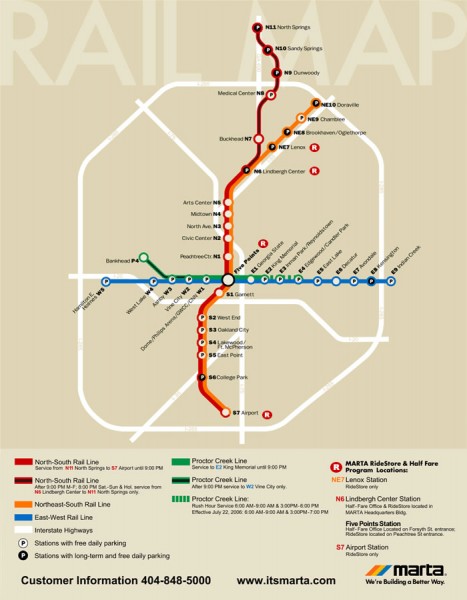
Atlanta MARTA rail map
near Atlanta, GA
View Location
Official rail map of the Metropolitan Atlanta Rapid Transit Authority.
Tweet
See an error? Report it.
Keywords
transportation, subway, metro, rail, s1, highway, brookhaven, sandysprings, athens, ga, georgia dome, hampton, columbia, road See more
 See more
Nearby Maps

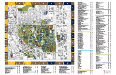
Georgia Institute of Technology Map
Georgia Institute of Technology Campus Map. All buildings shown.
0 miles away
Near Atlanta, Georgia

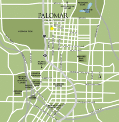
Atlanta Tourist Map
less than 1 mile away
Near Atlanta

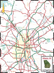
Atlanta, GA Tourist Map
less than 1 mile away
Near Atlanta, GA

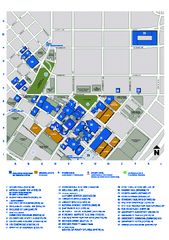
Georgia State University Map
Georgia State University Campus Map. All buildings shown.
less than 1 mile away
Near Atlanta, Georgia

Two Buckhead Plaza/Surrounding Area Map
less than 1 mile away
Near Two Buckhead Plaza, 3050 Peachtree Road, Atlanta...

Atlanta Metro Proximity Ring Map
Shows proximity of downtown Atlanta, Georgia to surrounding areas
less than 1 mile away
Near Atlanta, Georgia

 click for
 Fullsize


1 Comments
The map's too small!