
 Edit this map

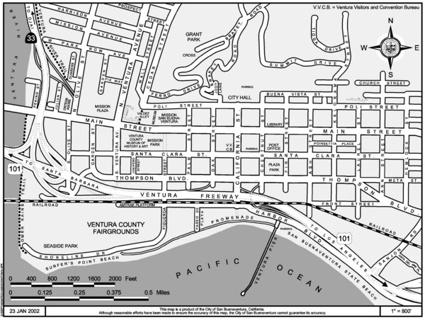
San Buenaventura Map
near San Buenaventura, CA, USA

 See more

Nearby Maps
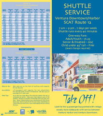
SCAT Shuttle Map: Ventura Harbor to Downtown...
Shuttle bus route map of SCAT Shuttle between Ventura Harbor and downtown Ventura, California...
less than 1 mile away
Near ventura, ca
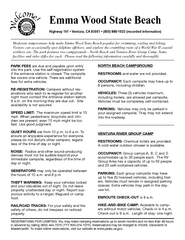
Emma Wood State Beach Campground Map
Map of campground region of park with detail of trails and recreation zones
2 miles away
Near Emma Wood State Beach, Ventura, CA
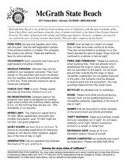
McGrath State Beach Campground Map
Map of beach and park with detail of trails and recreation zones
4 miles away
Near 2211 Harbor Blvd, Oxnard, CA
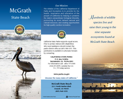
McGrath State Beach Map
Map of beach and park with detail of trails and recreation zones
4 miles away
Near 2211 N. Harbor Blvd, Oxnard, CA
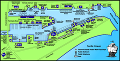
Channel Islands Harbor, California Map
Tourist map of Channel Islands Harbor, California. Shows water taxi stops, restaurants, parks, and...
9 miles away
Near channel islands harbor, ca
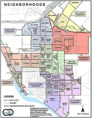
Oxnard California Neighborhoods Map
Neighborhoods: * Del Norte District o El Rio o El Rio West o...
9 miles away
Near Oxnard, Ca.

 See more


 Explore Maps
 Map Directory
 click for
 Fullsize


0 Comments
New comments have been temporarily disabled.