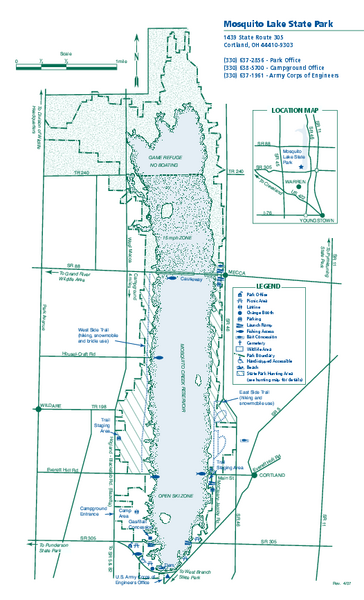
Mosquito Lake State Park map
near Cortland, Ohio 44410-9303
See more
 See more
Nearby Maps

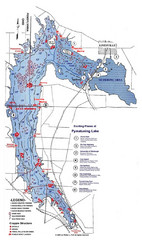
Pymatuning Lake State Park Fishing Map
Pymatuning Lake State Park fishing map
21 miles away
Near Andover, OH

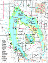
Pymatuning State Park Map
Detailed recreation map for Pymatuning State Park in Ohio
21 miles away
Near Andover, Ohio 44003-1000

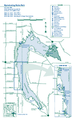
Pymatuning State Park Map
Recreation map for Pymatuning State Park in Pennsylvania
22 miles away
Near Jamestown, PA 16134

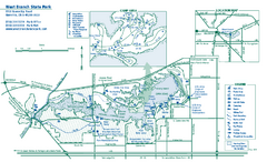
West Branch State Park map
Detailed recreation map for West Branch State Park in Ohio.
26 miles away
Near Ravenna, Ohio 44266-9659

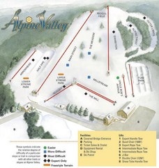
Alpine Valley Ski Area Ski Trail Map
Trail map from Alpine Valley Ski Area.
32 miles away
Near 10620 Mayfield Rd, Chesterland, OH

 click for
 Fullsize


0 Comments
New comments have been temporarily disabled.