
 Edit this map

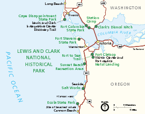
Lewis & Clark National Historic Trail Official Map
near Washington - Oregon
View Location
Official NPS map of Lewis & Clark National Historic Trail in Oregon-Washington. Shows all areas in both states. The Lewis and Clark National Historic Trail extends over 3,700 miles and through 11 states, from Illinois to the Pacific Coast. Operating hours and seasons vary from site to site. Some sites along the Trail may require advance reservations.
Tweet
See an error? Report it.
Keywords
recreation, national park, historical park, park, biking, hiking, boating, memorial, monument, trail, washington, oregon
 See more

Nearby Maps
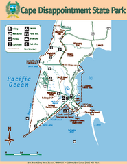
Cape Dissapointment State Park Map
Map of park with detail of trails and recreation zones
2 miles away
Near 244 Robert Gray Dr, Illwaco, WA 98624
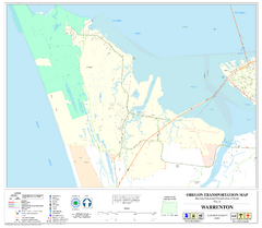
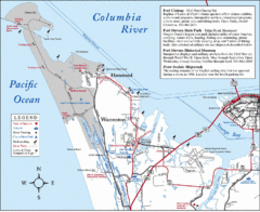
Warrenton Oregon Road Map
8 miles away
Near Warrenton Oregon
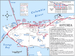
Astoria Oregon Map
A detailed topographic map of Astoria, Oregon and the Columbia River.
11 miles away
Near astoria, oregon
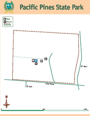
Pacific Pines State Park Map
Map of park with detail of trails and recreation zones
17 miles away
Near Pacific Pines State Park, WA

 See more


 Explore Maps
 Map Directory
 click for
 Fullsize


0 Comments
New comments have been temporarily disabled.