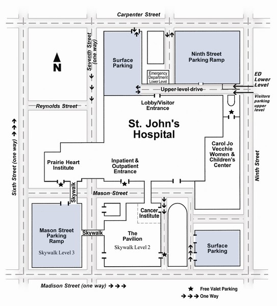
St. John's Hospital Visitor Map
near Springfield, Illinois, USA
View Location
St. John's Hospital Visitor Map includes all main buildings, names of streets and parking areas.
See more
 See more
Nearby Maps

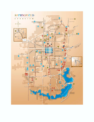
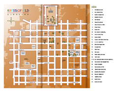
Springfield, Illinois Map
Tourist maps of Springfield, Illinois. Includes two maps: wider view of Springfield, and downtown...
less than 1 mile away
Near Springfield, IL

Looking for Lincoln Walking Tour, Springfield...
Looking for Lincoln walking tour map, Springfield, Illinois. Shows sites associated with President...
less than 1 mile away
Near Springfield, IL

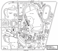
Illinois State Fairgrounds Map
2 miles away
Near Illinois State Fairgrounds, IL, USA

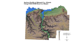
Painted DEM of Menard Co. Illinois Map
Mosaic painted DEM of Menard Co. using Arc/Info 8.x; AML; Perl; Erdas Imagine on SUN Hardware (Unix...
12 miles away
Near Petersburg, IL; 62675

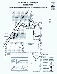
Edward R. Madigan State Park, Illinois Site Map
25 miles away
Near Edward R. Madigan State Park, Illinois

 click for
 Fullsize


0 Comments
New comments have been temporarily disabled.