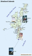
Shetland Islands Tourist Map
1801 miles away
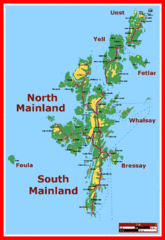
Shetland Islands Tourist Map
1801 miles away
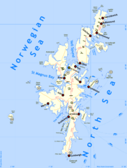
Shetland Islands Tourist Map
1801 miles away
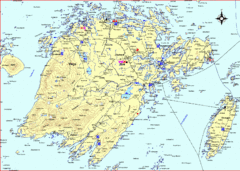
Vega Island Map
1927 miles away
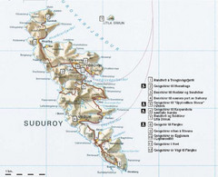
Suðuroy Tourist Map
Tourist map of Suduroy, Faroe Islands.
1992 miles away
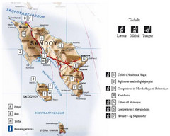
Sandoy Island Tourist Map
Tourist map of Sandoy, Faroe Islands. Shows ferry and bus stops and 7 hikes rated by difficulty
2002 miles away
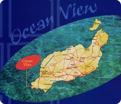
Lanzarote Map
Island road map of Lanzarote
2057 miles away
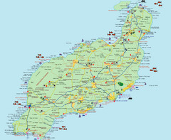
Lanzarote Tourist Map
Tourist map of Lanzarote, Canary Islands, Spain.
2058 miles away
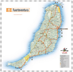
Fuerteventura Island Map
2104 miles away
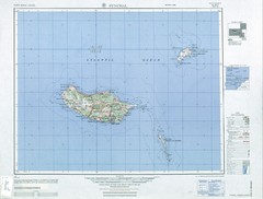
Madeira Country Map
2136 miles away
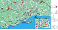
Funchal Tourist Map
Tourist map of Funchal, Madeira
2136 miles away
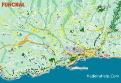
Funchal Madeira Map
Street map of Funchal, Madeira Islands, Portugal
2136 miles away
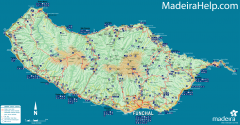
Madeira Island Map
Road map of Madeira Island, Portugal. Shows roads, trails, and rivers. Symbols for points of...
2137 miles away
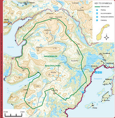
Anderdalen National Park Map
Topo map of Anderdalen National Park on Berg Senja, Norway
2146 miles away
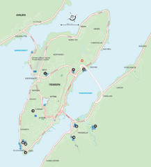
Tromso Overview Map
Overview map of Tromso, Norway island. Shows major roads and streets.
2174 miles away
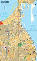
Las Palmas Tourist Map
Tourist map of city of Las Palmas, Gran Canaria, Spain. Shows points of interest.
2186 miles away
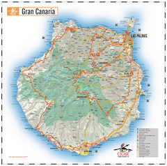
Gran Canaria Tourist Map
Tourist map of Gran Canaria Island, Spain. Shows tourist points of interest.
2200 miles away
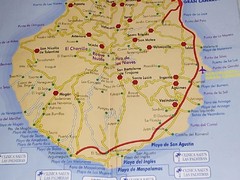
Gran Canaria Island Map
2202 miles away
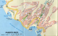
Puerto Rico Gran Canaria Map
City map of Puerto Rico, Gran Canaria. Scanned
2212 miles away
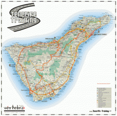
Tenerife Road Map
Detailed road map of Tenerife. Shows parks, peaks, and beaches
2240 miles away
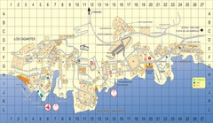
Los Gigantes Tourist Map
Tourist map of Los Gigantes, Tenerife. Shows properties for rent and points of interest.
2258 miles away
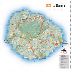
La Gomera Island Map
Map of the island of Gomera in the Canary Islands
2283 miles away
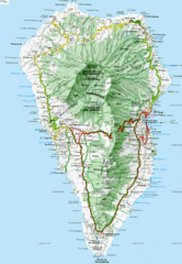
La Palma Physical Map
Physical map of island of La Palma. Shaded relief.
2301 miles away
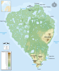
Bear Island Bjørnøya Norway Map
Elevation map of Bear Island, Norway (Bjørnøya) in the Barents Sea, the southernmost...
2504 miles away
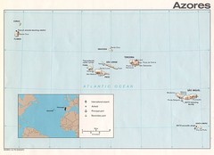
Azores Islands Map
2561 miles away
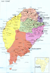
Sao Tome Political Map
Political map of island of São Tomé, lying on the equator off the west coast of...
2779 miles away
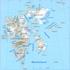
Svalbard Physical Map
Physical map of Svalbard, Norway. The northernmost part of the kingdom of Norway. Shows ice...
2805 miles away
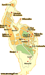
Goree Island Map
Clear map of this small beautiful island.
2833 miles away
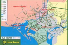
Karachi Bus Route Map
Bus routes and districts are clearly labeled.
2853 miles away
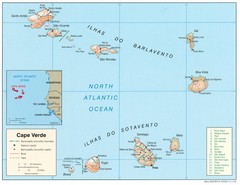
Cape Verde Islands Map
Shaded relief map of Cape Verde Islands in the mid-Atlantic
3109 miles away
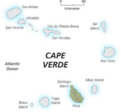
Cape Verde Island Map
This map clearly labels each island of Cape Verde.
3109 miles away
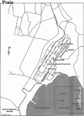
Praia City Map
City map of central Praia, Cape Verde Islands
3131 miles away
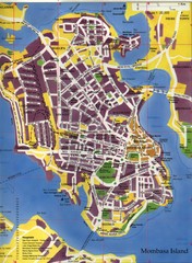
Mombasa City Map
City street map of Mombasa Island, Kenya
3170 miles away
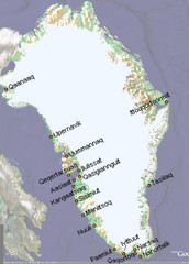
Greenland City Names Map
Map of Greenland shows city names.
3192 miles away
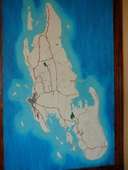
Zanzibar Island Map
Island map of Zanzibar, Tanzania From photo Oct 3 2007
3298 miles away
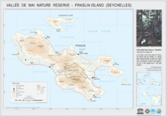
Vallee de Mai nature Reserve Map
3704 miles away
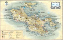
Praslin Island Map
Guide to the second largest island of the Seychelles
3705 miles away
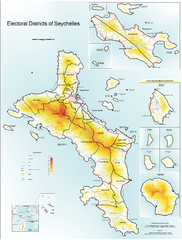
Seychelles Electoral Map
Shows electoral districts of the Seychelles Islands in the middle of the Indian Ocean.
3711 miles away
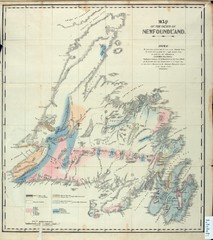
Newfoundland Geologic Map 1842
3743 miles away
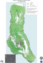
Grand Comore Island Volcanic Eruption Map
Karthala volcanic eruption post disaster map on Grand Comore Island, 8/12/2005
3750 miles away

