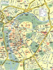
Cambridge Street Map
Street map of central Cambridge, England. Shows University of Cambridge.
351 miles away
Near Cambridge, England
1818 × 2383•610 KB•JPG
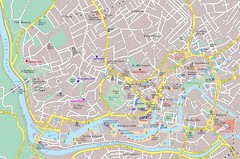
Bristol Tourist Map
Tourist map of central Bristol, England.
365 miles away
Near Bristol, England
1940 × 1288•552 KB•JPG
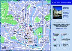
Bath City Map
372 miles away
Near Bath, UK
335 KB•PDF
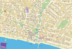
Brighton Tourist Map
Street map of Brighton, UK. Shows gay points of interest.
434 miles away
Near Brighton, UK
2760 × 1890•2.8 MB•JPG
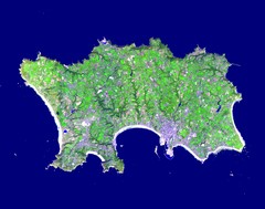
Jersey Physical Map
Guide to the Balliwick of Jersey, a British Crown Dependency
521 miles away
Near Jersey
1400 × 1100•232 KB•JPG
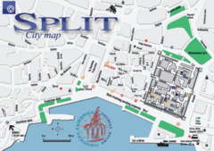
Split Tourist Map
Tourist map of central Split, Croatia.
1276 miles away
Near Split, Croatia
882 × 622•106 KB•GIF
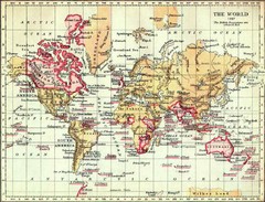
1897 British Empire Map
Guide to the British Empire and holdings as of 1897
1366 miles away
Near world
1116 × 849•159 KB•JPG
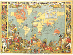
1886 British Empire Map
Guide to the British Empire as of 1886, beautiful illustrated map
1366 miles away
Near World
1051 × 794•1.1 MB•JPG
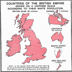
British Empire by Population Map
Guide to the British Empire by White Population, size of country determined by amount of white...
1366 miles away
Near World
904 × 900•269 KB•JPG
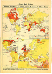
British Empire History Map
Guide to the rise and fall of the British Empire
1366 miles away
Near World
826 × 1159•454 KB•JPG
page 2 of 2

