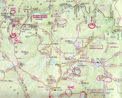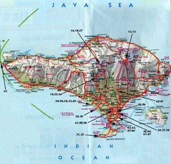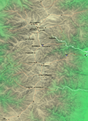
Kiso-Komagatake Hiking Map
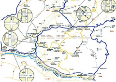
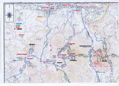
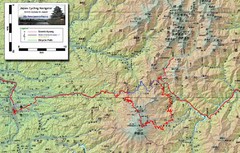
Map of Chuo Alps.
2288 miles away
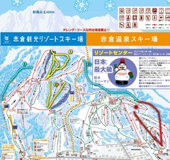
Akakura Ski Map
2317 miles away
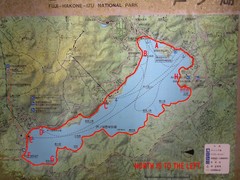
Ashinoko Lake Trail Map
Map of the Ashinoko Lake area in Fuji-Hakone-Izu National Park, Japan, Ashinoko, Shows some...
2353 miles away
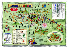
Mt. Mitake Hiking Map
Tourist, hiking map for Mt. Mitake.
2364 miles away
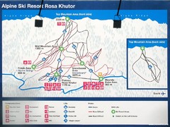
Rosa Khutor Ski Trail Map
Ski trail map of Rosa Khutor in Russia, site of all alpine skiing and snowboarding events in the...
3497 miles away
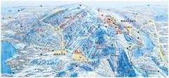
Ruka Ski Trail Map
Ski trail map of Ruka, Finland
4008 miles away
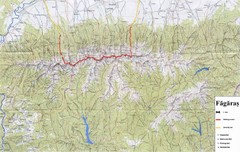
Bagaras Mountains Hiking Trail Map
Bagaras Mountain walking trails, Romania.
4228 miles away
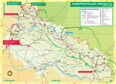
Transcarpathia Hiking Trail Map
Map of the Transcarpathia Hiking Trail (THT) in Ukraine. Trail runs through the territory of...
4278 miles away
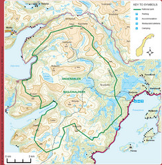
Anderdalen National Park Map
Topo map of Anderdalen National Park on Berg Senja, Norway
4323 miles away
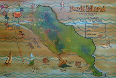
Dunk Island Tourist Map
Tourist map of Dunk Island and Family Islands National Park. Shows trails, reefs, and other islands...
4372 miles away
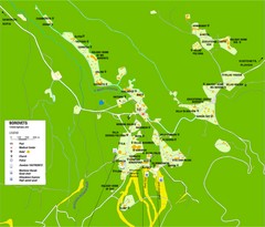
Borovets Map
Map of Borovets ski resort in Bulgaria.
4375 miles away
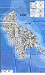
Zakynthos Island Map
Detailed map of Zakynthos Island. Scanned
4567 miles away
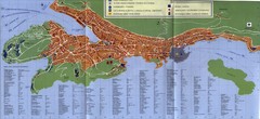
Dubrovnik City Map
City map of Dubrovnik, Croatia. Street index and shows services. Scanned.
4610 miles away

Island of Hvar Map
Map of the Island Hvar, Croatia showing roads and cities.
4664 miles away
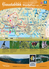
Skipsfjellet Hiking Map
Hiking trail map of Skipsfjell, Norway near Rjukan, Norway. Shows moderate 2 hour loop hike and...
4682 miles away
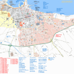
Bari Tourist Map
Tourist map of Bari, Italy. Shows consulates and points of interest.
4701 miles away
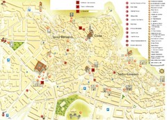
Matera Tourist Map
Tourist map of Matera, Italy. Shows points of interest.
4723 miles away
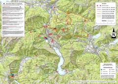
Central Austria Hiking Map
Large map of hiking and emergency services.
4724 miles away
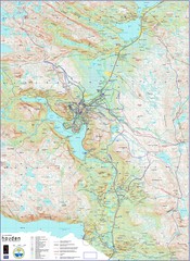
Hovden Norway Trail Map
Hovden has a total of 170 km cross-country skiing trails
4734 miles away
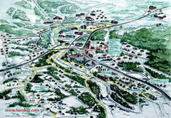
Hovden Town Map
Village map of Hovden, Norway. Panoramic view shows tourist buildings and lighted cross country...
4735 miles away
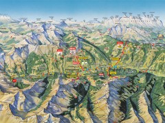
Saalbach Hinterglemm Summer Hiking Map
Summer panorama map of Saalbach and Hinterglemm Austria area. Shows trails, lifts, huts, and peaks.
4775 miles away
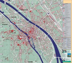
Bamberg City Map
City map of Bamberg, Germany
4797 miles away
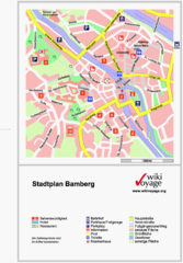
Bamberg Tourist Map
Tourist map of downtown Bamberg
4797 miles away
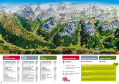
Alta Pusteria Summer Map
Panoramic summer hiking map of the Alta Pusteria, Italy, in the South Tyrol. Shows towns...
4812 miles away
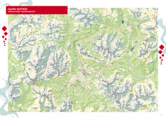
Cortina d'Ampezzo Hiking Map
Summer hiking map of the Cortina d'Ampezzo, Italy area in the heart of the Dolomite Mountains...
4813 miles away
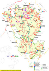
Parco Nazionale della Majella Trail Map
Trail map of Majella National Park (Parco Naz. della Majella) in Italy. Indicates under revision...
4817 miles away

Arabba Corvara Pedraces Summer Map
Summer map of Alta Badia region in Italian Dolomites
4825 miles away
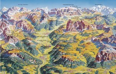
Val Gardena Summer Trail Map
Summer panoramic trail map of the Val Gardena, Italy area in the heart of the Dolomite Mountains...
4831 miles away
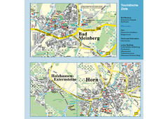
Horn-Bad Meinberg Map
Street map of Horn-Bad Meinberg and surrounding area
4833 miles away
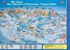
San Martino di Cartozza Ski Trail Map
Ski trail map of San Martino di Cartozza, Italy
4834 miles away
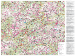
Val di Fassa Hiking Map
Hiking trail map of the Val di Fassa, Italy region. Highly detailed.
4835 miles away
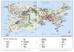
Capri Tourist Map
Tourist map of island of Capri, Italy. Shows roads, hotels, beaches, and other points of interest...
4844 miles away
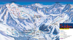
Sulden Ski Trail Map
Ski trail map of Sulden (Solda), Italy in the Ortler Alps. Shows trails and lifts.
4884 miles away
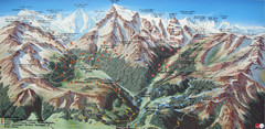
Sulden Trafoi Summer Hiking Map
Summer hiking route map of Sulden (Solda) Italy, Trafoi, Italy and Stelvio, Italy. Shows hiking...
4887 miles away

